
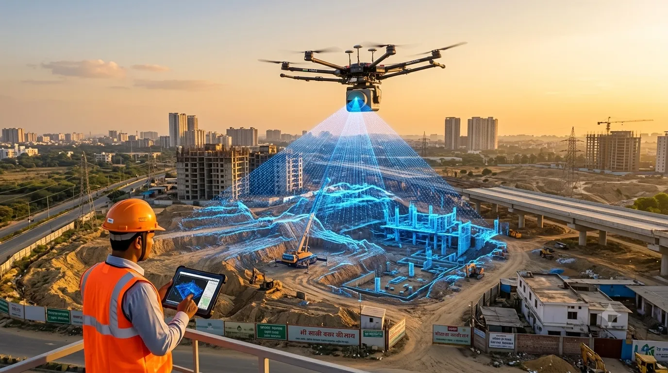
LiDAR survey cost in India depends mainly on the survey area, the platform used (drone, airborne, mobile or terrestrial), terrain and vegetation, required point density and accuracy, and the deliverables you need. Larger areas cost less per acre, and LiDAR typically costs more than photogrammetry because of sensor and processing costs. Our LiDAR survey services […]
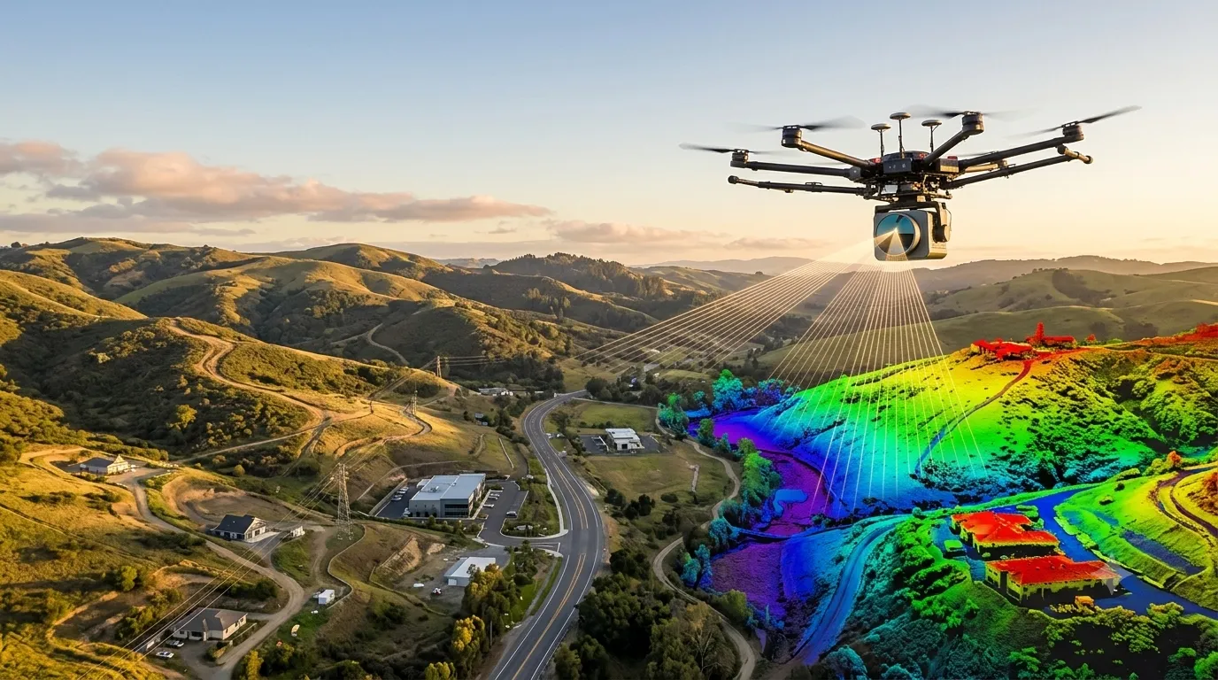
What is LiDAR Survey? Process, Equipment & Uses
A LiDAR survey (Light Detection and Ranging) is a remote sensing method that fires millions of laser pulses at the ground and structures, measures how long each pulse takes to return, and builds an accurate 3D point cloud of the surface. At Surveying India, our LiDAR survey services turn that data into terrain models, contour […]
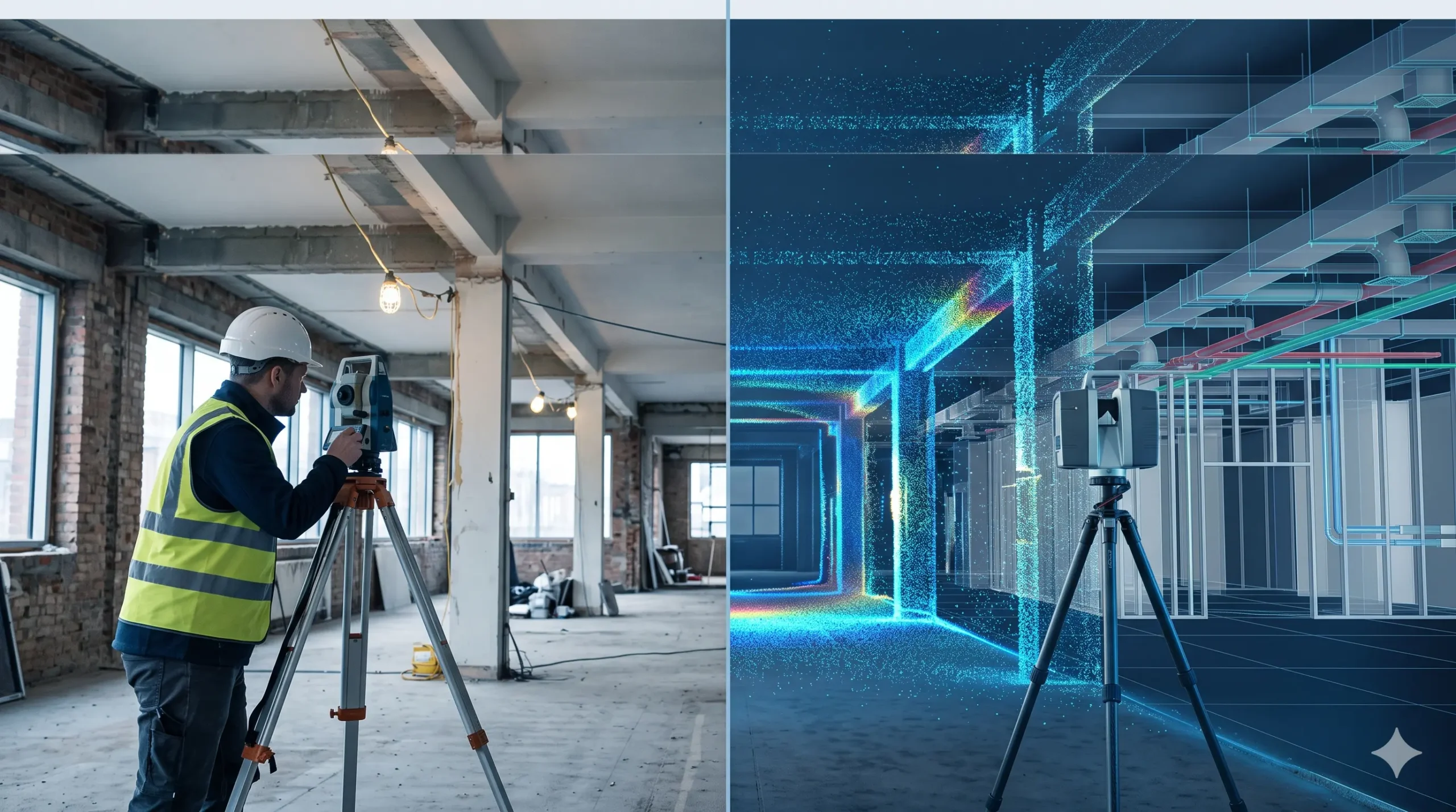
Scan to BIM Survey vs Traditional Survey: Key Differences
A traditional survey measures selected points on a site using tapes, laser distance meters, levels or a total station, and records them as 2D drawings. A Scan to BIM survey captures millions of points with a 3D laser scanner and converts them into an intelligent 3D BIM model. Traditional methods suit small, simple jobs. Scan […]
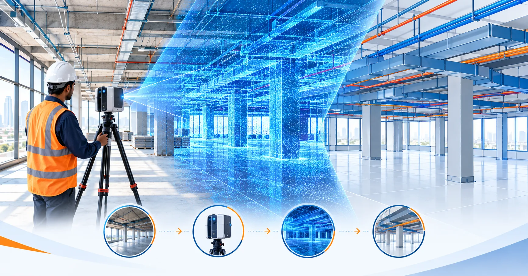
What is Scan to BIM Survey? Process, Equipment & Applications Explained
A Scan to BIM survey is a process where a 3D laser scanner captures an existing building or site as a dense point cloud, and the data is then converted into an intelligent, editable 3D BIM model (usually in Revit). It gives architects, engineers and facility managers accurate as-built drawings without repeated manual site measurements. […]

Photogrammetry vs LiDAR: Key Differences Explained
Photogrammetry vs LiDAR: What’s the Difference & Which Does Your Project Need? Every survey project starts with one question: how do we capture the site accurately? Two technologies dominate this decision today — photogrammetry and LiDAR survey. Both create 3D maps of land, buildings, and infrastructure, but they work in very different ways and suit […]
Best Scan to BIM Services in Delhi NCR
Best BIM Scanning Services in Delhi NCR Construction projects across Delhi NCR are growing fast, but one problem keeps slowing teams down — outdated drawings that don’t match real site conditions. A small error in a wall, pipeline, or structural layout can cause expensive delays and rework. This is exactly why BIM scanning services in […]