
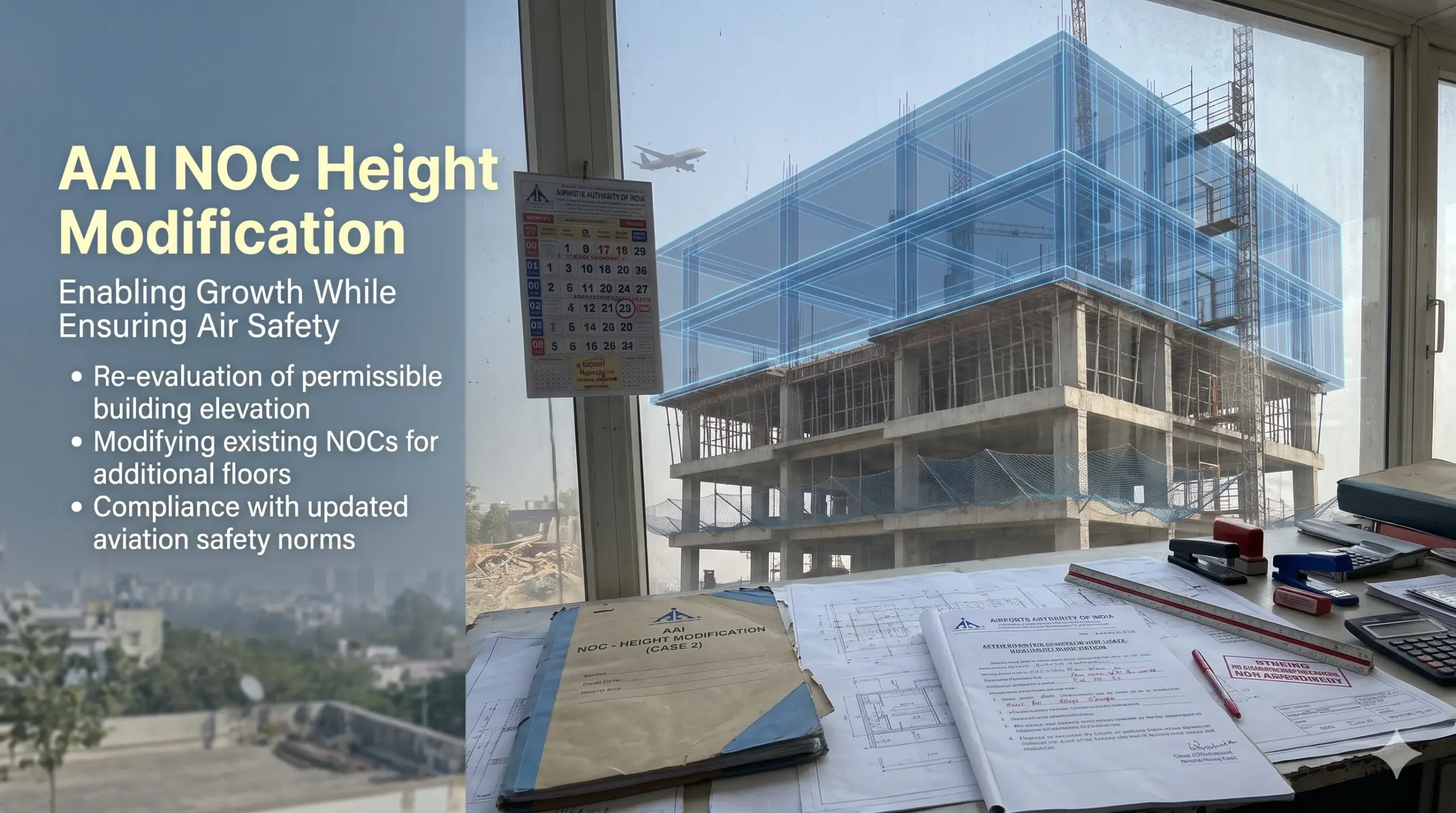
We found no AAI form called height modification. To change the height of an existing AAI NOC, you file a review once with Undertaking 1D, or appeal to the Appellate Committee. This guide shows which route fits, with steps, documents and a worked example. See also AAI NOC validity and revalidation. AAI NOC Height Modification […]

Do You Need an AAI NOC? 5-Minute Checklist (2026)
You need an AAI NOC only if your site is inside the regulated zone around an airport and your top elevation exceeds the limit permitted for your grid. This 5-minute checklist shows exactly how to check your plot, step by step. New to the topic? Start with our guide on what is AAI NOC and […]

What Is AAI NOC and Who Needs It? (Complete India Guide 2026)
AAI NOC is the No Objection Certificate from the Airports Authority of India that confirms your building, tower or other structure will not obstruct flight paths near an airport. Whether you need one depends on your site’s distance and height, which an airport NOC survey establishes before filing. AAI NOC at a Glance Item Detail […]
Building Height Restriction Near Airport: A Builder’s Guide
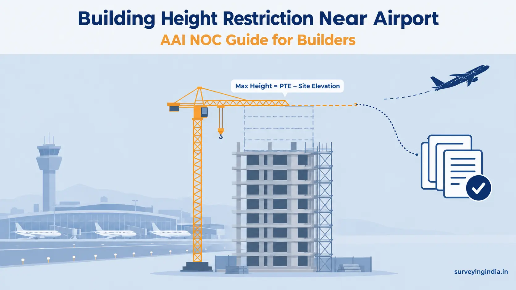
A building height restriction near airport applies to any site within 20 km of a VFR airport or 56 km of an IFR airport, measured from the Aerodrome Reference Point (ARP). Your maximum height is the Permissible Top Elevation (PTE) set by AAI minus your site’s ground elevation. You need an AAI NOC before construction […]

Top 10 Reasons Airport NOC Applications Get Rejected
Nearly half of all height clearance applications filed with AAI don’t get approved on the first attempt. That’s not an exaggeration for effect. It’s a documented pattern, and understanding it can save your project months. In short, the most common airport NOC rejection reasons involve technical data errors, not paperwork gaps. Wrong coordinate formats, certificate […]
What is Colour Coded Zoning Map (CCZM) and Why It Matters
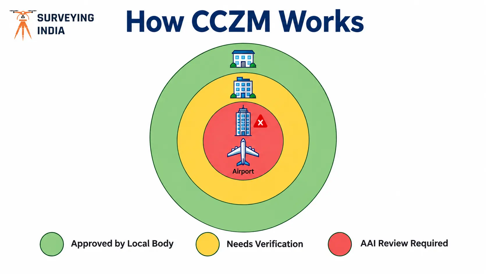
Ever wondered why some buildings near an airport get approved by the local municipal office in days, while others wait months for AAI’s sign-off? The colour coded zoning map AAI system is usually the answer. The colour coded zoning map AAI publishes is a grid-based map that shows the Permissible Top Elevation (PTE) for every […]