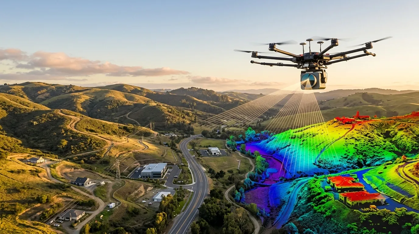
A LiDAR survey (Light Detection and Ranging) is a remote sensing method that fires millions of laser pulses at the ground and structures, measures how long each pulse takes to return, and builds an accurate 3D point cloud of the surface. At Surveying India, our LiDAR survey services turn that data into terrain models, contour […]

Call Now
+91 9871880058
Email
info@surveyingindia.in
Address
144, Netaji Subhash Enclave, Sector 72A, Gurugram, HR-122101