
Drone aerial survey cost in India depends mainly on the survey area, the sensor used (RGB camera, LiDAR or thermal), the accuracy you need, terrain and the deliverables you want. Larger areas cost less per acre because mobilisation and ground control are spread over more land, and LiDAR costs more than photogrammetry because of the […]
Drone Survey in India: Process, Applications, Cost & How It Compares to Traditional Survey
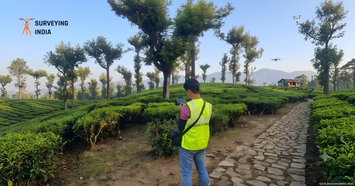
Drone Survey in India: Process, Applications, Cost & How It Compares to Traditional Survey A drone survey uses an unmanned aircraft fitted with a camera or a laser sensor to capture data of land, buildings, or infrastructure from above. In India, drone survey work has grown fast across construction, agriculture, mining, and infrastructure projects because […]