Everything you need to know about topographic surveys in India — process, uses, and how to read a topo map. Prior to constructing anything on a plot of land, it is crucial to be aware of one key factor: the physical appearance of the land. This pertains to its actual state, rather than just its […]
Blogs

Photogrammetry vs LiDAR: Key Differences Explained
Photogrammetry vs LiDAR: What’s the Difference & Which Does Your Project Need? Every survey project starts with one question: how do we capture the site accurately? Two technologies dominate this decision today — photogrammetry and LiDAR survey. Both create 3D maps of land, buildings, and infrastructure, but they work in very different ways and suit […]
Drone Survey in India: Process, Applications, Cost & How It Compares to Traditional Survey
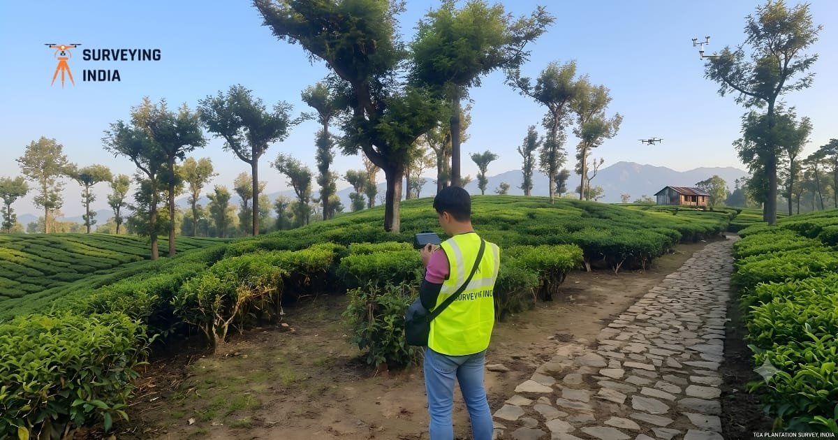
Drone Survey in India: Process, Applications, Cost & How It Compares to Traditional Survey A drone survey uses an unmanned aircraft fitted with a camera or a laser sensor to capture data of land, buildings, or infrastructure from above. In India, drone survey work has grown fast across construction, agriculture, mining, and infrastructure projects because […]
What Is DGPS Survey? Full Form, Process, Equipment & Cost in India
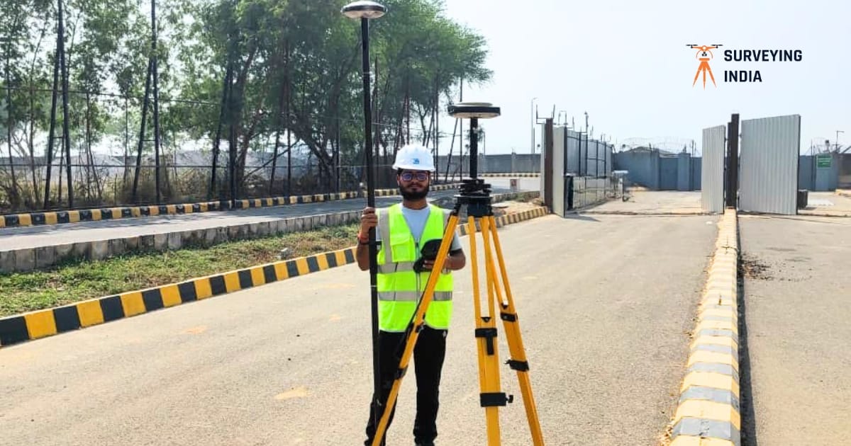
A Professional Surveyor’s Complete Guide to DGPS in India If you own land, manage infrastructure, or work in construction in India, you have probably heard the term DGPS from a surveyor. But what does it actually mean — and why does it matter for your project? At Surveying India, we use DGPS technology on projects […]
How to Choose a Land Survey Company in Gurugram – 5 Things That Actually Matter
How to Choose a Land Survey Company in Gurugram – 5 Things That Actually Matter Choosing the right land survey company Gurugram can save months of delays and costly rework. Gurugram moves fast. One quarter it is open farmland on Sohna Road; the next quarter it is a mixed-use township with five contractors on-site waiting […]
Best Scan to BIM Services in Delhi NCR
Best BIM Scanning Services in Delhi NCR Construction projects across Delhi NCR are growing fast, but one problem keeps slowing teams down — outdated drawings that don’t match real site conditions. A small error in a wall, pipeline, or structural layout can cause expensive delays and rework. This is exactly why BIM scanning services in […]

Top Soil Testing Company in Gurugram | Reliable Geotechnical Investigation Services
The Ground Beneath Your Project Tells a Story — Are You Listening? Imagine investing crores into a residential tower, commercial complex, or infrastructure project — only to discover months later that the foundation is settling unevenly. Cracks appear. Floors shift. Engineers scramble. And the root cause? Nobody properly tested the soil before construction began. This […]
Top 10 Scan to BIM Companies in Mumbai, Maharashtra
India Is Rebuilding Faster Than It Can Measure India is in the middle of a massive transformation. Scan to BIM companies in Mumbai, Maharashtra are emerging as essential partners in this shift, helping project teams replace guesswork with precision. Across cities like Mumbai, Delhi, Bengaluru, and Pune, aging commercial buildings are being retrofitted, factories are […]
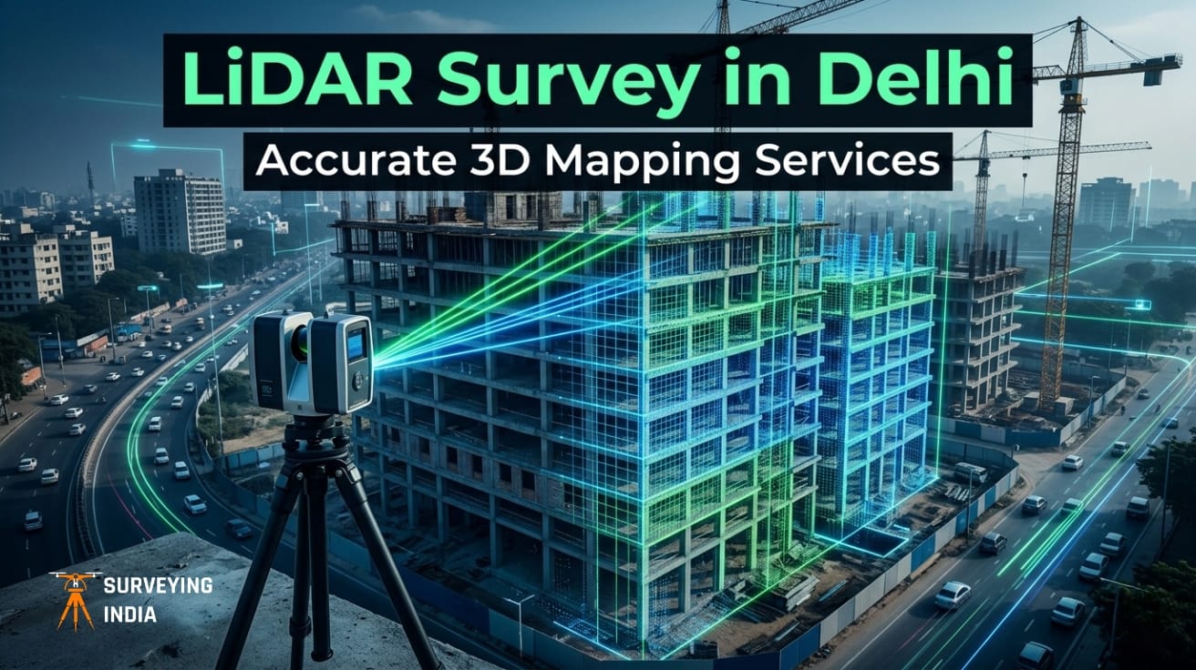
Best LiDAR Scanning and LiDAR Mapping Services in Delhi | Survey & 3D Data Solutions with unmatched precision
LiDAR Survey in Delhi: 3D Mapping Services for Construction & Infrastructure Consider a scenario where a metro rail corridor is already under construction, only for the engineering team to uncover that the foundational survey data is misaligned by several meters. What follows is inevitable—costly rework, cascading delays, and escalating budgets. It’s a disruptive and expensive […]
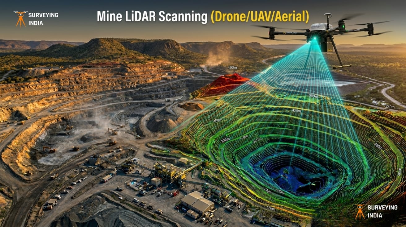
Mine LiDAR Scanning (Drone/UAV/Aerial)
Mining Drone Survey & LiDAR Scanning Services in India Surveying India provides professional mining drone survey and LiDAR scanning services across India for open-cast mines, coal mines, limestone quarries, metal mining operations, and mineral exploration projects. Our UAV-based LiDAR surveys deliver centimetre-level accuracy for mine planning, stockpile volume measurement, progress monitoring, and environmental compliance — […]

Comprehensive 3D Scanning & Point Cloud Services for BIM
Scan to BIM Services India — 3D Scanning & Point Cloud Solutions Surveying India provides professional scan to BIM services and 3D scanning point cloud solutions across India for construction, architecture, infrastructure, heritage preservation, and industrial facility projects. With 800+ successfully delivered survey and scanning projects, our team converts real-world structures into highly accurate, software-ready […]

Best UAV Drone Survey Company in Delhi NCR
UAV Drone Survey Services in Delhi NCR — Aerial Mapping & LiDAR Solutions Surveying India is a DGCA-certified UAV drone survey company in Delhi NCR. We have 100+ satisfied clients and active operations across 25+ states in India. We provide professional aerial mapping, LiDAR scanning, topographic surveys, construction monitoring, and volumetric analysis. We serve construction […]
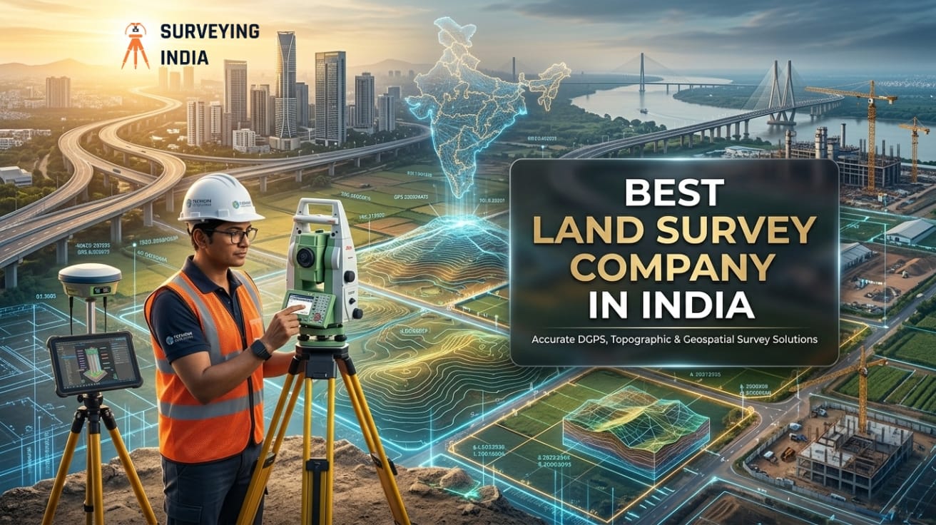
Best Land Survey Company in India
Surveying India is India’s best land survey company. We provide LiDAR, drone, DGPS, and cadastral survey services across India. Based in Gurugram, Haryana, we serve real estate developers, infrastructure agencies, mining companies, and government bodies — with centimetre-level accuracy on every project. 📍 Gurugram, Haryana | 📞 +91 9871880058 | 🌐 surveyingindia.in What Is a […]