
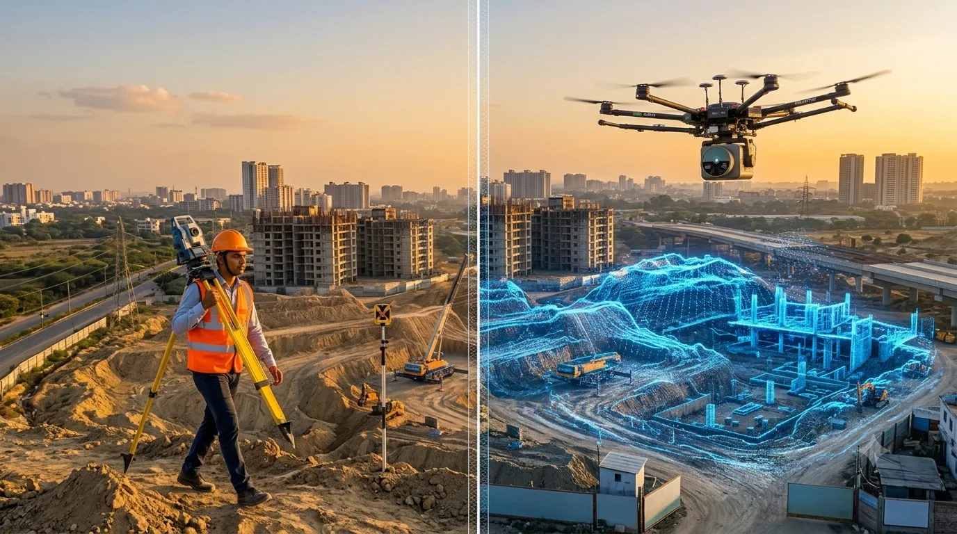
A traditional survey measures selected points on the ground using a total station, GNSS receiver or level, and records them as plans and contours. A LiDAR survey fires millions of laser pulses and captures the whole surface as a dense 3D point cloud. Traditional methods suit small, simple plots. LiDAR suits large, uneven, forested or […]
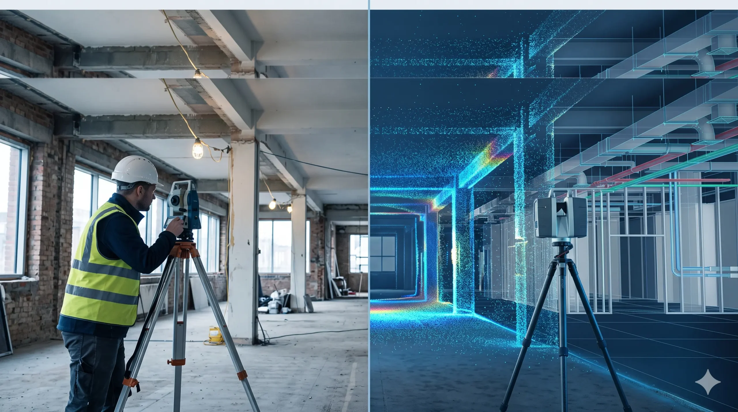
Scan to BIM Survey vs Traditional Survey: Key Differences
A traditional survey measures selected points on a site using tapes, laser distance meters, levels or a total station, and records them as 2D drawings. A Scan to BIM survey captures millions of points with a 3D laser scanner and converts them into an intelligent 3D BIM model. Traditional methods suit small, simple jobs. Scan […]