A Professional Surveyor’s Complete Guide to DGPS in India If you own land, manage infrastructure, or work in construction in India, you have probably heard the term DGPS from a surveyor. But what does it actually mean — and why does it matter for your project? At Surveying India, we use DGPS technology on projects […]
Explore professional surveying companies in India offering land surveys, drone mapping, LiDAR scanning and DGPS survey solutions.

Best Scan to BIM Services in Delhi NCR
Best BIM Scanning Services in Delhi NCR Construction projects across Delhi NCR are growing fast, but one problem keeps slowing teams down — outdated drawings that don’t match real site conditions. A small error in a wall, pipeline, or structural layout can cause expensive delays and rework. This is exactly why BIM scanning services in […]
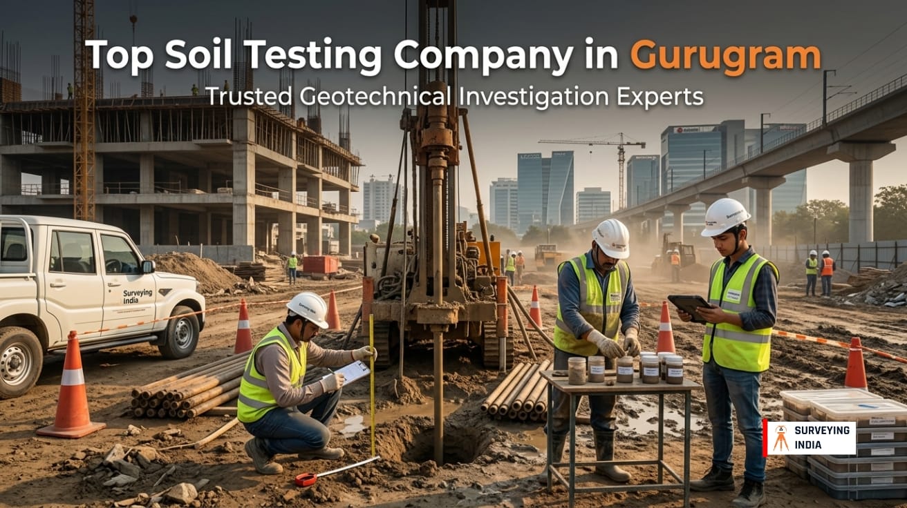
Top Soil Testing Company in Gurugram | Reliable Geotechnical Investigation Services
The Ground Beneath Your Project Tells a Story — Are You Listening? Imagine investing crores into a residential tower, commercial complex, or infrastructure project — only to discover months later that the foundation is settling unevenly. Cracks appear. Floors shift. Engineers scramble. And the root cause? Nobody properly tested the soil before construction began. This […]
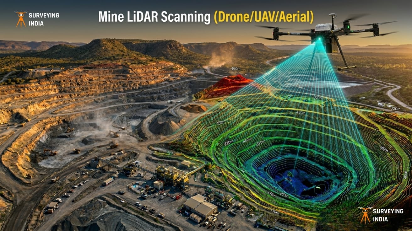
Mine LiDAR Scanning (Drone/UAV/Aerial)
Mining Drone Survey & LiDAR Scanning Services in India Surveying India provides professional mining drone survey and LiDAR scanning services across India for open-cast mines, coal mines, limestone quarries, metal mining operations, and mineral exploration projects. Our UAV-based LiDAR surveys deliver centimetre-level accuracy for mine planning, stockpile volume measurement, progress monitoring, and environmental compliance — […]
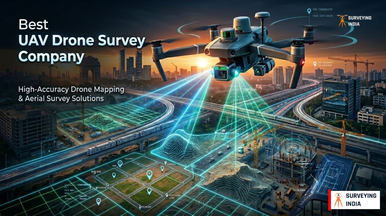
Best UAV Drone Survey Company in Delhi NCR
UAV Drone Survey Services in Delhi NCR — Aerial Mapping & LiDAR Solutions Surveying India is a DGCA-certified UAV drone survey company in Delhi NCR. We have 100+ satisfied clients and active operations across 25+ states in India. We provide professional aerial mapping, LiDAR scanning, topographic surveys, construction monitoring, and volumetric analysis. We serve construction […]