
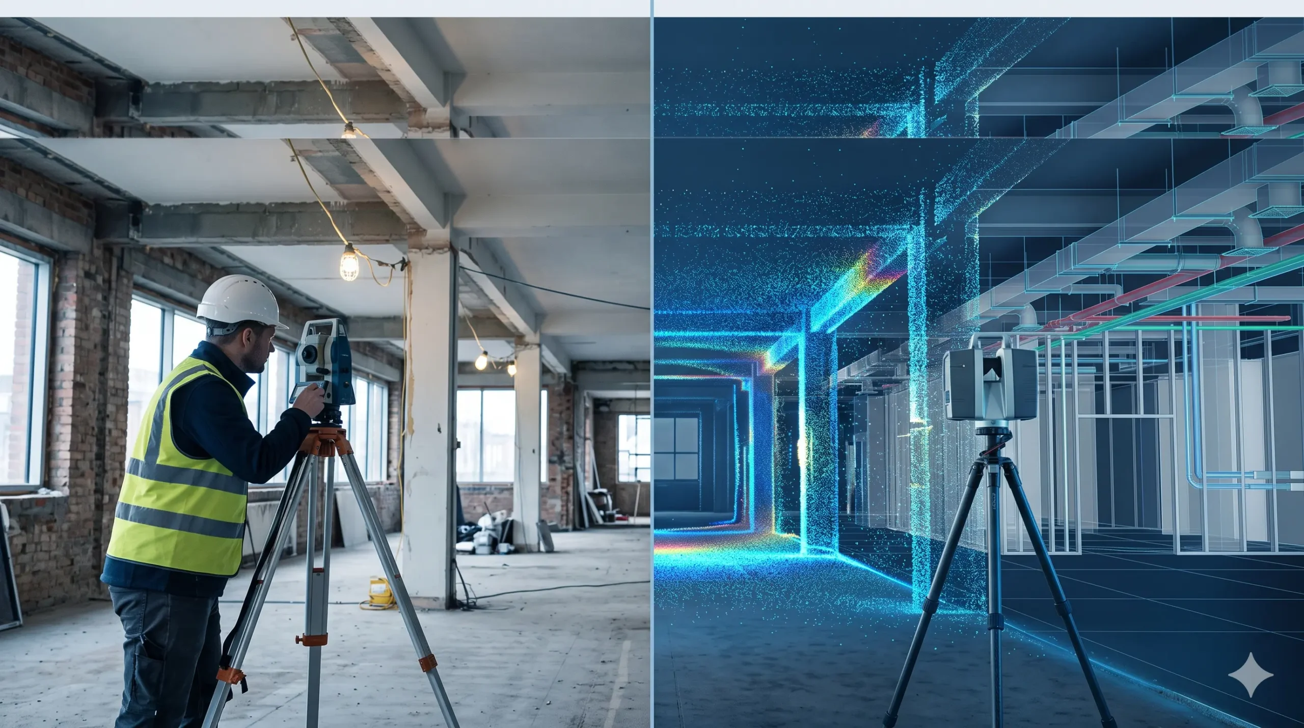
A traditional survey measures selected points on a site using tapes, laser distance meters, levels or a total station, and records them as 2D drawings. A Scan to BIM survey captures millions of points with a 3D laser scanner and converts them into an intelligent 3D BIM model. Traditional methods suit small, simple jobs. Scan […]
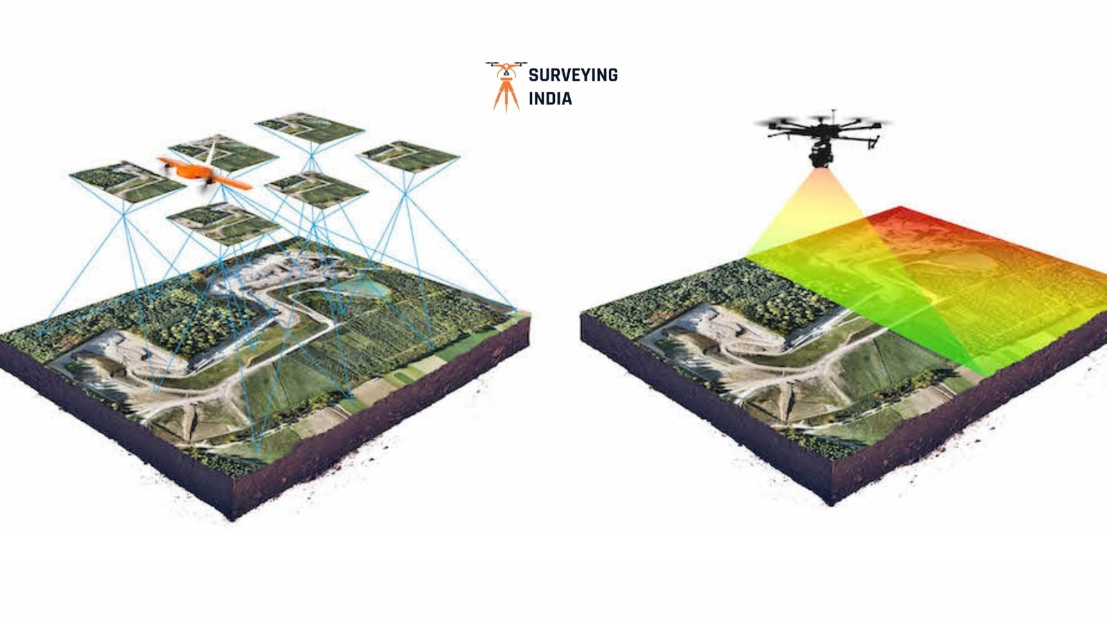
LiDAR Survey vs Drone Survey: Which One Is Right for Your Project in Nagaland?
LiDAR Survey vs Drone Survey: Which One Is Right for Your Project in Nagaland? By the Surveying India Team | Precision Geospatial Solutions, 10+ Years in the Field Choosing between LiDAR survey vs drone survey is one of the first decisions you’ll face when planning a project in Nagaland. A highway alignment near Dimapur, a […]
Top 10 Scan to BIM Companies in Mumbai, Maharashtra
India Is Rebuilding Faster Than It Can Measure India is in the middle of a massive transformation. Scan to BIM companies in Mumbai, Maharashtra are emerging as essential partners in this shift, helping project teams replace guesswork with precision. Across cities like Mumbai, Delhi, Bengaluru, and Pune, aging commercial buildings are being retrofitted, factories are […]