
When comparing LiDAR vs drone survey in Imphal, the right choice depends entirely on your site’s terrain. If your project sits on Imphal’s open valley floor, in the city, or on farmland, a drone survey in Imphal is the faster and more cost-effective choice. If your project is located on the forested hill ranges […]
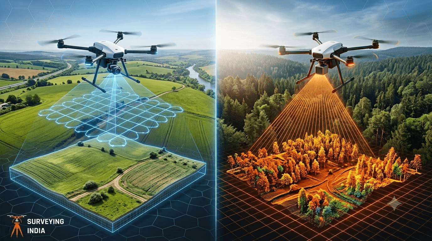
Photogrammetry vs LiDAR: Key Differences Explained
Photogrammetry vs LiDAR: What’s the Difference & Which Does Your Project Need? Every survey project starts with one question: how do we capture the site accurately? Two technologies dominate this decision today — photogrammetry and LiDAR survey. Both create 3D maps of land, buildings, and infrastructure, but they work in very different ways and suit […]