
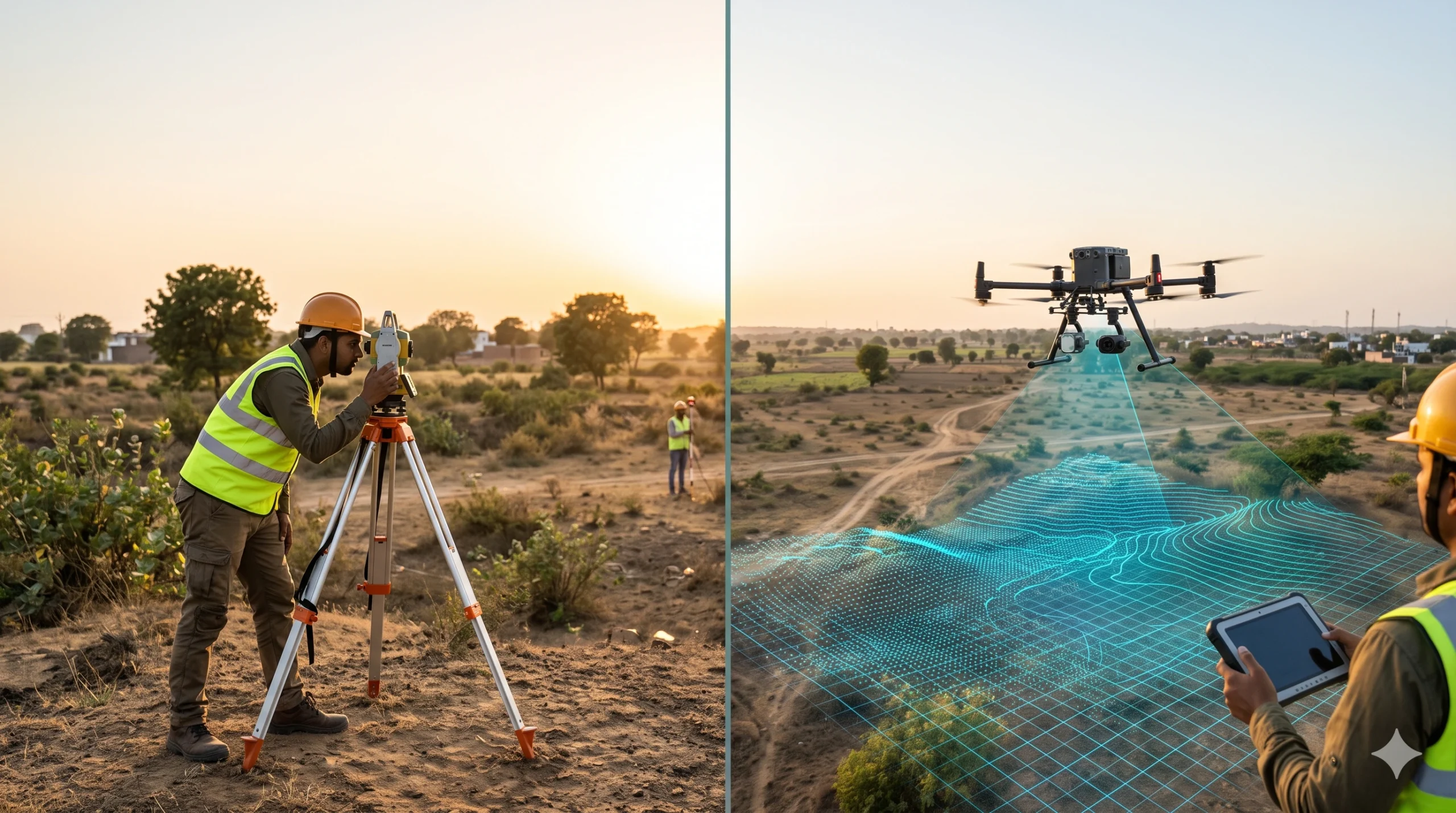
A traditional survey measures selected points on the ground with a total station, GNSS receiver or level, and records them as plans and contours. A drone aerial survey flies a UAV over the site, captures overlapping images or laser data, and processes them into maps, elevation models and 3D data that cover the entire surface. […]
What is Drone Aerial Survey? Process, Equipment & Uses
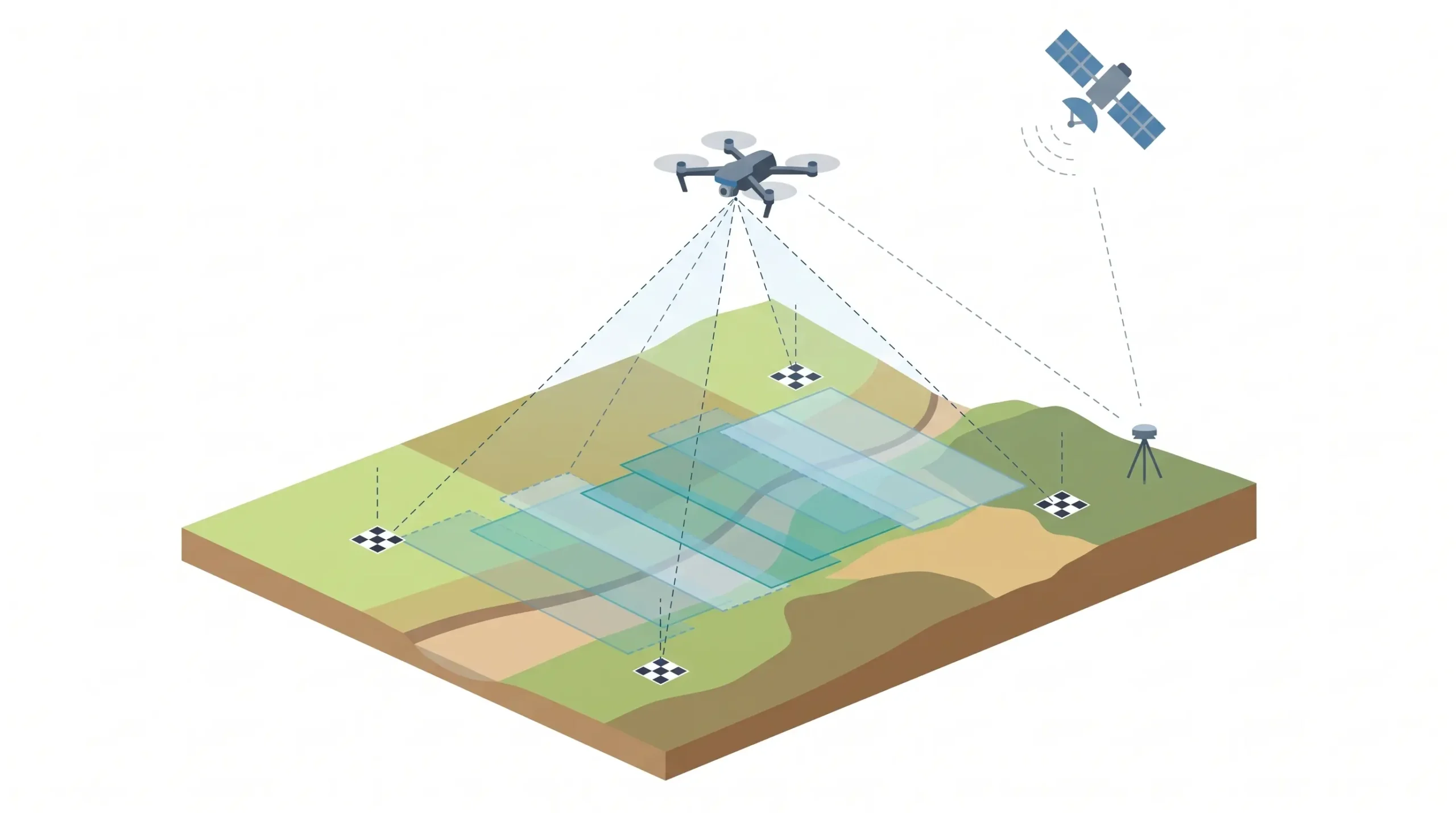
A drone aerial survey uses an unmanned aerial vehicle (UAV) fitted with a camera or LiDAR sensor to capture overlapping images or laser data of land from the air. The data is processed into georeferenced outputs such as orthomosaic maps, elevation models, contours, 3D models and volume reports. It is faster and safer than manual […]