
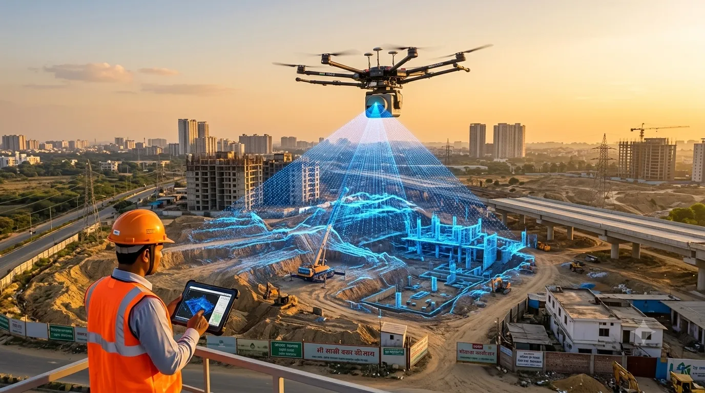
LiDAR survey cost in India depends mainly on the survey area, the platform used (drone, airborne, mobile or terrestrial), terrain and vegetation, required point density and accuracy, and the deliverables you need. Larger areas cost less per acre, and LiDAR typically costs more than photogrammetry because of sensor and processing costs. Our LiDAR survey services […]
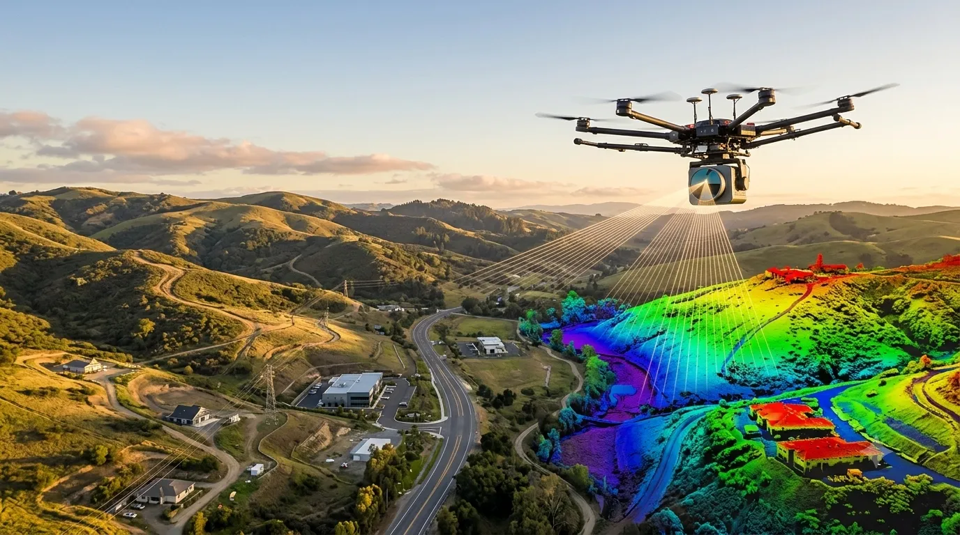
What is LiDAR Survey? Process, Equipment & Uses
A LiDAR survey (Light Detection and Ranging) is a remote sensing method that fires millions of laser pulses at the ground and structures, measures how long each pulse takes to return, and builds an accurate 3D point cloud of the surface. At Surveying India, our LiDAR survey services turn that data into terrain models, contour […]