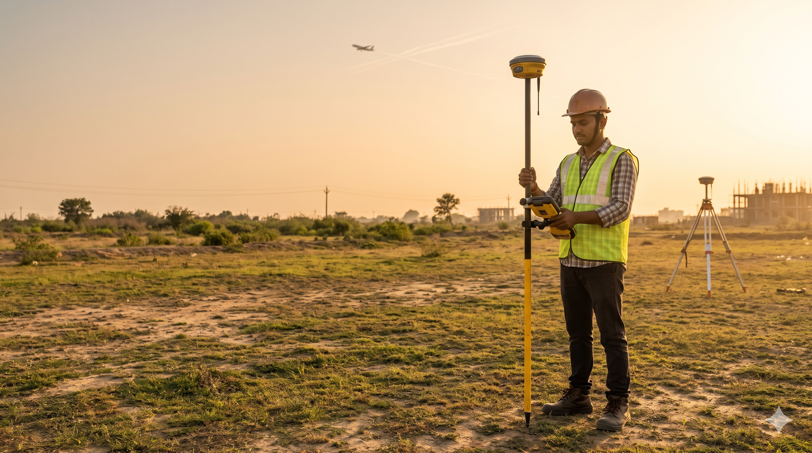
RTK-GNSS survey accuracy is centimetre-level, while a handheld or phone GPS is typically good to about 5 m. For an AAI NOC, that gap decides whether your data is acceptable, because AAI asks for 0.5 m elevation and 3 m position. Learn how it works in our site elevation survey for airport NOC guide. Quick […]
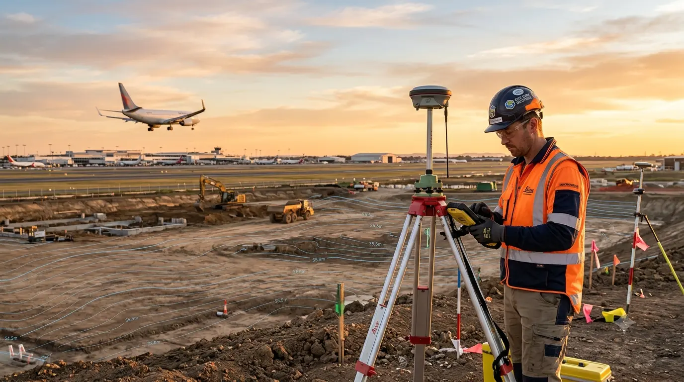
AMSL Elevation Certificate for Airport NOC Explained
AMSL stands for Above Mean Sea Level. An AMSL elevation certificate is a signed document from a qualified surveyor that states the ground elevation of your site, measured against mean sea level, together with its WGS-84 coordinates. The Airports Authority of India uses these two values in NOCAS to work out how tall your structure […]
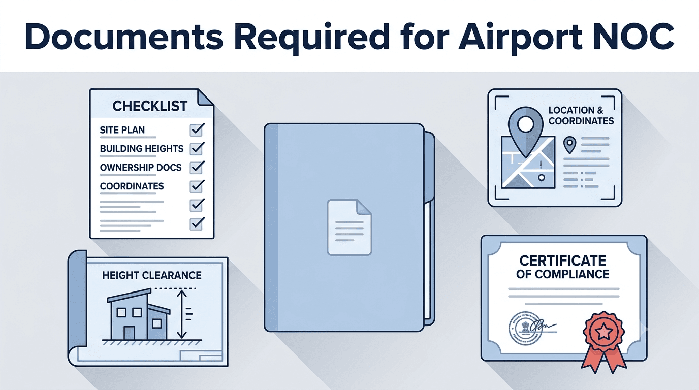
Documents Required for Airport Height Clearance NOC in India
Documents Required for Airport Height Clearance NOC in India Do you have your building drawings ready but no idea which certificates AAI actually wants? This is exactly where most airport NOC applications stall. Not because the applicant did anything wrong on purpose. Rather, because the required document list changes depending on what you’re building. The […]