
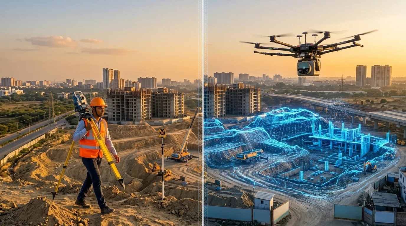
A traditional survey measures selected points on the ground using a total station, GNSS receiver or level, and records them as plans and contours. A LiDAR survey fires millions of laser pulses and captures the whole surface as a dense 3D point cloud. Traditional methods suit small, simple plots. LiDAR suits large, uneven, forested or […]
What is LiDAR Survey? Process, Equipment & Uses
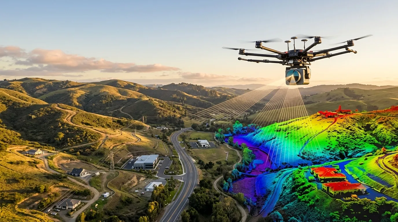
A LiDAR survey (Light Detection and Ranging) is a remote sensing method that fires millions of laser pulses at the ground and structures, measures how long each pulse takes to return, and builds an accurate 3D point cloud of the surface. At Surveying India, our LiDAR survey services turn that data into terrain models, contour […]

What is Scan to BIM Survey? Process, Equipment & Applications Explained
A Scan to BIM survey is a process where a 3D laser scanner captures an existing building or site as a dense point cloud, and the data is then converted into an intelligent, editable 3D BIM model (usually in Revit). It gives architects, engineers and facility managers accurate as-built drawings without repeated manual site measurements. […]
LiDAR Survey vs Drone Survey: Which One Is Right for Your Project in Nagaland?
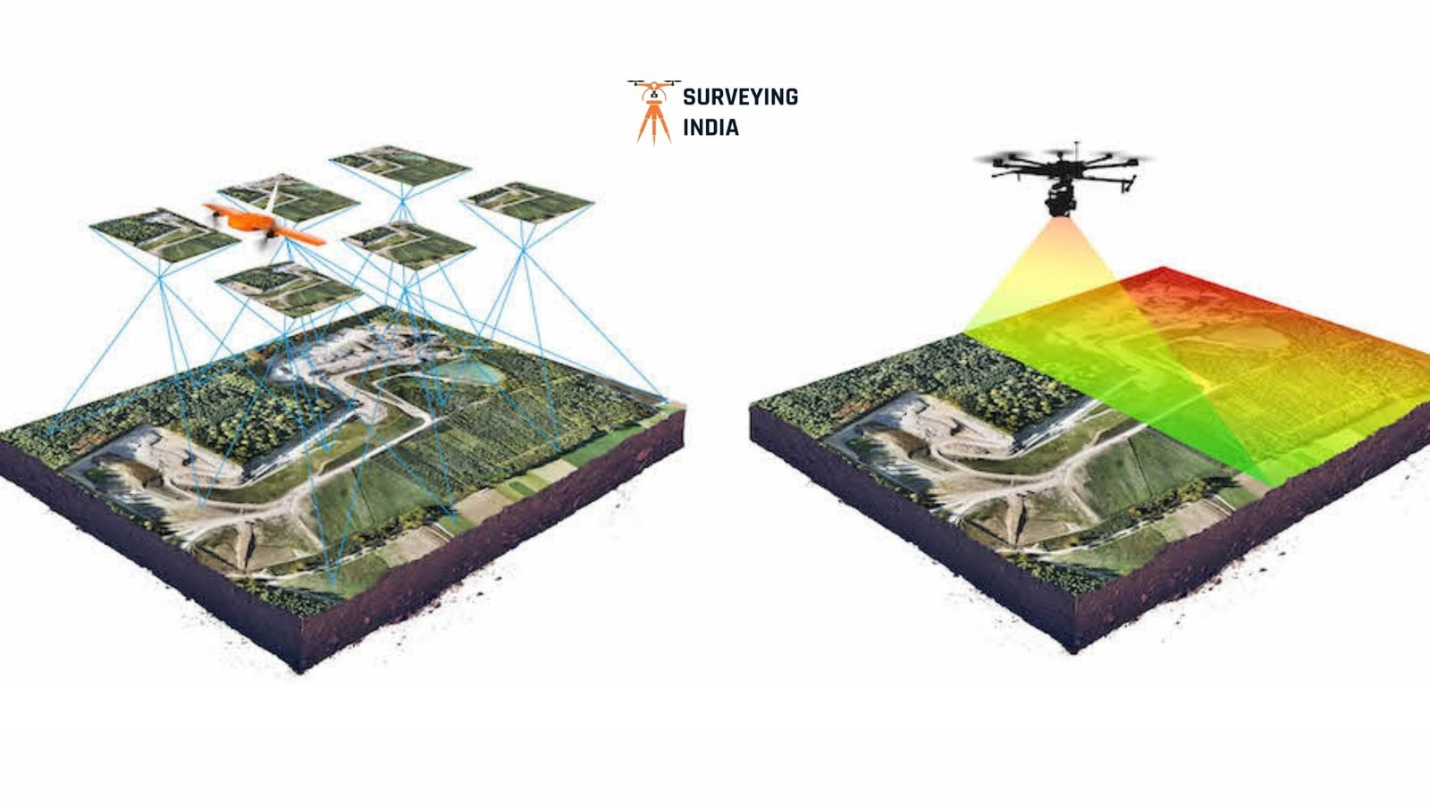
LiDAR Survey vs Drone Survey: Which One Is Right for Your Project in Nagaland? By the Surveying India Team | Precision Geospatial Solutions, 10+ Years in the Field Choosing between LiDAR survey vs drone survey is one of the first decisions you’ll face when planning a project in Nagaland. A highway alignment near Dimapur, a […]
LiDAR Survey vs Drone Survey in Imphal: The Complete Guide to Choosing the Right Aerial Mapping Method (2026)
When comparing LiDAR vs drone survey in Imphal, the right choice depends entirely on your site’s terrain. If your project sits on Imphal’s open valley floor, in the city, or on farmland, a drone survey in Imphal is the faster and more cost-effective choice. If your project is located on the forested hill ranges […]
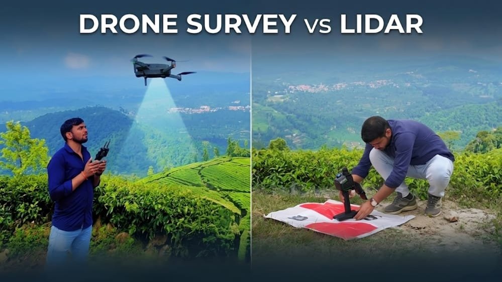
Drone Survey vs Lidar Survey in Agartala
Drone vs Lidar Survey in Agartala: Which One Is Right for Your Project? If you’re planning a construction, infrastructure, mining, agricultural, or land development project in Agartala or anywhere in Tripura, one of the first questions you’ll face is the classic drone vs lidar survey debate: should you go for a drone survey or a […]
How to Choose a Land Survey Company in Gurugram – 5 Things That Actually Matter
How to Choose a Land Survey Company in Gurugram – 5 Things That Actually Matter Choosing the right land survey company Gurugram can save months of delays and costly rework. Gurugram moves fast. One quarter it is open farmland on Sohna Road; the next quarter it is a mixed-use township with five contractors on-site waiting […]