
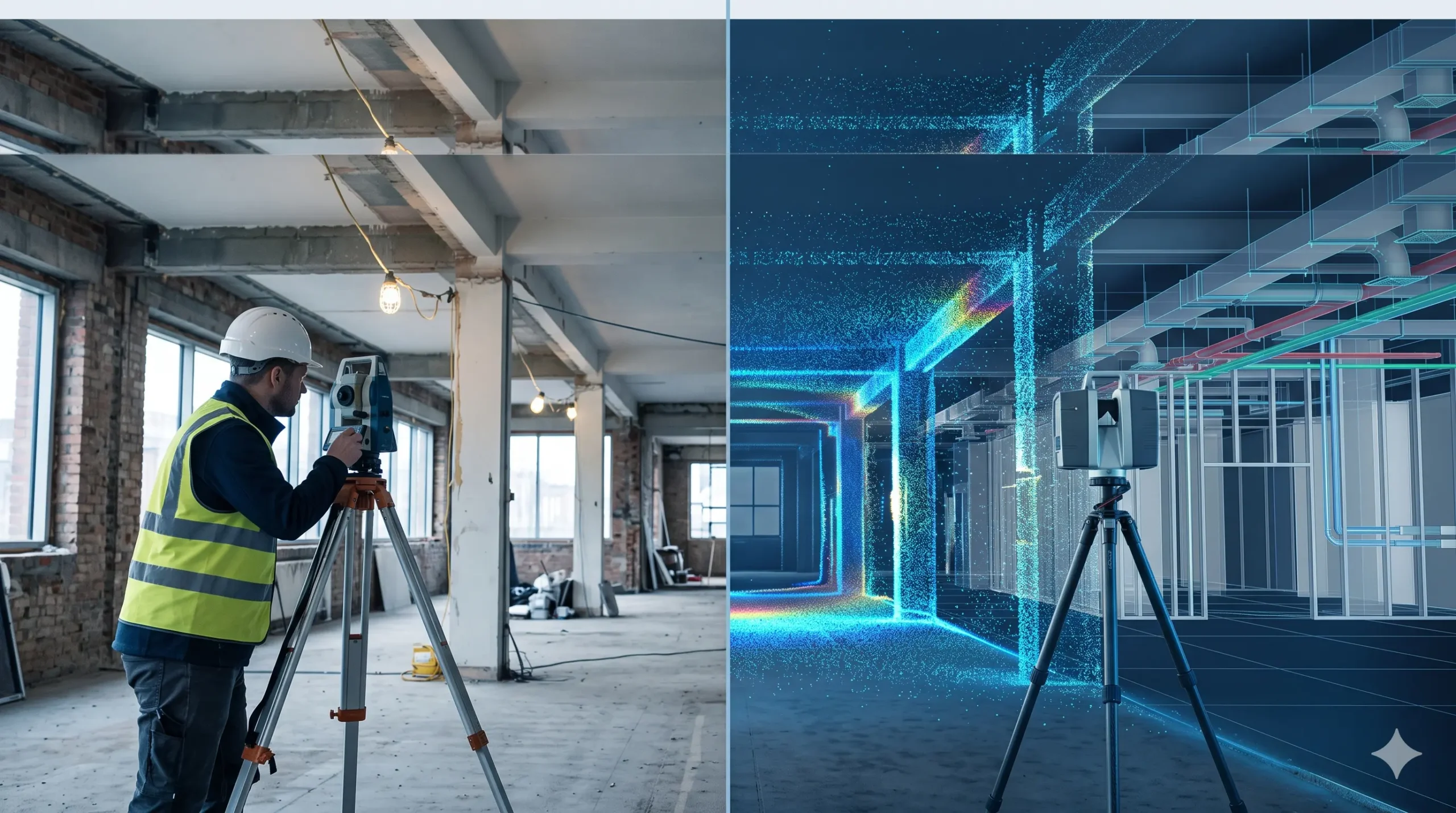
A traditional survey measures selected points on a site using tapes, laser distance meters, levels or a total station, and records them as 2D drawings. A Scan to BIM survey captures millions of points with a 3D laser scanner and converts them into an intelligent 3D BIM model. Traditional methods suit small, simple jobs. Scan […]
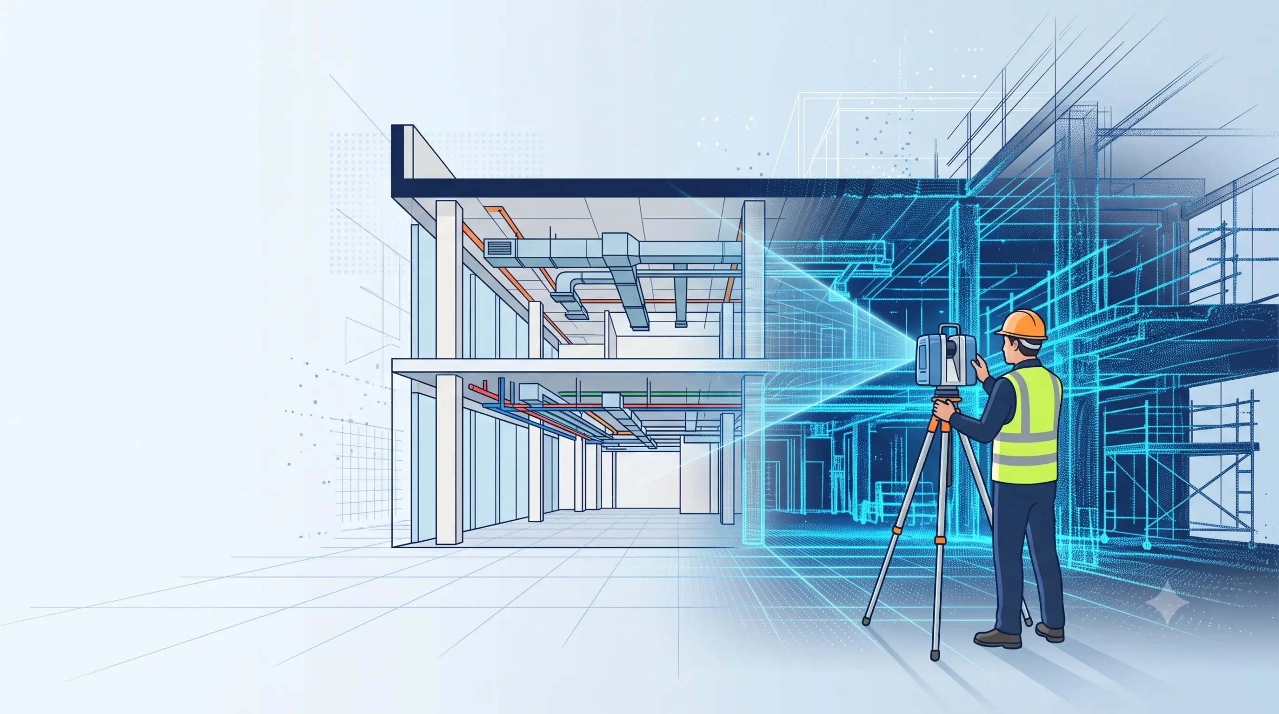
Scan to BIM Survey Cost in India – Pricing Guide
Scan to BIM survey cost in India depends mainly on the built-up area, the Level of Development (LOD), the disciplines modelled (architecture, structure, MEP) and site access. The total is always two parts added together: scanning (field capture) and BIM modelling (office work). Modelling is usually the larger share, and a higher LOD or heavy […]
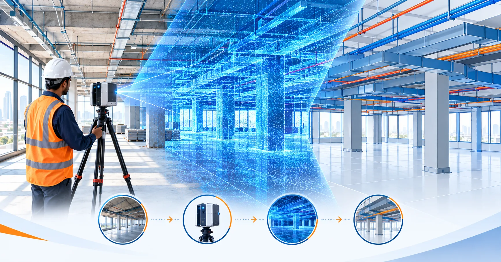
What is Scan to BIM Survey? Process, Equipment & Applications Explained
A Scan to BIM survey is a process where a 3D laser scanner captures an existing building or site as a dense point cloud, and the data is then converted into an intelligent, editable 3D BIM model (usually in Revit). It gives architects, engineers and facility managers accurate as-built drawings without repeated manual site measurements. […]
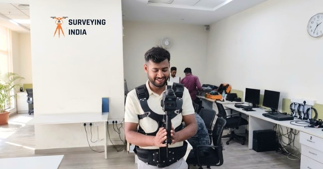
Best Scan to BIM Services in Delhi NCR
Best BIM Scanning Services in Delhi NCR Construction projects across Delhi NCR are growing fast, but one problem keeps slowing teams down — outdated drawings that don’t match real site conditions. A small error in a wall, pipeline, or structural layout can cause expensive delays and rework. This is exactly why BIM scanning services in […]