
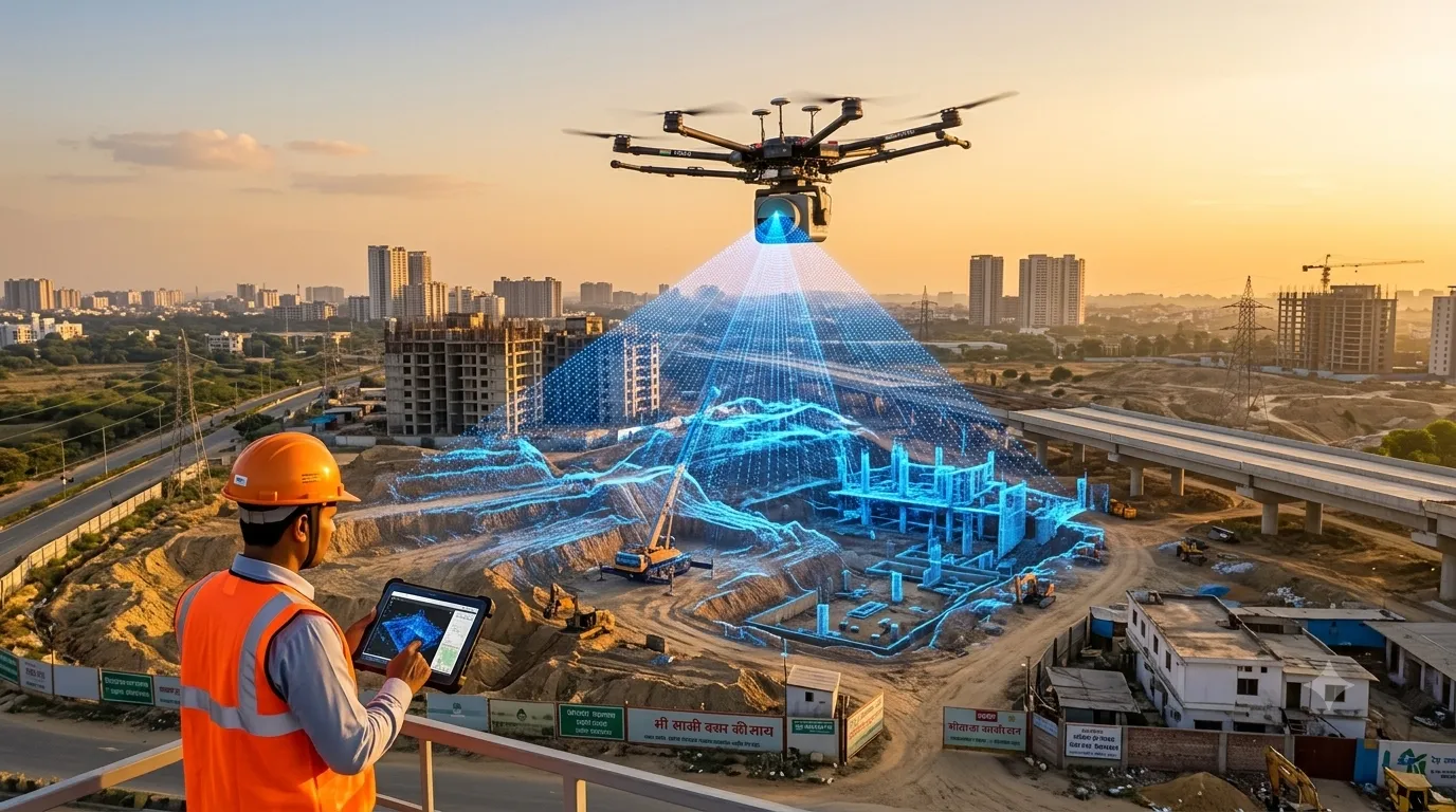
LiDAR survey cost in India depends mainly on the survey area, the platform used (drone, airborne, mobile or terrestrial), terrain and vegetation, required point density and accuracy, and the deliverables you need. Larger areas cost less per acre, and LiDAR typically costs more than photogrammetry because of sensor and processing costs. Our LiDAR survey services […]
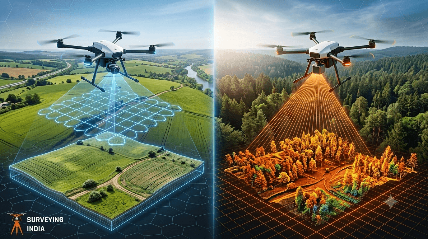
Photogrammetry vs LiDAR: Key Differences Explained
Photogrammetry vs LiDAR: What’s the Difference & Which Does Your Project Need? Every survey project starts with one question: how do we capture the site accurately? Two technologies dominate this decision today — photogrammetry and LiDAR survey. Both create 3D maps of land, buildings, and infrastructure, but they work in very different ways and suit […]