Drone aerial survey cost in India depends mainly on the survey area, the sensor used (RGB camera, LiDAR or thermal), the accuracy you need, terrain and the deliverables you want. Larger areas cost less per acre because mobilisation and ground control are spread over more land, and LiDAR costs more than photogrammetry because of the […]
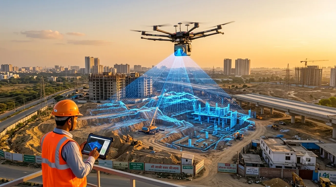
LiDAR Survey Cost in India (2026 Pricing Guide)
LiDAR survey cost in India depends mainly on the survey area, the platform used (drone, airborne, mobile or terrestrial), terrain and vegetation, required point density and accuracy, and the deliverables you need. Larger areas cost less per acre, and LiDAR typically costs more than photogrammetry because of sensor and processing costs. Our LiDAR survey services […]