
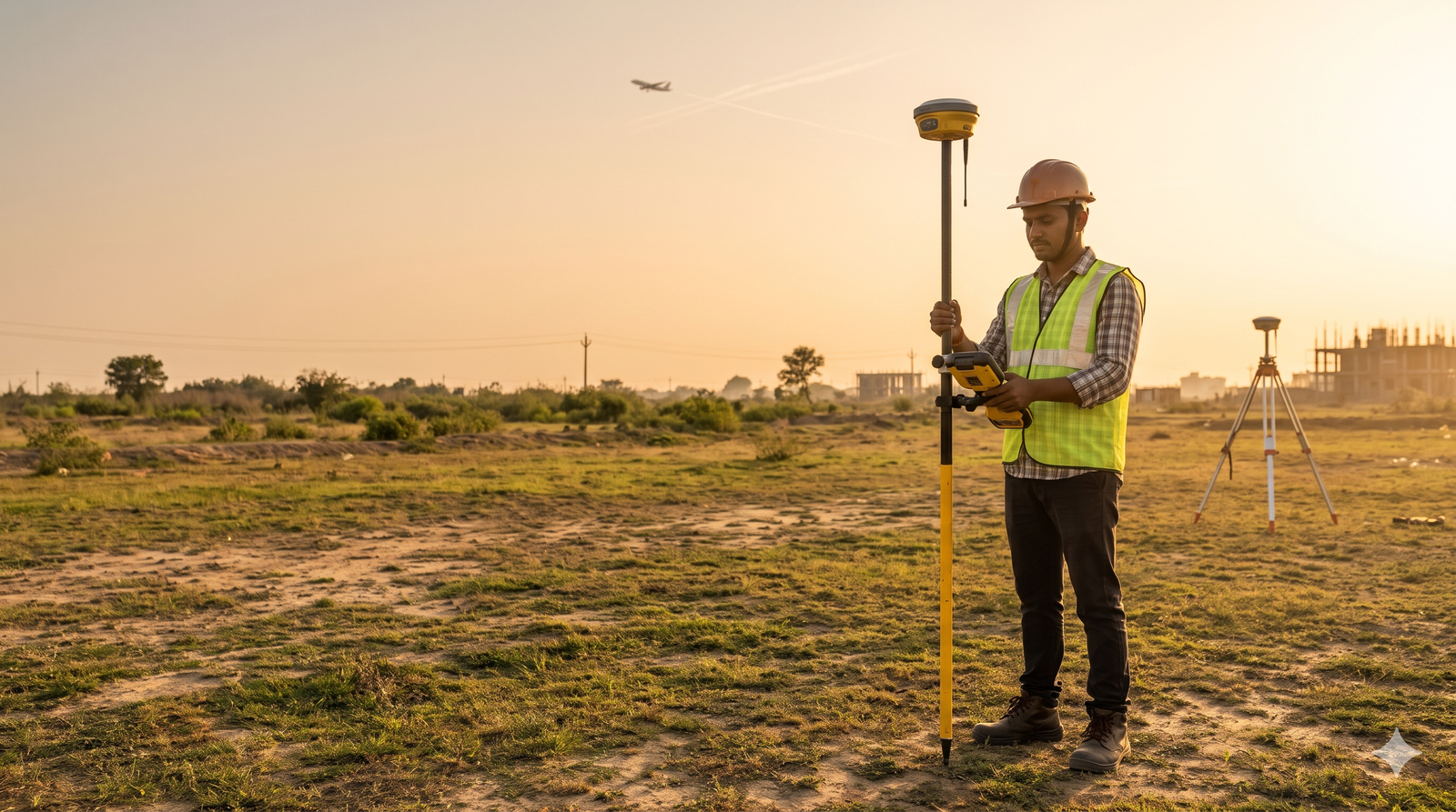
RTK-GNSS survey accuracy is centimetre-level, while a handheld or phone GPS is typically good to about 5 m. For an AAI NOC, that gap decides whether your data is acceptable, because AAI asks for 0.5 m elevation and 3 m position. Learn how it works in our site elevation survey for airport NOC guide. Quick […]
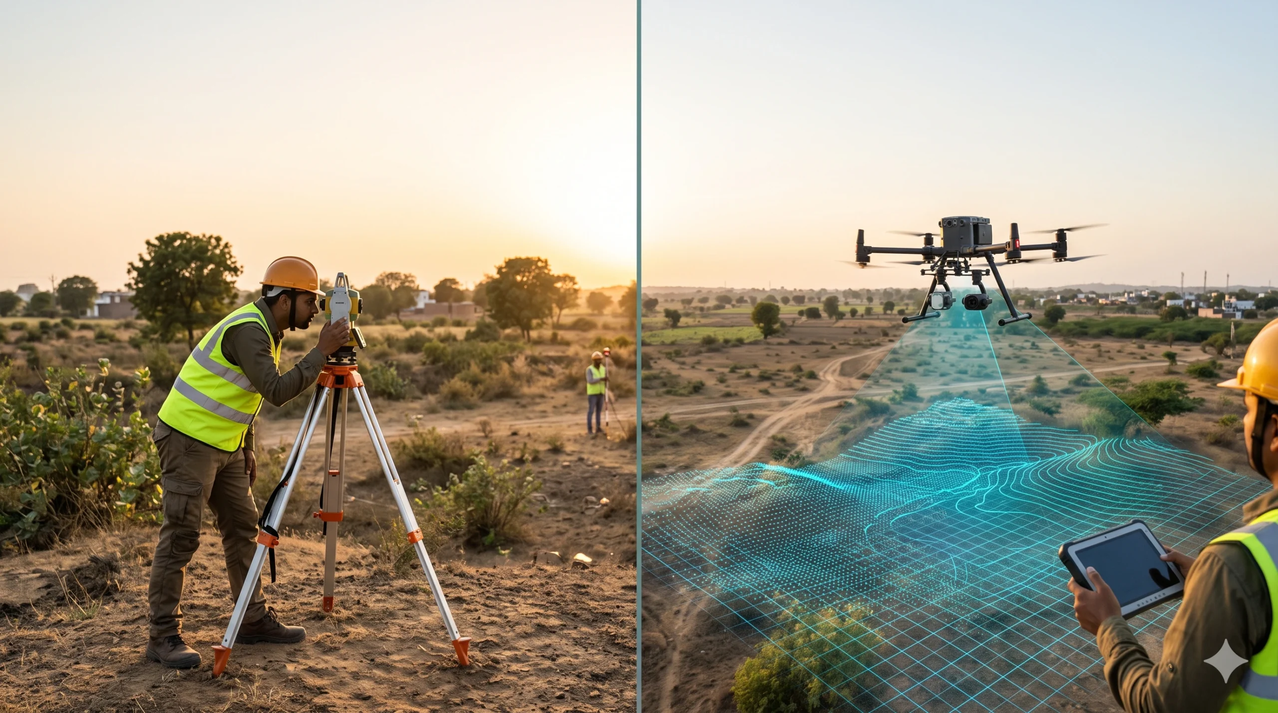
Drone Aerial Survey vs Traditional Survey: Key Differences
A traditional survey measures selected points on the ground with a total station, GNSS receiver or level, and records them as plans and contours. A drone aerial survey flies a UAV over the site, captures overlapping images or laser data, and processes them into maps, elevation models and 3D data that cover the entire surface. […]

LiDAR Survey vs Traditional Survey: Key Differences
A traditional survey measures selected points on the ground using a total station, GNSS receiver or level, and records them as plans and contours. A LiDAR survey fires millions of laser pulses and captures the whole surface as a dense 3D point cloud. Traditional methods suit small, simple plots. LiDAR suits large, uneven, forested or […]

Scan to BIM Survey vs Traditional Survey: Key Differences
A traditional survey measures selected points on a site using tapes, laser distance meters, levels or a total station, and records them as 2D drawings. A Scan to BIM survey captures millions of points with a 3D laser scanner and converts them into an intelligent 3D BIM model. Traditional methods suit small, simple jobs. Scan […]