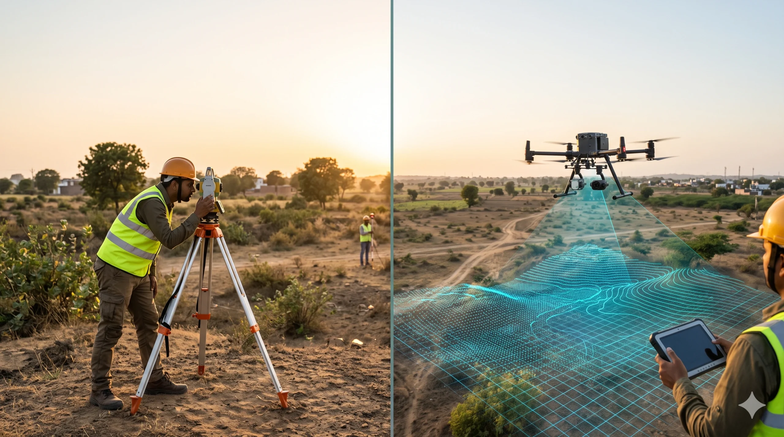
A traditional survey measures selected points on the ground with a total station, GNSS receiver or level, and records them as plans and contours. A drone aerial survey flies a UAV over the site, captures overlapping images or laser data, and processes them into maps, elevation models and 3D data that cover the entire surface. […]

Call Now
+91 9871880058
Email
info@surveyingindia.in
Address
144, Netaji Subhash Enclave, Sector 72A, Gurugram, HR-122101