Whether you need a defence NOC or an AAI NOC depends on what stands near your site: a civil airport, a military airfield, a defence establishment, or a mix. This decision flowchart gives the answer in just a few minutes. For a detailed side-by-side table, read our defence NOC vs AAI NOC comparison.
Quick Answer
- Civil airport nearby: apply for an AAI NOC through NOCAS, unless auto-settle or the zoning map clears your height.
- Military airfield nearby (IAF, Navy, Coast Guard, HAL): apply to that defence authority. NOCAS does not accept these applications.
- Defence establishment or cantonment nearby, with no flying: a different route through the Local Military Authority or the Cantonment Board.
- More than one of the above: you need each clearance separately.
The Decision Flowchart, Step by Step
Answer the steps in order. Every “yes” adds one clearance to your list.
Step 1: List Every Airfield Near Your Site
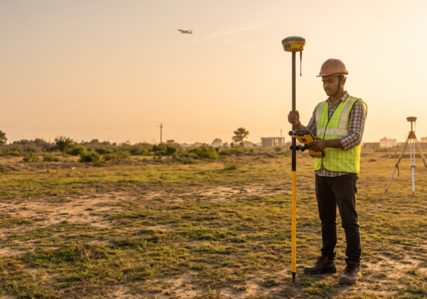
Note each airfield within roughly 56 km, civil and military. AAI’s zones are 20 km from the reference point of a VFR airport and 56 km for an IFR airport. If you are not sure which type applies, see VFR vs IFR airport NOC distance zones. Defence authorities set their own zones, so ask the station for its map.
Step 2: Is Any of Them a Civil Airport?
If yes, the AAI route applies. AAI’s Designated Officers issue NOCs for AAI airports and also for state-owned and private aerodromes licensed by DGCA. Then check:
- Beyond 20 km (VFR) or 56 km (IFR) and under 150 m AGL: the application is auto-settled with a “NOC not required” letter.
- In a city with a colour coded zoning map, and your top elevation is within it: your local body approves. See colour coded zoning map (CCZM) explained.
- Otherwise: apply through NOCAS. Use the 5-minute AAI NOC required checklist to confirm.
If the nearby aerodrome is an unlicensed civil aerodrome, AAI’s NOC letters say you may need clearance from the state government as applicable.
Step 3: Is Any of Them a Military Airfield?
If yes, a defence NOC applies. AAI’s own NOC letters tell applicants to seek a separate NOC from defence when the site lies within a defence aerodrome’s jurisdiction, and the defence authority issues it. The Indian Air Force has published colour coded zoning maps for its airfields, and its guidelines say proposals within the mapped elevation can be handled by the local municipal authority, while higher ones go to the Air Force. Ask the station for the map. See our guides to defence IAF height clearance NOC and defence NOC in India.
Step 4: Is the Airfield Shared by Civil and Military Flying?

Some airports have civil flying at a defence airfield, such as the cases in Pune and Chandigarh. Which authority handles your plot depends on how the aerodrome is listed in the Rules, so confirm in writing with both AAI and the station before you design.
Step 5: Is There a Defence Establishment or Cantonment Nearby?
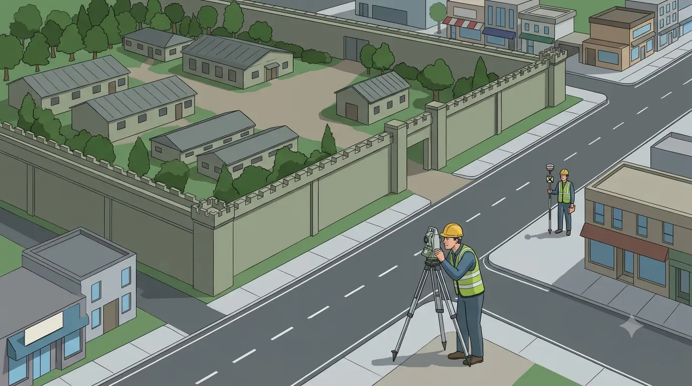
An Army depot, station or camp with no airfield triggers a different clearance. It concerns security and sight lines, not flight paths.
- Outside a cantonment: the Local Military Authority’s view goes to your municipal body. See NOC from local military authority for construction.
- Inside a cantonment: the Cantonment Board or its Chief Executive Officer sanctions your plan. See Army NOC for construction near cantonment.
Ministry of Defence circulars on this subject have changed over time, so confirm which one your authority applies.
Step 6: Is the Structure a Telecom Mast?
AAI’s guidelines say wireless masts go through the SACFA route, with AAI giving its height clearance to SACFA. See mobile tower airport NOC rules. Transmission lines and towers are covered in transmission line and tower AAI NOC.
Step 7: Count Your Clearances
| If your answer is yes to | You need | Issued by | Where you apply |
|---|---|---|---|
| Step 2 only | AAI NOC (or auto-settle / local body under CCZM) | AAI Designated Officer | NOCAS |
| Step 3 only | Defence height NOC | The defence authority for that airfield | Directly to that authority |
| Steps 2 and 3, or Step 4 | Both | AAI and the defence authority | NOCAS and the defence authority |
| Step 5 (outside cantonment) | Local Military Authority’s view | Station Commander, through your municipal body | Via your planning authority |
| Step 5 (inside cantonment) | Building sanction | Cantonment Board or CEO | The Board |
| Step 6 | SACFA clearance | SACFA Secretariat, with AAI | SACFA |
| No to all | No height NOC follows from this chart | none | Local building rules and other NOCs can still apply |
Four Illustrative Scenarios
These are examples, not real projects.
- Plot 12 km from a civil airport only. You are inside the 20 km VFR or 56 km IFR zone. Run the checklist, compare your height with the zoning map, and file on NOCAS if needed.
- Plot 8 km from an Air Force station, no civil airport. NOCAS will not take this. Ask the station for its zoning map and apply to the defence authority.
- Plot near a shared civil-military airport. Expect to speak to both authorities. Get written confirmation of who handles your grid.
- Plot beside an Army depot, no airfield. The Local Military Authority route applies through your municipal body, not an aviation NOC.
How the Two NOCs Differ at a Glance
| AAI NOC | Defence NOC | |
|---|---|---|
| Issued by | AAI Designated Officer | Defence authority for that airfield |
| How to apply | Online, NOCAS | Directly to the authority |
| Maximum time | 15 working days from receipt | No published timeline found |
| Validity | 8 years | Stated in each NOC |
| Zoning maps | On NOCAS | Held by the defence authority, with IAF maps published on its website |
AAI’s figures come from its circular. For defence NOCs, always rely on the letter you receive.
One Survey, Reused for Every Clearance
Both clearances start from the same measured facts. AAI requires WGS-84 coordinates in DD MM SS.s with position accuracy within 3 m, and site elevation in metres AMSL within 0.5 m. For plots above 300 sq m, you need all corners plus the point nearest the airport, and the highest ground point if it is above the corners. A defence station may ask for its own format, so confirm before the survey. Get it right once, because data errors can void an NOC. See wrong coordinates NOC rejected, the site elevation survey for airport NOC, the WGS-84 coordinates certificate for NOC and the AMSL elevation certificate.
Common Mistakes
- Assuming an AAI NOC also clears a site near an Air Force base
- Looking for a defence application on NOCAS
- Treating a cantonment sanction or Local Military Authority view as an aviation NOC
- Checking only the nearest airfield and missing a second one
- Using different survey data for different applications
- Filing a telecom mast on NOCAS instead of SACFA
If You Applied to the Wrong Authority
We found no published mechanism for moving an application between AAI and a defence authority, so expect to re-apply to the correct one. If an authority raises objections, use our guide to AAI NOC objection reply and review common airport NOC rejection reasons. If you are new to the topic, start with what is AAI NOC and who needs it.
Frequently Asked Questions
Is a defence NOC the same as an AAI NOC?
No. AAI issues NOCs for civil aerodromes, while the defence authority issues them for defence aerodromes. They are separate applications to separate authorities.
Can I apply for a defence NOC on NOCAS?
No. NOCAS handles civil aerodromes. For defence aerodromes, apply to the defence authority concerned.
Do I need both a defence NOC and an AAI NOC?
If your site falls within the zones of both a civil airport and a military airfield, yes. Confirm with each authority.
Which should I apply for first?
No rule sets an order. Many applicants prepare one survey and file with both authorities at the same time. Confirm each authority’s requirements first.
Does an AAI NOC cover a site near an Army depot?
No. An AAI NOC concerns aircraft safety. A depot or cantonment follows the Local Military Authority or Cantonment Board route.
Do I need an AAI NOC if my plot is inside a cantonment?
The Cantonment Board sanctions the building plan. If your site is also inside an airport’s zone and above the permitted height, an aviation NOC can apply in addition. Check both.
How do I know if my nearest airfield is civil or defence?
The Rules list civil and defence aerodromes in separate schedules. Ask the airport operator, or check the zoning map for your city.
Not Sure Which Clearances Apply to Your Plot?
Send us your plot location and proposed height, and we will tell you which clearances to prepare for and what survey data you need. Visit Surveying India, explore our airport NOC survey services in India, or contact us. We work in Delhi NCR, Bengaluru, Jaipur and Lucknow. Verify rules with NOCAS, the Ministry of Civil Aviation and the Indian Air Force.
Last updated: 30 October 2026. This chart is a planning guide. The authority concerned decides which clearance applies to your site.