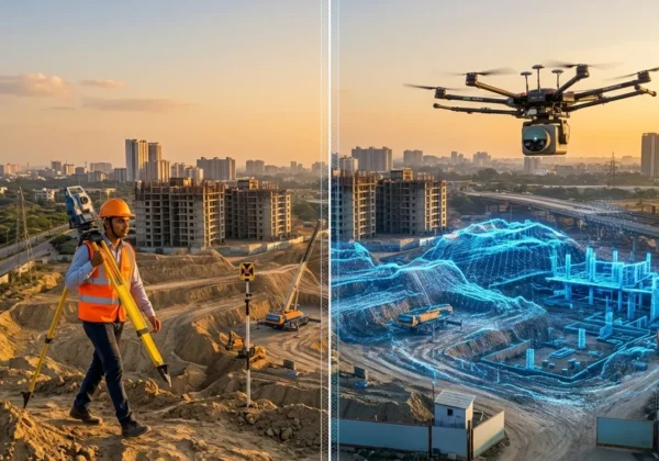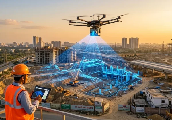
When comparing LiDAR vs drone survey in Imphal, the right choice depends entirely on your site’s terrain. If your project sits on Imphal’s open valley floor, in the city, or on farmland, a drone survey in Imphal is the faster and more cost-effective choice. If your project is located on the forested hill ranges surrounding the valley, you need a LiDAR survey in Imphal, because laser pulses can reach the ground through gaps in tree canopy that a drone camera simply cannot see through. Many large infrastructure projects in Manipur — especially road and railway corridors — end up requiring both methods on the same site.
This guide on LiDAR vs drone survey in Imphal breaks down exactly how to make that decision, backed by real project data from the region.
Why Imphal’s Geography Makes This Decision Different
Most cities don’t force you to choose between two survey technologies. Imphal does, and the reason is simple geography. The capital of Manipur sits inside a flat valley at roughly 790 metres above sea level, completely surrounded by dense hill forest. This creates two distinct mapping environments within the same district.
On the valley floor, the ground is clearly visible from above at all times — city wards, farmland, construction sites, and open plots. A camera-based aerial platform can photograph this terrain with no obstruction, which is exactly what a drone survey is built for.
On the hills ringing the valley, thick forest canopy blocks that same camera view completely. A drone photo of a forested hillside shows you the tops of trees, not the ground beneath them — which is a serious problem for any project that needs accurate elevation data for engineering, drainage, or alignment planning. This is precisely the gap that LiDAR survey technology was built to solve.
Understanding which zone your project falls into is the single biggest factor in choosing the right survey method — and getting it wrong can mean re-doing the entire mapping exercise later.
What Is a Drone Survey?
A drone survey uses an unmanned aerial vehicle (UAV) fitted with a high-resolution camera to capture hundreds of overlapping photographs of a site. Photogrammetry software then stitches these images together, using the overlap between frames to calculate precise ground coordinates. The final deliverables typically include an orthomosaic map, a Digital Surface Model (DSM), and contour data.
Because drone survey relies entirely on visible light and optical imaging, it can only map what the camera can physically see. On open, unobstructed terrain, this makes it extremely fast, accurate to within 2–3 cm ground resolution, and significantly more affordable than laser-based alternatives. This is why it’s the preferred method for construction monitoring, land parcel mapping, farmland assessment, and city-ward planning across Imphal.
You can read a full breakdown of use cases, accuracy benchmarks, and deliverables on our dedicated drone survey in Imphal page.
What Is a LiDAR Survey?
LiDAR stands for Light Detection and Ranging. Instead of relying on a camera, a LiDAR sensor fires thousands of laser pulses per second toward the ground. Some of these pulses find small gaps between leaves and branches and bounce back from the actual soil surface, while others reflect off tree canopy or rooftops. By precisely measuring the time each pulse takes to return, the system builds a highly accurate 3D point cloud of the terrain.
Software can then classify and filter this point cloud to strip out vegetation and structures, leaving behind a clean bare-earth Digital Elevation Model (DEM) and Digital Terrain Model (DTM) — even in areas with heavy forest cover. LiDAR typically delivers around ±50mm vertical accuracy, which makes it the only reliable option for forested hill terrain, drainage modelling, and railway or road alignment surveys through Manipur’s hill ranges.
For a complete technical walkthrough, including how bare-earth classification works and typical project timelines, visit our LiDAR survey in Imphal page.
LiDAR vs Drone Survey in Imphal: Key Differences
- Works under forest canopy: Drone — No. LiDAR — Yes.
- Best suited for: Drone — open valley floor, city plots, construction sites, farmland. LiDAR — hilly, forested corridors and rail/road alignments.
- Typical accuracy: Drone — 2–3 cm ground resolution on open terrain. LiDAR — approximately ±50mm vertical accuracy, including under cover.
- Cost per sq. km: Drone — generally lower. LiDAR — higher, due to specialised sensors and mobilisation.
- Turnaround time: Drone — faster for open sites. LiDAR — longer, but delivers much higher data density.
- Core output: Drone — orthomosaic, DSM, contour maps. LiDAR — classified point cloud, DEM, DTM.
- Typical Imphal use case: Drone — valley floor and city wards. LiDAR — hill ranges surrounding the valley.
Which Imphal Projects Need Which Method?
Choose drone survey if:
- Your site sits on the flat valley floor or inside city wards
- You’re tracking construction progress over time
- You need land parcel or boundary mapping
- You’re assessing farmland, crop cover, or agricultural damage
- Budget and turnaround speed are top priorities
Full details, sample deliverables, and pricing factors are covered on the drone survey in Imphal page.
Choose LiDAR survey if:
- Your site is located on a forested hill slope surrounding the valley
- You’re planning a railway or road alignment through hilly terrain
- You need true bare-earth elevation data, not just visible surface detail
- You’re doing flood or drainage modelling for low-lying areas
- Forest cover and land-cover classification are part of your deliverable
See the complete technical specifications on the LiDAR survey in Imphal page.
For corridor projects — roads or railway alignments that cross both the open valley and forested hill sections — a combined approach almost always makes sense: drone survey for the flat stretches, LiDAR for the forested ones. This hybrid strategy is increasingly common on large infrastructure projects across the Northeast.
Real Projects Already Using Both Methods in Manipur
Permissions: What’s the Same, What’s Different
Both survey methods are regulated at the same base level. Since Manipur is a sensitive border state near Myanmar, any aerial flight — whether drone or LiDAR-equipped — requires standard DGCA clearance under the Digital Sky framework, plus additional local security clearance specific to the survey area.
The practical difference lies in mobilisation. LiDAR projects, especially helicopter-based missions like the Imphal-Moreh railway survey, involve more coordination and longer lead times. Drone survey permissions are typically quicker to process for smaller, localised sites. A survey partner that manages this entire compliance workflow — rather than leaving you to navigate it — saves significant project time.
How to Choose the Right Method for Your Project
Use this four-step framework to make the decision:
- Assess the terrain.
Is the ground visible from directly overhead, or hidden under tree cover? Visible ground favours drone survey; forest cover favours LiDAR survey. - Confirm your deliverable requirement.
If your project needs true bare-earth elevation for engineering design in forested terrain, only LiDAR survey delivers that reliably. - Weigh budget against timeline.
Drone survey is the lower-cost, faster option wherever it’s technically viable for the terrain. - Plan for mixed terrain on corridors.
For long linear projects such as roads or railways, plan for a mixed approach rather than forcing a single method across both valley and hill sections.
Still unsure which method fits your site? Our team can review your project area and recommend the right approach — often at no cost before you commit to a survey.
Frequently Asked Questions
Should I choose LiDAR or drone survey for my Imphal project?
Choose drone survey if your site is on the open Imphal valley floor, in the city, or on farmland where the ground is clearly visible from above. Choose LiDAR survey if your site is on a forested hill slope around the valley, where tree canopy would block a drone camera from seeing the ground.
Is LiDAR survey more expensive than drone survey in Imphal?
Generally yes. LiDAR survey uses more specialised sensors and longer mobilisation, so it typically costs more per unit area than a standard drone survey. However, for forested or hilly sites, LiDAR is often the only method that can deliver usable bare-earth data, making the added cost worthwhile.
Can one project in Imphal need both LiDAR and drone survey?
Yes. Corridor projects such as roads or railway alignments often cross both open valley sections and forested hill stretches. In such cases, a combined approach — drone survey for open sections and LiDAR survey for forested sections — gives complete, accurate coverage across the whole route.
Do both LiDAR and drone survey need DGCA permission in Imphal?
Yes. Both methods use aerial platforms regulated under DGCA’s Digital Sky framework. Since Manipur is a border state near Myanmar, both also require additional local security clearance before any flight. A specialised survey partner manages this entire compliance process for both survey types.
How accurate is a LiDAR survey compared to a drone survey?
Drone survey typically achieves 2–3 cm ground resolution on open terrain, while LiDAR survey achieves roughly ±50mm vertical accuracy — including under forest cover where drone photogrammetry cannot reach the ground at all.
Conclusion
The terrain decides the tool. For Imphal’s open valley floor, city plots, and farmland, a fast and affordable drone survey gets the job done. For the forested hill ranges surrounding the valley, only a LiDAR survey can deliver accurate bare-earth elevation data through the canopy. And for large corridor projects spanning both zones, a combined strategy is often the smartest path forward.
Not sure which survey your project needs? Get in touch with our team for a free site assessment and the right recommendation for your terrain.