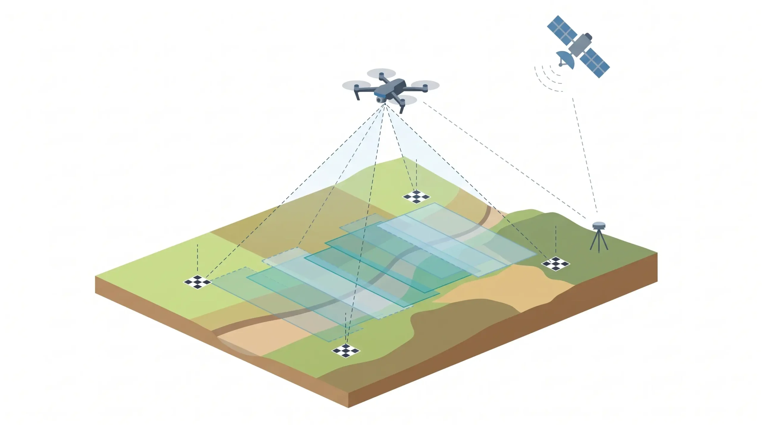
A drone aerial survey uses an unmanned aerial vehicle (UAV) fitted with a camera or LiDAR sensor to capture overlapping images or laser data of land from the air. The data is processed into georeferenced outputs such as orthomosaic maps, elevation models, contours, 3D models and volume reports. It is faster and safer than manual […]

Call Now
+91 9871880058
Email
info@surveyingindia.in
Address
144, Netaji Subhash Enclave, Sector 72A, Gurugram, HR-122101