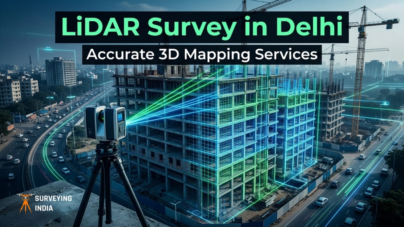
LiDAR Survey in Delhi: 3D Mapping Services for Construction & Infrastructure Consider a scenario where a metro rail corridor is already under construction, only for the engineering team to uncover that the foundational survey data is misaligned by several meters. What follows is inevitable—costly rework, cascading delays, and escalating budgets. It’s a disruptive and expensive […]
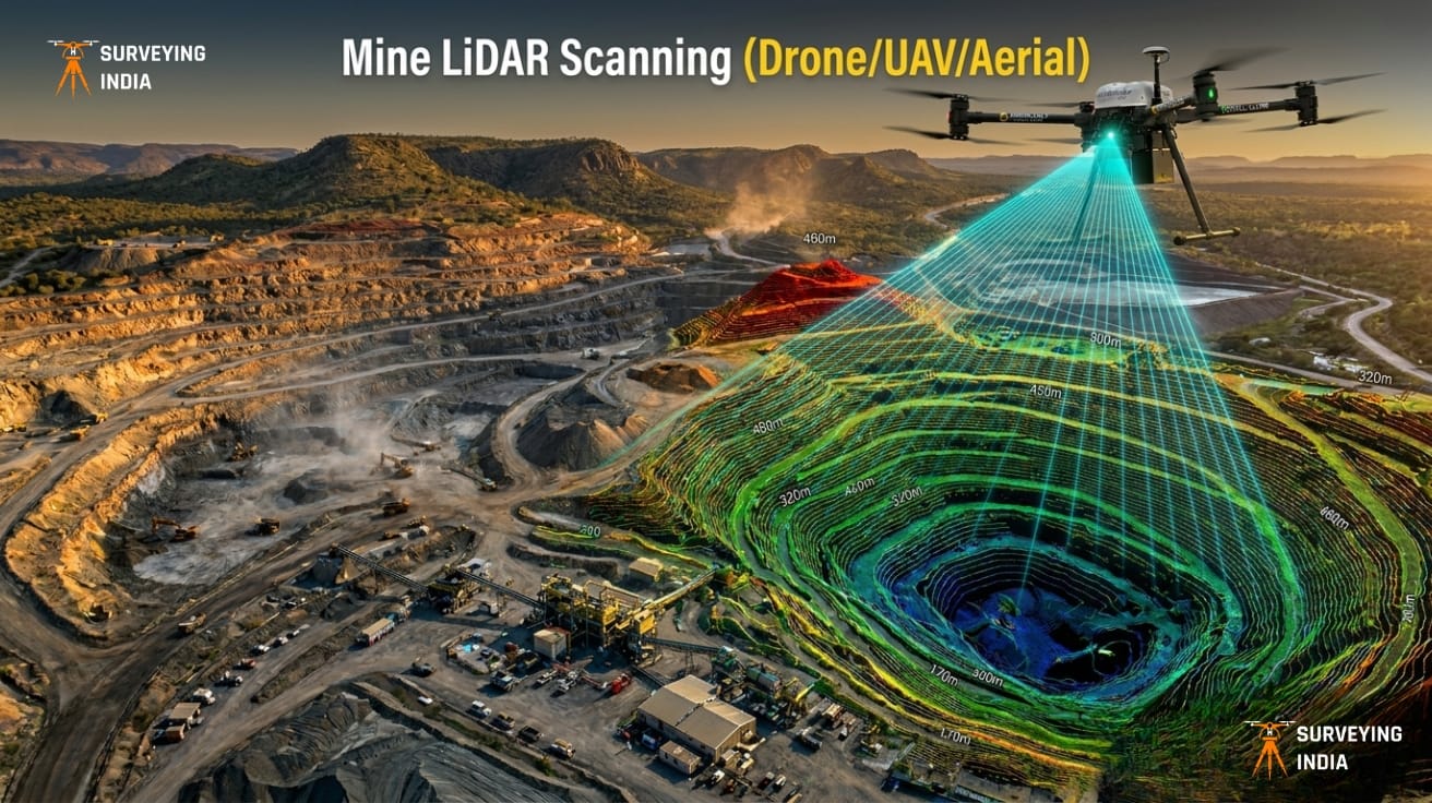
Mine LiDAR Scanning (Drone/UAV/Aerial)
Mining Drone Survey & LiDAR Scanning Services in India Surveying India provides professional mining drone survey and LiDAR scanning services across India for open-cast mines, coal mines, limestone quarries, metal mining operations, and mineral exploration projects. Our UAV-based LiDAR surveys deliver centimetre-level accuracy for mine planning, stockpile volume measurement, progress monitoring, and environmental compliance — […]