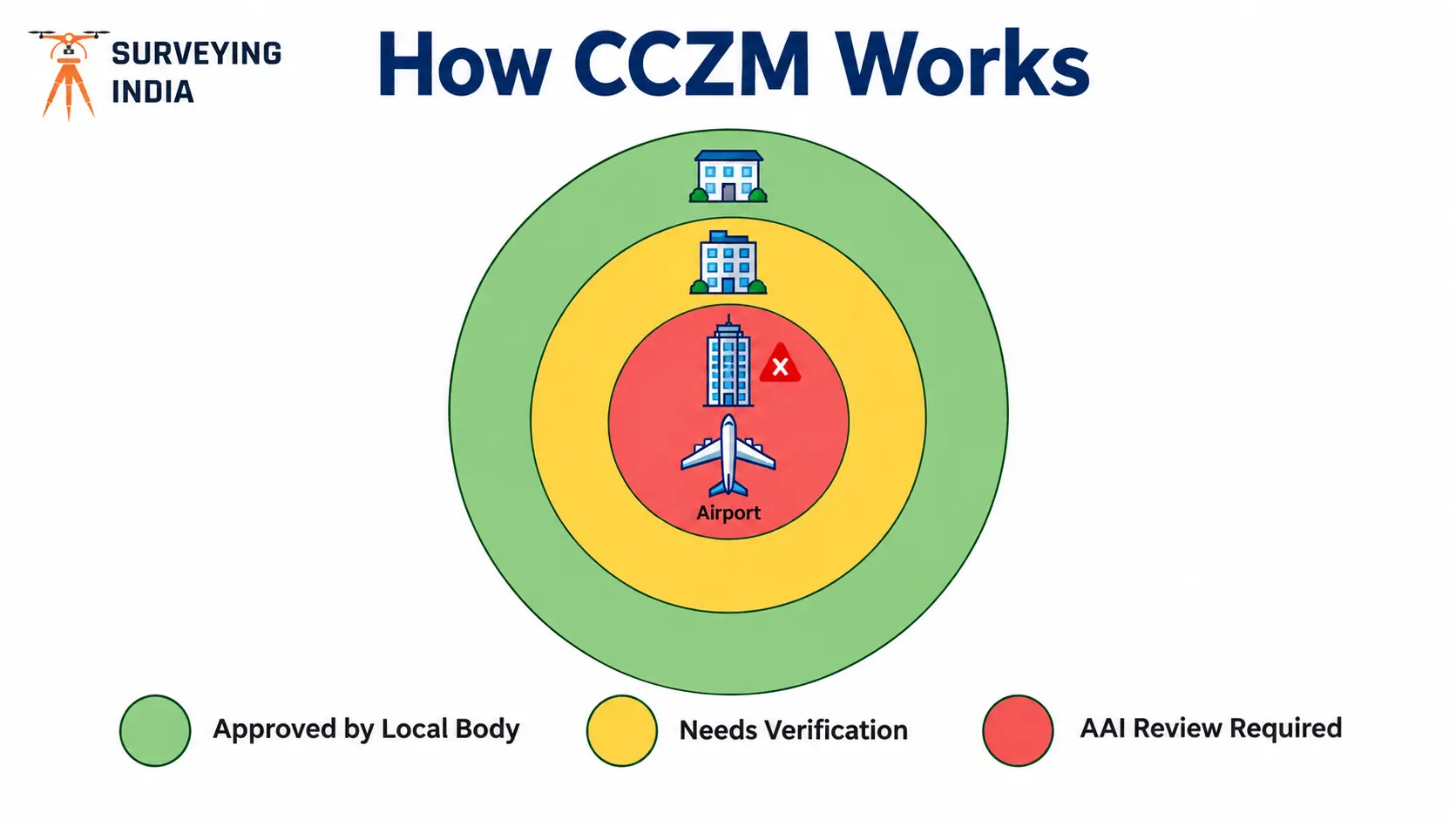
Ever wondered why some buildings near an airport get approved by the local municipal office in days, while others wait months for AAI’s sign-off? The colour coded zoning map AAI system is usually the answer. The colour coded zoning map AAI publishes is a grid-based map that shows the Permissible Top Elevation (PTE) for every […]

Call Now
+91 9871880058
Email
info@surveyingindia.in
Address
144, Netaji Subhash Enclave, Sector 72A, Gurugram, HR-122101