
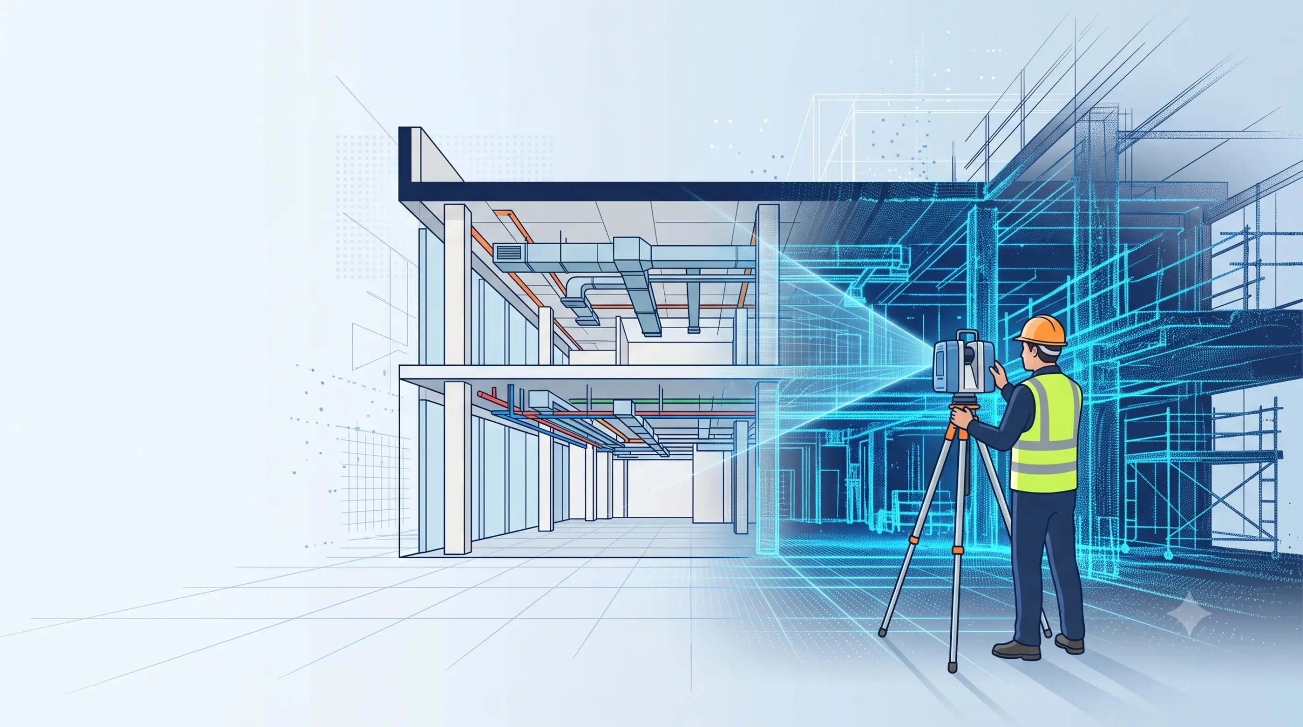
Scan to BIM survey cost in India depends mainly on the built-up area, the Level of Development (LOD), the disciplines modelled (architecture, structure, MEP) and site access. The total is always two parts added together: scanning (field capture) and BIM modelling (office work). Modelling is usually the larger share, and a higher LOD or heavy […]
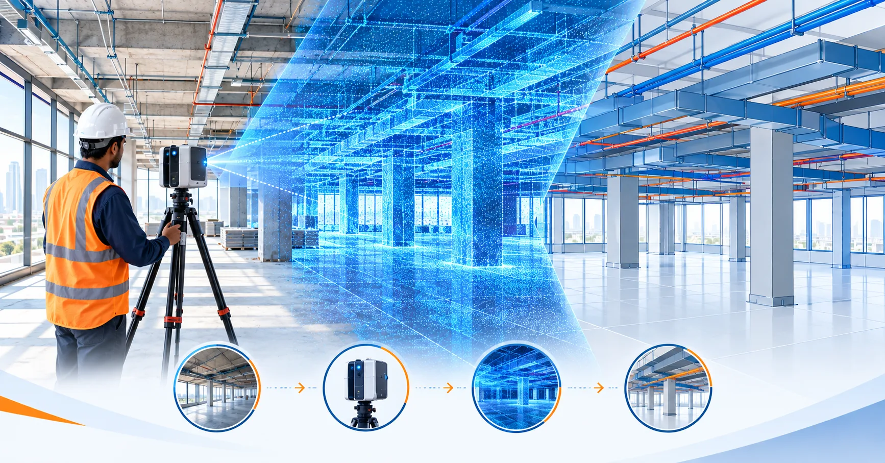
What is Scan to BIM Survey? Process, Equipment & Applications Explained
A Scan to BIM survey is a process where a 3D laser scanner captures an existing building or site as a dense point cloud, and the data is then converted into an intelligent, editable 3D BIM model (usually in Revit). It gives architects, engineers and facility managers accurate as-built drawings without repeated manual site measurements. […]
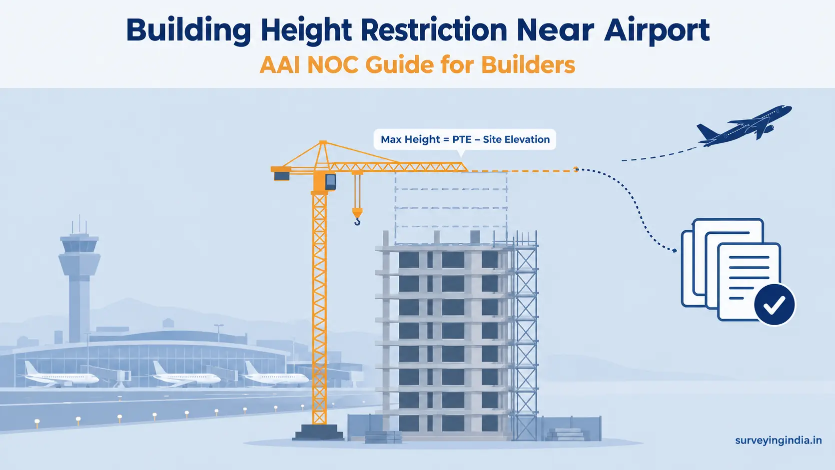
Building Height Restriction Near Airport: A Builder’s Guide
A building height restriction near airport applies to any site within 20 km of a VFR airport or 56 km of an IFR airport, measured from the Aerodrome Reference Point (ARP). Your maximum height is the Permissible Top Elevation (PTE) set by AAI minus your site’s ground elevation. You need an AAI NOC before construction […]