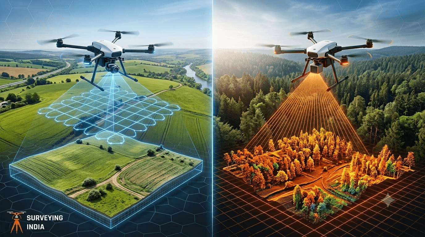
Photogrammetry vs LiDAR: What’s the Difference & Which Does Your Project Need? Every survey project starts with one question: how do we capture the site accurately? Two technologies dominate this decision today — photogrammetry and LiDAR survey. Both create 3D maps of land, buildings, and infrastructure, but they work in very different ways and suit […]
Explore LiDAR scanning services in India for accurate 3D mapping, terrain modeling, infrastructure planning and high-precision geospatial data solutions.
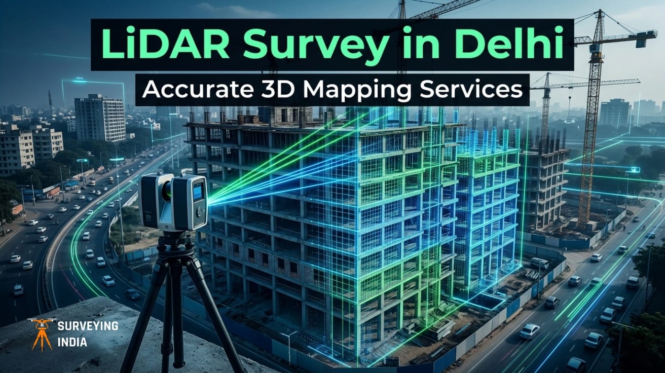
Best LiDAR Scanning and LiDAR Mapping Services in Delhi | Survey & 3D Data Solutions with unmatched precision
LiDAR Survey in Delhi: 3D Mapping Services for Construction & Infrastructure Consider a scenario where a metro rail corridor is already under construction, only for the engineering team to uncover that the foundational survey data is misaligned by several meters. What follows is inevitable—costly rework, cascading delays, and escalating budgets. It’s a disruptive and expensive […]
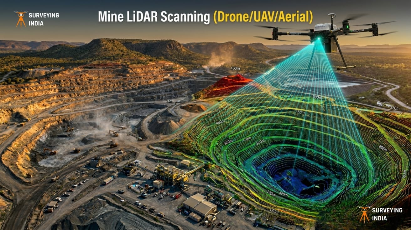
Mine LiDAR Scanning (Drone/UAV/Aerial)
Mining Drone Survey & LiDAR Scanning Services in India Surveying India provides professional mining drone survey and LiDAR scanning services across India for open-cast mines, coal mines, limestone quarries, metal mining operations, and mineral exploration projects. Our UAV-based LiDAR surveys deliver centimetre-level accuracy for mine planning, stockpile volume measurement, progress monitoring, and environmental compliance — […]

Comprehensive 3D Scanning & Point Cloud Services for BIM
Scan to BIM Services India — 3D Scanning & Point Cloud Solutions Surveying India provides professional scan to BIM services and 3D scanning point cloud solutions across India for construction, architecture, infrastructure, heritage preservation, and industrial facility projects. With 800+ successfully delivered survey and scanning projects, our team converts real-world structures into highly accurate, software-ready […]