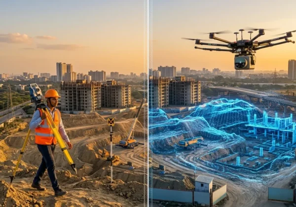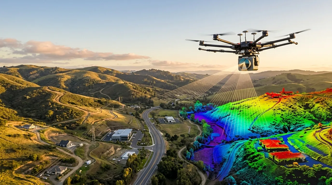
A LiDAR survey (Light Detection and Ranging) is a remote sensing method that fires millions of laser pulses at the ground and structures, measures how long each pulse takes to return, and builds an accurate 3D point cloud of the surface. At Surveying India, our LiDAR survey services turn that data into terrain models, contour maps and 3D site models for projects across India, including LiDAR survey in Mumbai and Bengaluru.
LiDAR Survey at a Glance
- What it is: A laser-based method that measures distances to build a dense, accurate 3D point cloud.
- How it works: A laser, a scanner and a GNSS/IMU positioning system record the time each pulse takes to return.
- Main types: Airborne, drone (UAV), mobile, terrestrial and bathymetric LiDAR.
- Typical outputs: Point cloud, DEM/DTM/DSM, contours, cross-sections and 3D models.
- Best for: Topographic mapping, corridors, power lines, mining, urban planning, flood studies and construction.
- Key strength: Fast, safe capture of large or hard-to-reach areas, with measurable accuracy.
- Cost drivers: Area, terrain, point density, accuracy needed, platform and deliverables.
What is a LiDAR Survey?
LiDAR stands for Light Detection and Ranging. The US agency NOAA describes it as a remote sensing method used to examine the surface of the Earth. A LiDAR survey applies this technology to produce measured, georeferenced 3D data of land, buildings, roads, vegetation and infrastructure.
Unlike a photograph, every LiDAR point carries real coordinates (X, Y, Z). That is why the data can be used directly for engineering design, volume calculation, slope analysis and digital terrain models.
How Does a LiDAR Survey Work?
A LiDAR system has three main parts, as NOAA explains: a laser, a scanner and a specialised GPS receiver. The working principle is simple:
- The laser emits a rapid series of light pulses towards the ground or a structure.
- Each pulse reflects off a surface and returns to the sensor.
- The system measures the travel time and calculates distance (distance = speed of light x time / 2).
- GNSS and an inertial measurement unit (IMU) record the exact position and orientation of the sensor.
- Software combines all this into a georeferenced point cloud with millions of points.
A single pulse can return more than once, for example from the top of a tree and then from the ground below. This multiple-return ability is why LiDAR can map bare ground even under vegetation.
Types of LiDAR Survey
| Type | Platform | Best For |
|---|---|---|
| Airborne LiDAR | Aircraft or helicopter | Large-area topography, corridors, flood plains |
| Drone (UAV) LiDAR | Multirotor or fixed-wing drone | Mid-size sites, mines, roads, solar plants, power lines |
| Mobile LiDAR | Vehicle-mounted | Highways, railways, urban streets, asset inventory |
| Terrestrial LiDAR | Tripod-mounted scanner | Buildings, plants, bridges, high-accuracy detail |
| Bathymetric LiDAR | Aircraft with green laser | Shallow water, riverbeds, coastlines |
NOAA notes that topographic LiDAR typically uses a near-infrared laser to map land, while bathymetric LiDAR uses water-penetrating green light to measure seafloor and riverbed elevations.
The LiDAR Survey Process, Step by Step
1. Planning and Scoping
The team defines the area, required accuracy, point density, deliverables and coordinate system. Flight or scan paths are planned, and permissions are arranged where needed, such as drone and airspace approvals.
2. Ground Control and Setup
Ground control points and base stations are established using GNSS or a total station. These anchor the LiDAR data to a known coordinate system and are essential for accuracy checks.
3. Data Acquisition
The LiDAR sensor is flown, driven or set up on site and collects data. Overlap, speed, altitude and scan angle are controlled to achieve the required point density.
4. Processing and Georeferencing
Raw data is combined with GNSS and IMU records, strips are adjusted against each other and the point cloud is aligned to the control network.
5. Classification and Filtering
Points are classified as ground, vegetation, buildings, wires, water and noise. Accurate ground classification is the foundation of a good terrain model.
6. Product Generation
Classified data is turned into the requested outputs: DTM, DSM, contours, cross-sections, volumes, orthophotos or 3D models.
7. Quality Control and Delivery
Results are checked against independent control points, and an accuracy report is prepared. Final files are delivered in the agreed formats.
Equipment Used in a LiDAR Survey
- LiDAR sensor: The laser and scanner that capture the points.
- GNSS receiver and IMU: Provide position and orientation of the sensor.
- Platform: Aircraft, drone, vehicle or tripod.
- Base station and control points: Improve absolute accuracy.
- Camera (optional): Adds colour to the point cloud and produces orthophotos.
- Software: For trajectory processing, classification and surface modelling.
Leading manufacturers such as Leica Geosystems publish detailed specifications for their LiDAR and scanning systems.
LiDAR Survey Deliverables
- Point cloud: Usually in LAS or LAZ format. The LAS standard is maintained by ASPRS.
- DTM (bare earth) and DSM (surface with objects): Raster elevation models.
- Contour maps: At the interval your design needs.
- Cross-sections and profiles: For roads, canals and pipelines.
- Volume reports: For stockpiles, cut and fill.
- Feature extraction: Buildings, poles, wires, road edges.
- 3D models: For planning and visualisation. See our guide to Scan to BIM when a detailed building model is needed.
Applications of LiDAR Survey
- Topographic mapping: Accurate ground surface for design and planning.
- Highways, railways and metro corridors: Fast corridor mapping with cross-sections.
- Power transmission lines: Wire sag, tower position and vegetation clearance.
- Mining and quarries: Stockpile volumes and pit progress.
- Urban and smart city planning: 3D city models and building footprints.
- Flood and drainage studies: Detailed terrain for hydrological modelling.
- Construction monitoring: Progress checks and earthwork volumes.
- Forestry and agriculture: Canopy height and land analysis.
- Solar and infrastructure projects: Site grading and layout planning.
The USGS also uses LiDAR through its 3D Elevation Program to produce high-quality elevation data for hazard, water and infrastructure applications.
LiDAR vs Photogrammetry vs Traditional Survey
| Factor | LiDAR | Photogrammetry | Traditional (Total Station / GNSS) |
|---|---|---|---|
| Data density | Very high, millions of points | High, depends on image overlap | Low, selected points only |
| Under vegetation | Can capture ground through gaps | Cannot see the ground under canopy | Possible but slow |
| Lighting dependence | Works in low light | Needs good daylight | Not affected |
| Large area speed | Fast | Fast | Slow |
| Output | 3D point cloud, terrain, models | Orthophoto, textured models | Points, 2D plans |
| Cost | Higher than photogrammetry | Moderate | Low for small areas |
For a similar comparison on building-level work, read Scan to BIM survey vs traditional survey methods.
Benefits and Limitations of LiDAR Survey
Benefits
- High accuracy and very dense data
- Fast coverage of large and hard-to-reach areas
- Penetrates vegetation gaps to find the ground
- Safer, with fewer people needed on hazardous sites
- Reusable data for design, monitoring and analysis
Limitations to know
- Higher cost than basic methods for small areas
- Heavy rain, dense fog and very dark or wet surfaces can reduce data quality
- Large files need strong processing hardware and skilled operators
- Drone operations need permissions and compliance with local rules
What Affects LiDAR Survey Cost?
There is no single rate that fits every project. The main factors are:
- Survey area and shape: Larger and more remote areas need more field time and mobilisation.
- Terrain and vegetation: Dense forest or steep terrain needs careful planning and processing.
- Point density and accuracy: Higher density and tighter accuracy increase effort.
- Platform: Drone, airborne, mobile or terrestrial each has a different cost structure.
- Deliverables: Point cloud only costs less than classified data with contours, models and reports.
- Turnaround time and permissions: Urgent delivery or complex approvals add cost.
Always request a scope-based quotation and compare scope, accuracy and deliverables, not only the headline price.
How to Choose a LiDAR Survey Company
- Do they own or have access to proper LiDAR equipment and trained operators?
- Do they establish ground control and share an accuracy report?
- Can they classify point clouds and produce DTM, contours and cross-sections in-house?
- Do they follow local drone and airspace regulations?
- Can they show past projects similar to yours?
- Do they support your city with local mobilisation?
LiDAR Survey Services Across India
Surveying India offers LiDAR survey services in Mumbai, Pune, Delhi, Gurugram, Bengaluru, Hyderabad, Chennai, Kolkata and Ahmedabad.
For detailed building documentation, we also provide Scan to BIM services. Read our guides on what is Scan to BIM survey and Scan to BIM survey cost in India.
Frequently Asked Questions
What is a LiDAR survey in simple words?
A LiDAR survey uses laser pulses to measure distances and create an accurate 3D map of land, buildings and infrastructure. The result is a point cloud that can be turned into terrain models, contours and 3D models.
How accurate is a LiDAR survey?
Accuracy depends on the sensor, platform, flying height and ground control. Drone and terrestrial LiDAR can reach centimetre-level accuracy with good control, while airborne surveys cover larger areas at lower density.
What is the difference between LiDAR and photogrammetry?
LiDAR measures distance with laser pulses and can see the ground through vegetation gaps. Photogrammetry builds 3D data from overlapping photos and needs good light and a visible surface.
What is a LiDAR survey used for?
Common uses include topographic mapping, road and rail corridors, power line inspection, mining volumes, flood modelling, urban planning and construction monitoring.
Can LiDAR see through trees?
LiDAR cannot pass through solid leaves, but pulses can travel through gaps in the canopy and reach the ground. Software then separates ground points from vegetation points.
What data formats do I receive from a LiDAR survey?
Typical formats are LAS or LAZ point clouds, GeoTIFF elevation models, DXF or DWG contours and PDF reports, depending on your project requirements.
How long does a LiDAR survey take?
Field capture can take hours to a few days, depending on area and platform. Processing and delivery depend on size, accuracy and deliverables, and range from days to a few weeks.
What is the difference between LiDAR survey and Scan to BIM?
LiDAR is the measurement technology. Scan to BIM is a workflow that uses laser scan data to produce an intelligent BIM model of a building. LiDAR surveys also deliver terrain and corridor data without BIM.
Do I need permission for a drone LiDAR survey in India?
Drone operations must follow Indian drone rules and airspace restrictions. A professional provider handles approvals and compliance before the flight.
Conclusion
A LiDAR survey replaces estimation with measured 3D data. It captures large or difficult areas quickly and safely, and the point cloud can be reused for design, monitoring and analysis. The best results come from clear scope, correct ground control and a provider that combines field capture with strong data processing.
Planning a project? Explore our complete LiDAR survey services or reach out for a scope-based quotation.