
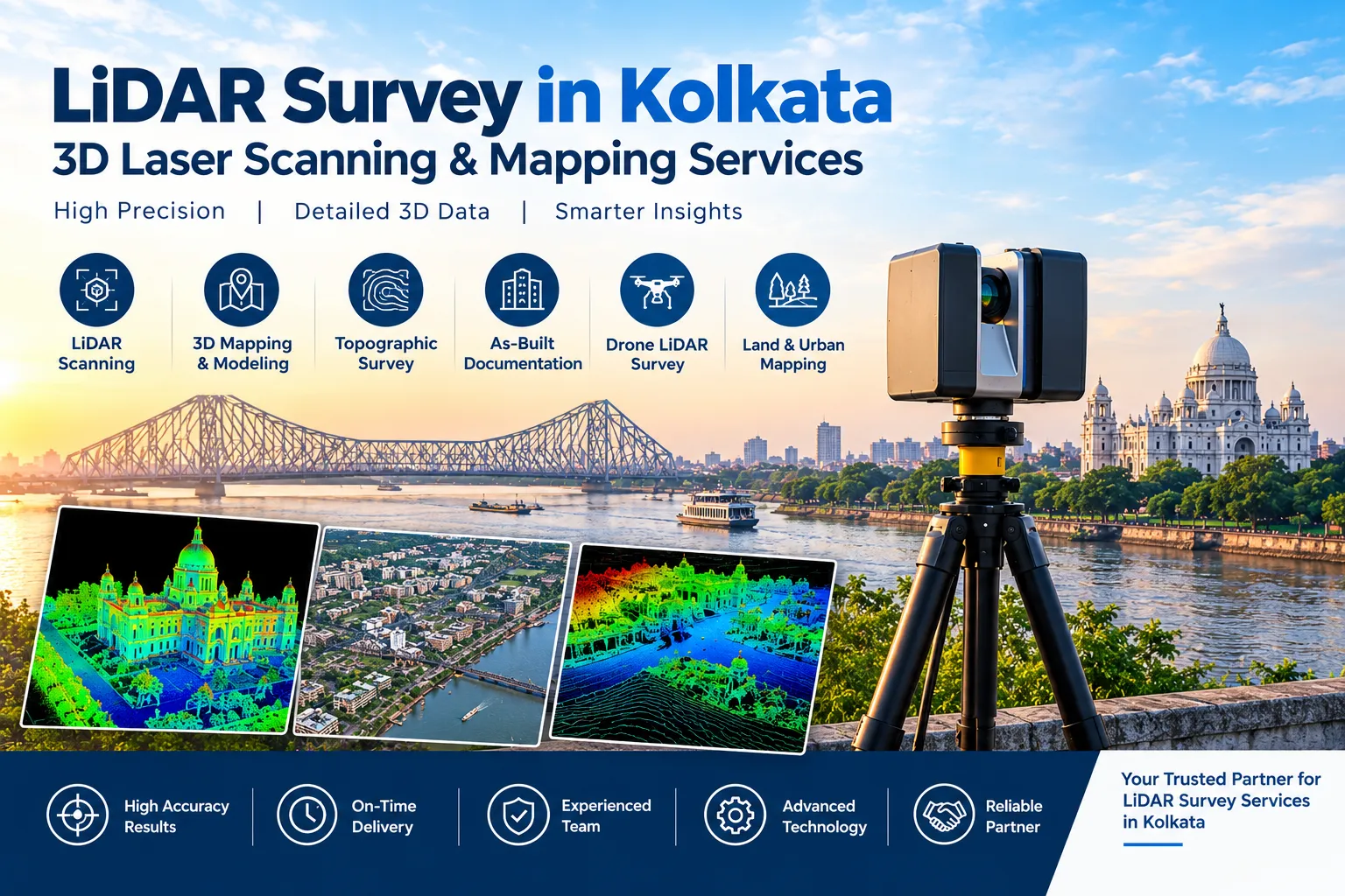
Kolkata has a wetland that most big cities would envy and struggle to protect. The East Kolkata Wetlands cover about 12,500 hectares, became a Ramsar site in 2002, and host the world’s largest sewage-fed aquaculture system. Yet when a Ramsar official visited, one of the first recommendations was to review the site’s map and the land-use changes since 2002.
That recommendation points to the real gap: accurate, current elevation data. This page explains what a LiDAR survey in Kolkata delivers, how it can reveal filled land and hidden structures, and where else it helps in a flat, low-lying delta city.
Why the East Kolkata Wetlands Need Survey-Grade Elevation Data
The wetlands have legal protection at several levels. The Calcutta High Court’s 1992 ruling set the foundation, and the East Kolkata Wetlands (Conservation and Management) Act, 2006 followed. Under the Act, no one may change the use of, fill up, or alter the character of any water body or low-lying land in the notified area without prior sanction from the East Kolkata Wetlands Management Authority (EKWMA). The Authority is also responsible for defining the boundaries and preventing encroachment.
Protection on paper has not ended the pressure. A published study of EKWMA’s litigation found 357 FIRs lodged between July 2007 and December 2021. About 95% concerned building construction (31%), unauthorised construction (24%), boundary walls (21%), and filling of water bodies (19%).
Other surveys tell the same story. A survey by a local group found that water cover in Bhagabanpur mouza fell from 88% in 2002 to 19% in 2016. As the Hindustan Times reported in 2017, activists found no reliable data to work from and decided to run the survey themselves.
How LiDAR Detects Filled Land
Filling a wetland raises the ground. That single physical fact is what makes LiDAR so useful here.
A LiDAR survey measures ground height across a whole area. After processing, it produces a bare-earth elevation model that strips away vegetation, water hyacinth, and tree cover. As a result, raised platforms, new embankments, and boundary walls stand out against the surrounding low land and water.
Repeat surveys add a time dimension. Comparing two datasets from different dates shows exactly where ground levels changed, and by how much. That evidence helps landowners, authorities, and courts discuss the same facts.
One limit is worth stating plainly. LiDAR does not replace the notified wetland boundary. Instead, it measures what exists on the ground so you can compare it against that boundary.
Beyond the Wetlands: Flat Terrain, Growth Corridors, and Metro
Kolkata sits on a low, flat delta, so small differences in ground level can decide where water flows. Centimetre-level elevation data therefore supports drainage planning, site grading, and flood-risk checks for new developments.
Growth corridors add to the demand. Peri-urban areas such as Rajarhat-New Town sit close to the wetlands and are often named as pressure points for land conversion, so projects there benefit from an elevation check before design starts.
Metro and infrastructure corridors need the same kind of capture. MMRDA has used aerial survey for Mumbai Metro alignments, a method we describe in our LiDAR survey in Mumbai. In central Kolkata, where underground work runs beside very old buildings, a LiDAR corridor survey pairs well with the facade baselines we explain in our Scan to BIM survey in Kolkata.
Aerial vs Terrestrial LiDAR: Which Does Your Kolkata Project Need?
Aerial LiDAR, flown by drone, suits wetland edges, fish-pond embankments, large plots, and corridor surveys. It covers wide areas quickly and captures ground levels even where canopy or aquatic vegetation hides the surface.
Terrestrial and mobile LiDAR suits individual structures, narrow lanes, and dense built-up areas where drones cannot fly safely or where finer detail matters. It records facades, boundary walls, and building footprints at high point density.
Many Kolkata projects need both. A wetland-edge plot, for example, may need aerial capture of the surrounding land and a terrestrial scan of an existing structure.
How a LiDAR Survey Works
- Project briefing and scope definition — We confirm the area, required point density, and deliverable format, and we flag early whether wetland boundary or land-filling checks are part of the goal.
- Flight or ground planning — For aerial work, we plan flight lines over the site and its surroundings; for terrestrial work, we plan scan positions that cover tight or built-up areas without gaps.
- Data capture — Our in-house equipment records dense point cloud data across the survey area.
- Point cloud processing and classification — We classify the data into ground, water, vegetation, and structures, and produce a bare-earth elevation model. For repeat surveys, we also run change detection between dates.
- Deliverable generation — You receive elevation models, contour and topographic maps, change maps, or BIM-ready point clouds in your required format.
Applications of LiDAR Survey in Kolkata
- Wetland-edge boundary and land-filling checks for plots near the East Kolkata Wetlands, supporting due diligence before purchase or development
- Topographic and contour surveys for large plots and townships, including Rajarhat-New Town and the eastern fringe
- Drainage and grading studies on flat terrain, where small level differences matter
- Corridor mapping for Metro, road, and utility alignments
- Redevelopment and as-built documentation for old buildings, feeding into our Scan to BIM work
- Construction progress monitoring across multi-phase developments
Choosing the Right Point Density
Point density, measured in points per square metre, should match the question you are asking. A broad wetland-edge or township survey can use a lower density, since the goal is overall terrain shape and level changes. A facade or structure scan needs a much higher density to capture edges and fine detail.
Scoping this correctly at the briefing stage avoids two common problems. You do not pay for far more density than you need, and you do not discover later that the data is too sparse for its purpose.
How Long Does a LiDAR Survey Take?
A terrestrial scan of a single building or small plot typically wraps up data capture within a day, and processed deliverables follow within about a week to ten days. A larger aerial survey takes longer for both planning and processing, often two to four weeks depending on area and density.
Weather and access also affect scheduling. Monsoon conditions and standing water can limit field work, so we plan realistic windows with you from the start.
Why an In-House Team Matters
Kolkata projects often combine wetland-edge terrain with built structures in a single engagement. That is hard to manage across several vendors. Because our team handles aerial and terrestrial LiDAR in-house, from flight planning through classification and deliverables, you get one point of contact for the whole scope.
Useful Resources for Kolkata Landowners
These independent sources explain the wetlands, the law, and the methods this page refers to, so you can check them yourself.
- East Calcutta Wetlands (Wikipedia) — Background on the site, its sewage-fed aquaculture, the 1992 judgment, and the 2006 Act.
- East Kolkata Wetlands and Provisions for Conversion of Land — A Kolkata property lawyer’s plain-language summary of the 2006 Act, the sanction process, and recent tribunal directions.
- Study: the role of the East Kolkata Wetland in disaster risk reduction (ScienceDirect) — The published analysis of EKWMA’s encroachment cases behind the figures above.
- Hindustan Times: The battle to save Kolkata’s wetlands — Reporting on shrinking water cover and the survey gap.
- Review map of East Kolkata Wetlands, says Ramsar report — Coverage of the Ramsar official’s recommendations.
- ASPRS LiDAR Guidelines and Standards — The accuracy standards that govern LiDAR data quality.
- National Green Tribunal — The tribunal that hears environmental disputes, including wetland cases.
Why Get Your LiDAR Survey Done by Surveying India
We bring over 10 years of combined team experience delivering high-accuracy LiDAR, DGPS, drone, and airport NOC survey data across India. Our in-house equipment covers both aerial and terrestrial LiDAR, and we prepare elevation data to the precision that boundary and land-level questions genuinely require.
Our other city teams face related problems. Chennai’s Pallikaranai wetland freeze and Hyderabad’s lake boundary verification both turn on precise elevation, while Bengaluru’s lake and drain encroachment shows why reliable boundary data matters. Pune’s river corridor mapping follows a similar approach. Our head office team also delivers LiDAR survey in Gurugram and Delhi NCR.
Planning a project anywhere in Kolkata? Share your site location, whether it sits near the East Kolkata Wetlands, and your intended use. We’ll recommend whether aerial LiDAR, terrestrial LiDAR, or a combination fits best.
Frequently Asked Questions
Why does Kolkata need LiDAR survey for the East Kolkata Wetlands?
The wetlands cover about 12,500 hectares and face steady pressure from construction and land filling. A Ramsar official recommended reviewing the site’s map and land-use changes since 2002, and accurate elevation data is what makes that review possible.
Can LiDAR show whether land has been filled?
Yes. Filling raises the ground, and a LiDAR bare-earth model shows those raised areas against the surrounding low land and water. Comparing surveys from two dates shows where levels changed and by how much.
Does LiDAR replace the official wetland boundary?
No. The notified boundary remains the legal reference. LiDAR measures what exists on the ground, so you can compare it against that boundary.
What law protects the East Kolkata Wetlands?
The Calcutta High Court’s 1992 ruling, the Ramsar listing of 2002, and the East Kolkata Wetlands (Conservation and Management) Act, 2006. The Act requires prior sanction from EKWMA to fill up or alter the character of any water body or low-lying land in the notified area.
What is the difference between aerial and terrestrial LiDAR for a Kolkata project?
Aerial LiDAR covers large areas like wetland edges and corridors quickly. Terrestrial and mobile LiDAR delivers higher point density for individual structures and dense lanes, where detail matters more than coverage.
Do you handle permits for aerial LiDAR or drone survey work in Kolkata?
Yes, permit applications and flight clearances are managed as part of the engagement for any aerial or drone-based LiDAR survey work.
Reference: Legal and encroachment details come from the sources linked above, including the ScienceDirect study of EKWMA litigation, the Hindustan Times report, and the Ramsar report coverage. Always confirm the notified boundary and any sanction requirements with the East Kolkata Wetlands Management Authority before finalising a project.