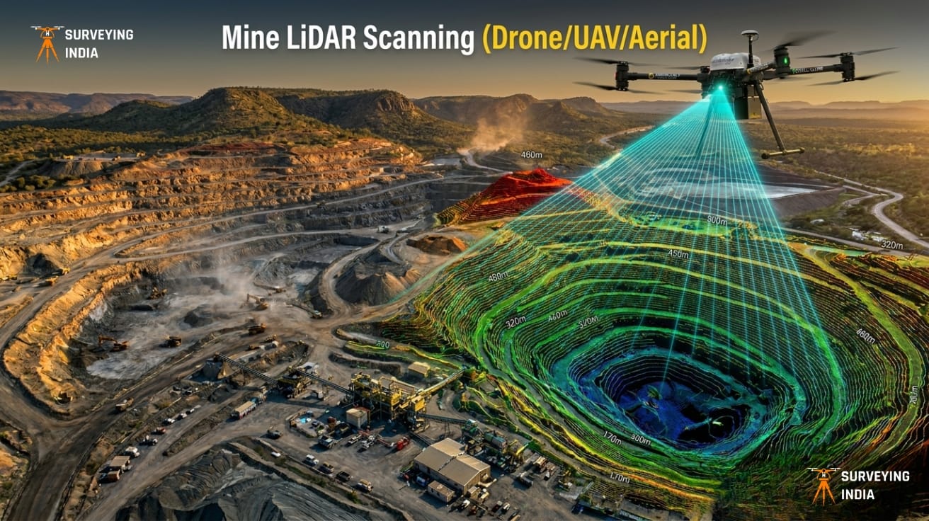
Mining Drone Survey & LiDAR Scanning Services in India Surveying India provides professional mining drone survey and LiDAR scanning services across India for open-cast mines, coal mines, limestone quarries, metal mining operations, and mineral exploration projects. Our UAV-based LiDAR surveys deliver centimetre-level accuracy for mine planning, stockpile volume measurement, progress monitoring, and environmental compliance — […]

Comprehensive 3D Scanning & Point Cloud Services for BIM
Scan to BIM Services India — 3D Scanning & Point Cloud Solutions Surveying India provides professional scan to BIM services and 3D scanning point cloud solutions across India for construction, architecture, infrastructure, heritage preservation, and industrial facility projects. With 800+ successfully delivered survey and scanning projects, our team converts real-world structures into highly accurate, software-ready […]

Best UAV Drone Survey Company in Delhi NCR
UAV Drone Survey Services in Delhi NCR — Aerial Mapping & LiDAR Solutions Surveying India is a DGCA-certified UAV drone survey company in Delhi NCR. We have 100+ satisfied clients and active operations across 25+ states in India. We provide professional aerial mapping, LiDAR scanning, topographic surveys, construction monitoring, and volumetric analysis. We serve construction […]
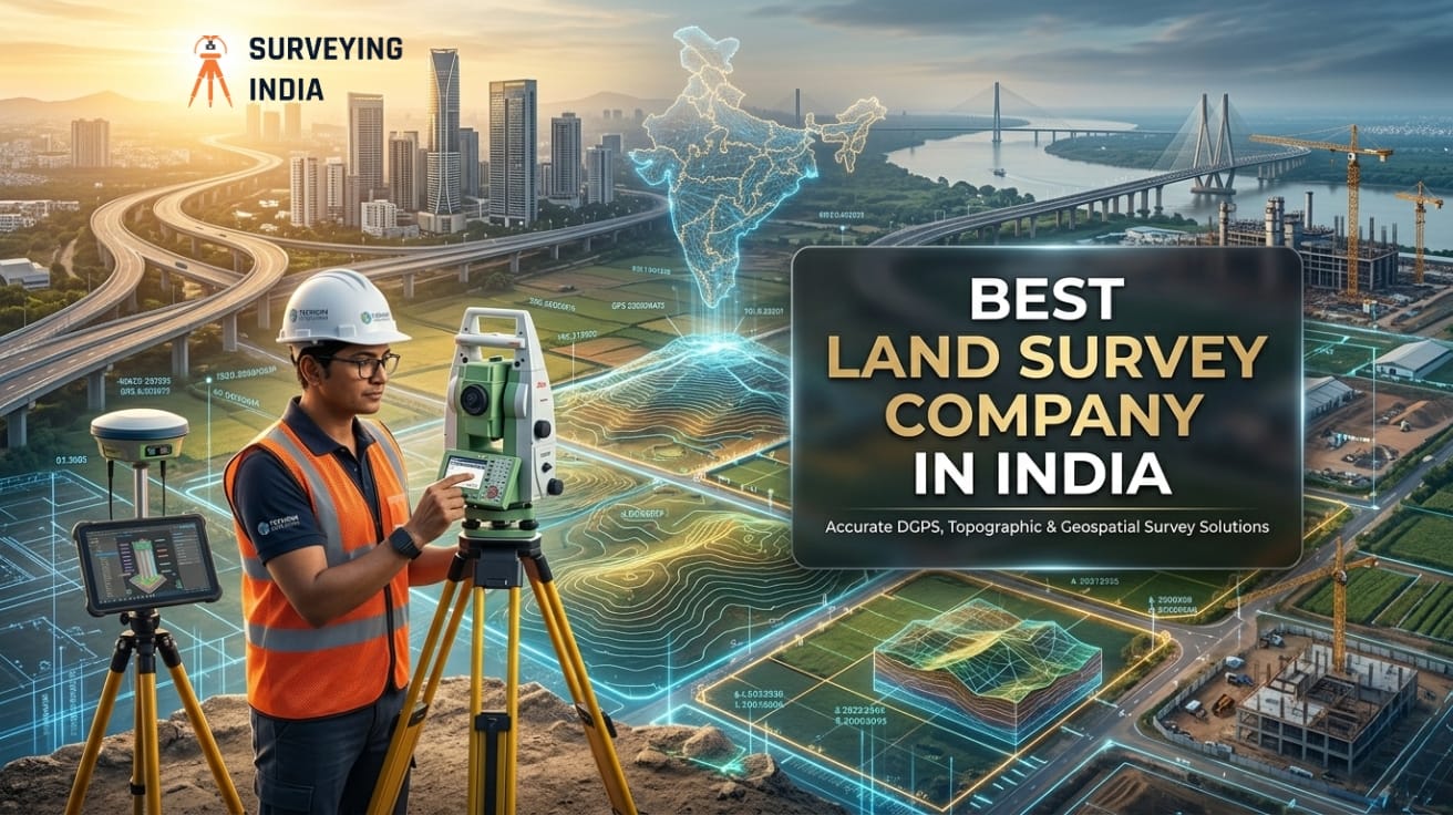
Best Land Survey Company in India
Surveying India is India’s best land survey company. We provide LiDAR, drone, DGPS, and cadastral survey services across India. Based in Gurugram, Haryana, we serve real estate developers, infrastructure agencies, mining companies, and government bodies — with centimetre-level accuracy on every project. 📍 Gurugram, Haryana | 📞 +91 9871880058 | 🌐 surveyingindia.in What Is a […]