
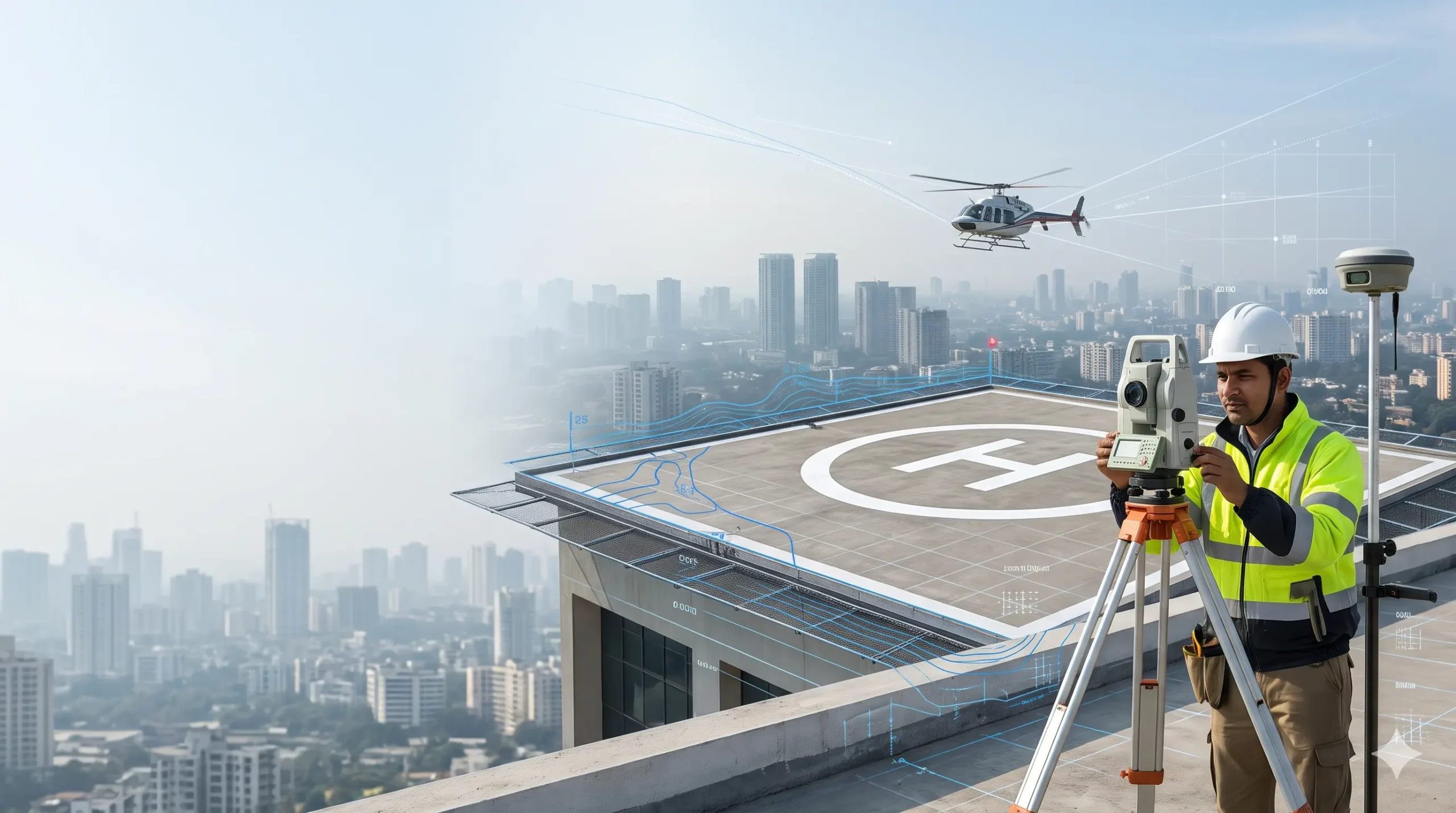
A helipad NOC survey collects the measured data that DGCA, AAI and other authorities typically ask for before a helipad is cleared: site coordinates, ground elevation and the obstacles around the approach and take-off paths. It is one part of our wider airport NOC survey work, and which approvals apply depends on the type of helipad.
In India there is no single ‘helipad NOC’. What you need depends on whether the helipad is temporary, in regular use on the ground, or a licensed heliport, including any on a rooftop. This page sorts those cases using DGCA’s Civil Aviation Requirements, the Ministry of Civil Aviation’s helicopter guidance and AAI’s rules. It shows the survey data each route usually needs and says plainly where you must check with the authority. It sits alongside our guides to AAI NOC for height clearance and defence NOC in India. Sources were last checked in November 2026.
Short answer: which route applies to your helipad?
| Helipad type | Main rule | Who you deal with | Survey data usually needed |
|---|---|---|---|
| Temporary ground site: the same operator uses it for no more than 7 days in any 30 | DGCA CAR Section 4 Series B Part II (2005) | The site owner’s permission, advance intimation to the district administration, and DGCA authorisation only for air taxi or sightseeing flights | Site layout, obstacle check along approach and take-off paths, GPS location |
| Regular-use ground site outside a licensed aerodrome | DGCA CAR Section 4 Series B Part V (2011) | The helicopter operator ensures the facilities; DGCA gets involved if a local authority asks for its NOC | Layout survey and obstacle survey of the approach and take-off surfaces |
| Licensed heliport, including elevated or rooftop heliports | Aircraft Rules and CAR Section 4 Series B Part III (Heliports) | A DGCA heliport licence or authorisation through eGCA, with NOC requests to the Home Ministry, Defence Ministry, Environment Ministry, AAI and the local administration | WGS-84 coordinates, elevation, obstacle survey and rooftop data |
What is a helipad NOC?
A helipad NOC is not one certificate. It is the set of clearances needed to build or use a helicopter landing area, and the set changes with the type of site. The Ministry of Civil Aviation uses ‘helicopter landing area’ and ‘helipad’ interchangeably for sites outside an aerodrome, while a ‘heliport’ is a licensed or approved area.
An AAI NOC is only one piece. It confirms that the height of a structure will not interfere with aircraft operations around an aerodrome, and AAI is also one of the bodies consulted when a heliport licence is sought. The licence or authorisation itself comes from DGCA. Our guide to what an AAI NOC is and who needs it covers the height-clearance side.
Which route applies? Four questions
- Is the helipad on a rooftop or other raised structure? DGCA’s temporary-site CAR says it does not apply to elevated heliports, such as those on top of buildings. Plan on the heliport licence route and confirm the checklist on eGCA.
- Will one operator use the ground site for no more than 7 days in any 30 days? Then it is a temporary landing area under CAR Part II. Events, charters and VIP visits usually fall here.
- Will helicopters carry passengers or cargo for hire there on a regular basis? Then the regular-use CAR (Part V) lays down the minimum facilities, and licensing can apply under Rule 78 of the Aircraft Rules, 1937 for a series of landings for hire or reward.
- Is the site near an airport, an airfield or a defence establishment? Height and defence clearances may apply in addition. See the sections below.
Route 1: Temporary helipads for events, charters and VIP visits
DGCA’s CAR Section 4 Series B Part II, issued on 21 December 2005, sets the minimum safety requirements for temporary helicopter landing areas outside an aerodrome. The Ministry of Civil Aviation’s guidance adds how permissions work on the ground.
- Who permits it: permission is needed from the owner of the site, and the district administration only needs to be informed in advance. The Ministry’s guidance calls the belief that district approval is required a common misunderstanding.
- Public or private land: on public land, the NOC of the government custodian of that area is needed. On private land, the owner’s consent is needed.
- How operators file: the Ministry’s HeliSewa portal is a single-window channel between helicopter operators and authorities for landing approvals. The system alerts the District Collector or Magistrate for action.
- Day only: the Ministry’s guidance says flights from helicopter landing areas are restricted to the day, taken as 20 minutes before sunrise to 20 minutes after sunset.
- Air taxi and sightseeing: the CAR requires prior operational authorisation from DGCA for these flights from such a site.
What the CAR says about the landing area
| Item | Minimum in CAR Part II |
|---|---|
| Touchdown and lift-off area (TLOF) | 2B × 2B, where B is the wheel base or side base of the helicopter, whichever is more |
| Final approach and take-off area (FATO) | 1.5A × 1.5A, where A is the maximum overall length of the helicopter, free of obstructions |
| Safety area | At least 10 m wide around the landing area, with no obstacle higher than 1 m |
| Approach and take-off climb surface | An inclined plane sloping up at 8% from the end of the safety area, for at least 245 m, diverging by 10% on each side |
| Visual aids | A white ‘H’ marking and a wind direction indicator |
| Fire and first aid | A 12 kg dry chemical powder extinguisher and a marked first aid box at the site |
Worked example (illustrative, using the CAR’s own Appendix II). A Bell 407 has an overall length A of 12.74 m, and an under-carriage 3.01 m long and 2.28 m wide, so B is 3.01 m. The minimum TLOF is 6.02 m × 6.02 m and the minimum FATO is 19.11 m × 19.11 m. The 8% surface rises about 19.6 m over its 245 m length, so a tree, wire or tower that pierces it inside the corridor is an obstacle. The Ministry’s guidance suggests an open area of about 30 m × 30 m to 35 m × 35 m for small and medium helicopters.
Read the CAR itself: DGCA CAR Section 4 Series B Part II. It is dated 2005, so check DGCA’s website for any later version.
Route 2: Regular-use ground helipads outside a licensed aerodrome
CAR Section 4 Series B Part V, issued on 4 August 2011, covers surface-level landing areas used on a regular basis by helicopters carrying passengers or cargo for hire, in day VFR conditions, outside a licensed aerodrome or heliport. Operators of private regular-use sites may follow it as well. In summary:
- Facilities: a FATO, a TLOF, a safety area, a wind direction indicator, an ‘H’ marking and FATO marking, and rescue and firefighting cover based on the heliport fire category.
- Obstacle surface: at least one approach and take-off climb surface sloping up at 8% for at least 245 m, with 10% divergence.
- Site protection: fencing or cordoning to keep out people, vehicles and animals, and crowd control where needed.
- Paperwork: a standard operating procedure approved by DGCA’s helicopter division, including an emergency response plan.
- DGCA’s role: the operator may start operations without prior DGCA approval after ensuring the requirements are met. If a local authority wants a DGCA NOC, the operator submits a compliance report. DGCA may inspect.
Route 3: Rooftop, hospital, hotel and licensed heliports
DGCA grants heliport licences or operational authorisations for surface-level heliports and for elevated or rooftop heliports, in line with the Aircraft Rules and the relevant CARs. Applicants apply online on the eGCA portal. Since May 2023, requests for NOCs from five bodies can be routed through a single tab on eGCA instead of being filed one by one: the Ministry of Home Affairs, the Ministry of Defence, the Ministry of Environment, Forest and Climate Change, the Airports Authority of India and the local administration. The change was reported in DGCA’s single-window announcement of 30 May 2023.
Two things to watch:
- The standard is being updated. DGCA issued a draft amendment to CAR Section 4 Series B Part III (Heliports) on 4 October 2025. Check the final text before you design.
- Site choice matters early. A 2019 Hindustan Times report on the AIIMS Trauma Centre in Delhi said DGCA’s site inspection led to the rooftop helipad being moved to a different building, and that DGCA had pointed to gaps such as the project report, all NOCs and operating procedures. Settling the site and the obstacle picture before design freeze avoids that kind of rework.
We found no published timeline or fee for a heliport licence, so we do not quote one.
Where AAI and defence clearances fit in
AAI. If your helipad structure or the building under it lies within an aerodrome’s safeguarding zone, an AAI height NOC may also apply. Check the colour coded zoning map (CCZM) and our AAI NOC required checklist. An AAI NOC is valid for 8 years, and our guide to AAI NOC validity and revalidation explains the one-time revalidation and the 12-year ceiling. If you later add a floor, a rooftop structure or other height, read height modification of an existing AAI NOC before building.
Defence. The Ministry of Defence is one of the five bodies in the heliport licence process, so check early whether your site is near a military airfield or defence establishment. Start with our overview of defence NOC in India, then the defence IAF height clearance NOC guide, the defence NOC vs AAI NOC comparison and the defence or AAI NOC flowchart. For sites near Army land, see the NOC from the Local Military Authority and Army and cantonment construction NOC pages.
What a helipad survey covers
| Survey item | Why it is needed | How we capture it |
|---|---|---|
| Site coordinates | AAI asks for WGS-84 coordinates in DD MM SS.s format, with position accuracy within 3 m | DGPS survey or RTK-GNSS; see our WGS-84 coordinates certificate for NOC |
| Ground and roof elevation | AAI asks for site elevation in metres AMSL (EGM-08) within 0.5 m. For a rooftop pad, the roof level and parapet matter | Total station survey; see the site elevation survey and AMSL elevation certificate |
| Layout of landing area | Positions of the TLOF, FATO and safety area corners, checked against the helicopter’s dimensions | Total station and DGPS, drawn to scale |
| Obstacle survey | Buildings, towers, trees, poles and wires inside the approach and take-off corridors, with position and top elevation, so they can be compared with the surface | Total station, LiDAR or drone aerial survey where access and permissions allow |
| Rooftop items | Lift machine rooms, water tanks and antennas that rise above the roof | Total station |
| Site suitability record | The Ministry’s assessment form asks for 360-degree photographs from the helipad centre, the GPS location, surface type, slope, fencing, ambulance and fire-truck access, water for wetting the pad and mobile signal | Field survey and photographs |
Survey accuracy matters here as much as in any NOC. Read why in RTK-GNSS vs traditional GPS survey accuracy. Power lines and masts are common obstacles near helipads, so see transmission line and tower AAI NOC and mobile tower airport NOC rules if either is nearby. For contour data of a larger site, our contour survey team can help.
Documents and information to keep ready
This is a typical list, not an official one. Use the checklist shown on eGCA or by your authority.
- Proof of ownership, or the owner’s consent, or the custodian’s NOC for public land.
- A site plan and, for a rooftop pad, the building drawings with roof levels.
- The helicopter types you plan to use, with their overall length and under-carriage dimensions.
- Intended use: private, charter, hospital or tourism.
- Coordinates and elevation certificates, and the obstacle survey.
- A standard operating procedure and emergency response plan where required.
- Any AAI, defence and local clearances already held.
For the AAI paperwork, see documents required for an airport height clearance NOC, NOCAS application documentation and the NOCAS portal application process.
Common mistakes
- Believing the district administration must approve a temporary helicopter landing. The Ministry says it only needs advance intimation, alongside the owner’s permission.
- Applying temporary-site rules to a rooftop pad. The temporary CAR excludes elevated heliports.
- Treating the AAI NOC as the whole approval. DGCA licenses the heliport.
- Using a phone or web-map location instead of a surveyed coordinate. See wrong coordinates NOC rejected and airport NOC rejection reasons.
- Missing wires, trees or a nearby tower in the approach corridor.
- Forgetting rooftop structures when working out heights.
- Starting construction before the required clearances are in place.
Where we fit
We do the survey part: coordinates, elevation, layout, obstacles and rooftop data, prepared in the format the authority asks for. We do not grant approvals. DGCA licenses heliports, AAI issues height NOCs for civil aerodromes, and the defence authorities and local administration decide their parts. We cannot guarantee an outcome or timeline. To find out what to survey for your site, talk to our survey team with your location, the type of helipad and the helicopter you plan to use. We work in Delhi NCR, Mumbai, Bengaluru and Pune. For other height-clearance cases, see our building height clearance AAI NOC guide and the GSR 751(E) airport NOC rules.
Frequently asked questions
Do I need an NOC to build a helipad in India?
Yes, in most cases you need one or more clearances, but not a single ‘helipad NOC’. A temporary ground site needs the owner’s permission and advance intimation to the district administration. A licensed heliport, including a rooftop pad, needs a DGCA licence or authorisation, with NOC requests to the Home, Defence and Environment ministries, AAI and the local administration.
Who gives helipad permission in India?
DGCA grants heliport licences and operational authorisations for surface-level and rooftop heliports through its eGCA portal. For temporary sites, the site owner permits use and the district administration is informed.
Does a temporary helipad need district administration approval?
No. The Ministry of Civil Aviation says permission is needed from the owner of the site and only intimation is given to the district administration. On public land, the custodian’s NOC is needed.
What is the minimum size of a temporary helipad?
DGCA’s temporary-site CAR requires a TLOF of at least 2B × 2B, a FATO of at least 1.5A × 1.5A, and a safety area at least 10 m wide, where A is the helicopter’s overall length and B its wheel or side base. Licensed and rooftop heliports follow the heliport CAR.
What survey is needed for a helipad NOC?
Typically WGS-84 coordinates, site elevation in metres AMSL, a layout of the landing area and an obstacle survey of the approach and take-off corridors. A rooftop pad also needs roof levels and rooftop structures. Confirm the exact format with the authority.
Is an AAI NOC required for a helipad?
AAI is one of five bodies from which clearance is sought during a heliport licence application. Separately, an AAI height NOC applies where the structure lies within an aerodrome’s safeguarding zone. Confirm which applies to your site.
How long is an AAI NOC valid?
AAI’s published guidelines give eight years from issue, with one-time revalidation if construction has started and a total ceiling of 12 years under Rule 9A, as explained in our validity guide. Other approvals have their own terms.
Can a hospital build a rooftop helipad?
Yes, subject to a DGCA heliport licence or authorisation and the related clearances. Site choice matters: the AIIMS Trauma Centre’s rooftop pad was relocated after a DGCA site inspection, according to a 2019 press report.