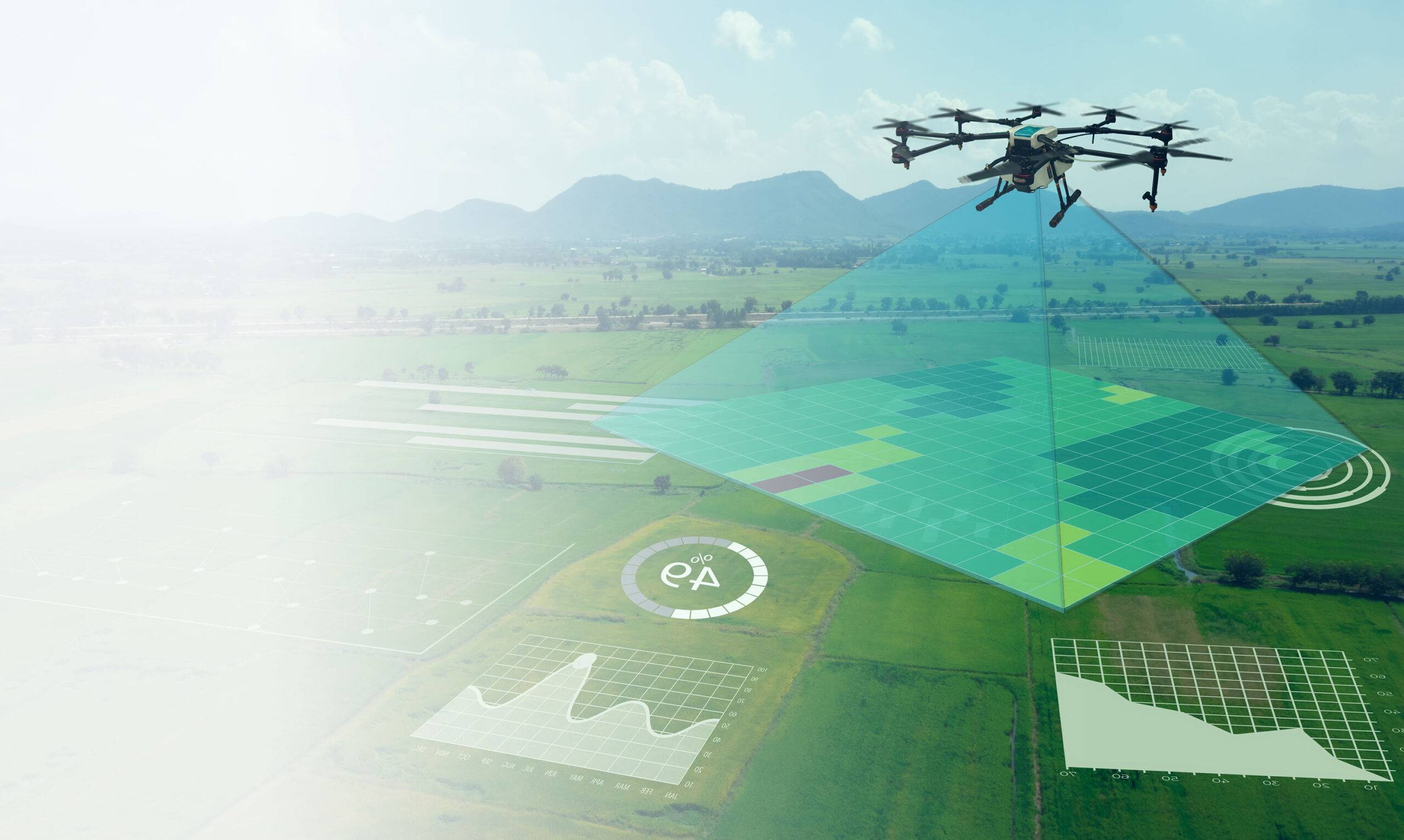
Multispectral Drone Technology for Smart Farming in India
Surveying India provides advanced multispectral drone surveying services in India designed to support modern precision agriculture. By using high-resolution drone sensors and intelligent data analysis, we help farmers, agribusiness companies, and agricultural researchers monitor crop health, improve productivity, and manage farms more efficiently.
Our multispectral drone solutions allow accurate field monitoring and provide valuable insights that help farmers take informed decisions about irrigation, fertilizer usage, pest control, and crop planning. With extensive experience in on-site drone data collection and post-processing, Surveying India delivers reliable agricultural intelligence across diverse farming landscapes in India.
For farmers and agricultural organizations looking to adopt modern technology, our services work seamlessly alongside solutions such as drone land surveying, drone mapping services, and DGPS land survey services, creating a complete digital agriculture ecosystem.
Advanced Multispectral Cameras for Crop Monitoring
Surveying India uses advanced multispectral cameras capable of capturing multiple wavelength bands of light. These sensors produce highly detailed imagery that helps identify crop stress, plant health variations, and vegetation density.
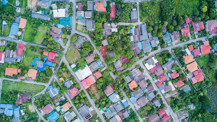
The collected data supports farmers in improving field management while complementing other services like drone photogrammetry mapping and aerial land surveys, which provide accurate geographical insights for agricultural planning.
High-Precision Drone Technology
Our agricultural drones are equipped with modern flight control systems, long-duration batteries, and high-accuracy GPS navigation. This technology allows us to perform systematic and reliable surveys across large farms, plantations, and agricultural research fields.
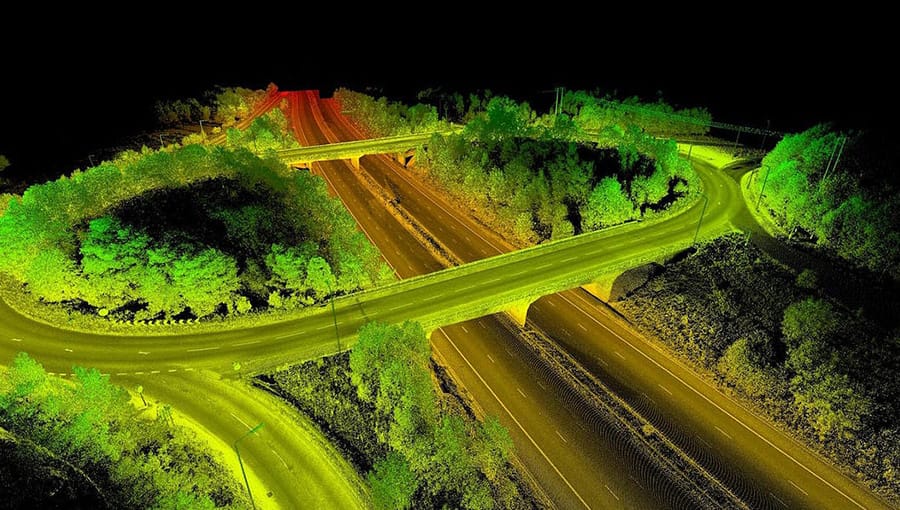
By integrating drone technology with GIS mapping services and digital land mapping solutions, we ensure that farmers receive highly precise and easy-to-interpret agricultural data.
Agricultural Insights Generated by Drone Surveys
Surveying India’s multispectral drone surveys generate several important agricultural insights, including:
NDVI vegetation health analysis
Enhanced Vegetation Index (EVI) mapping
Soil health and nutrient monitoring
Field moisture distribution mapping
Crop plant count and spacing analysis
Early pest and disease detection
Crop yield prediction and productivity analysis
Chlorophyll concentration monitoring
These insights help farmers detect problems early and improve crop performance through data-driven decision making.
Advanced Data Processing and Agricultural Analysis
The drone data collected during field surveys is processed by our experienced geospatial specialists using advanced analytics tools. We convert raw aerial imagery into actionable reports, vegetation maps, and crop health assessments.
This analytical process works alongside our GIS survey services and drone mapping solutions, allowing farmers and agricultural planners to better understand field conditions and plan farming operations effectively.
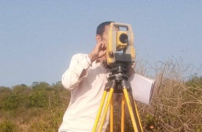
Professional On-Site Drone Data Collection
Surveying India’s experienced field team conducts professional drone surveys directly on farms. Each project is customized based on crop type, land size, and environmental conditions to ensure the most accurate results.
Our field operations are supported by advanced technologies such as DGPS land surveys and drone topographic mapping, ensuring accurate geospatial data collection for agricultural planning.
Integration with Modern Farm Management Systems
The insights generated from our multispectral drone surveys can be easily integrated with modern farm management software and agricultural monitoring platforms. This allows farmers to track crop performance, monitor field changes, and plan agricultural activities more efficiently.
Transforming Agriculture with Drone Technology
Multispectral drone technology is revolutionizing agriculture in India by enabling farmers to adopt precision farming techniques. With accurate aerial insights into crop health, soil conditions, and field variations, farmers can reduce resource wastage and improve productivity.
Surveying India combines advanced drone technology, geospatial analysis, and field expertise to deliver reliable agricultural intelligence across India. Our mission is to empower farmers with practical technology solutions that support sustainable and profitable farming.
Partner with Surveying India to integrate multispectral drone surveys, drone land mapping, and GIS agricultural analysis into your farming operations and move toward smarter, data-driven agriculture.