Multispectral Drones for Agriculture Across India
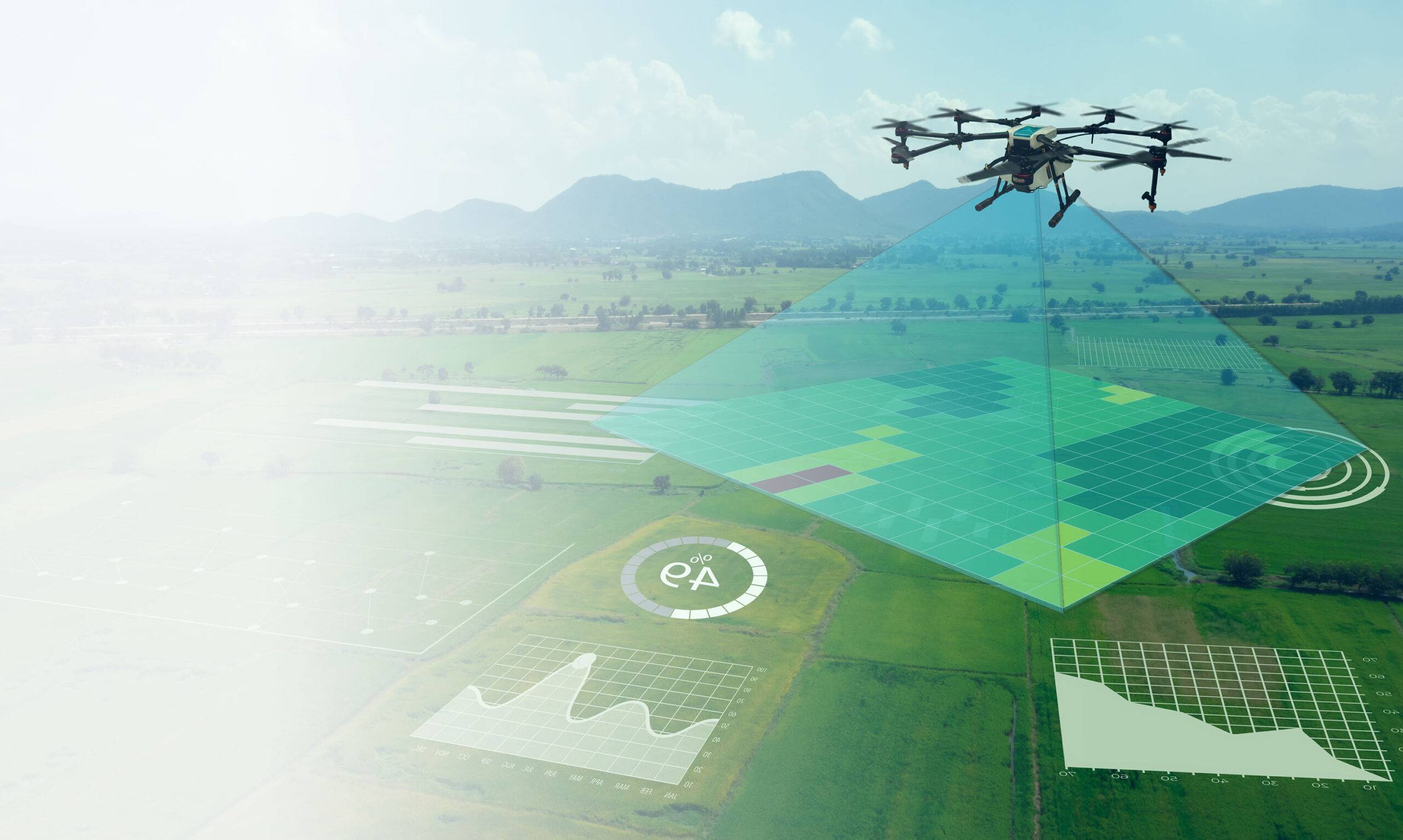
Surveying India is at the forefront of leveraging drone technology for precision agriculture, offering comprehensive multispectral drone solutions across India. With vast experience in data collection on site and post-processing, our services provide farmers with diverse analytical outputs that empower them to make informed decisions and enhance their farming practices.
Technical Details
1. Multispectral Cameras: Wavelength Bands: Our cutting-edge multispectral cameras capture specific bands of light, providing high-resolution imaging for detailed analyses.
2. Drone Technology: Flight Control, Battery Life, GPS Integration: Surveying India’s advanced drones ensure systematic and accurate data collection across large and diverse agricultural landscapes.
3. Diverse Analytical Outputs: NDVI, EVI, Soil Analysis, Moisture Mapping, Plant Count & Spacing, Pest Detection, Yield Prediction, Chlorophyll Concentration: Our technology provides a wide range of insights, tailored to the specific needs of Indian agriculture.
4. Data Analysis & Integration: Expertise in Post-Processing: Surveying India’s team of specialists skillfully process the captured data, translating it into actionable insights.
5. On-Site Data Collection: Our experienced team ensures efficient on-site data collection, customized to the unique conditions of each farm.
6. Integration with Farm Management Systems: Our solutions seamlessly integrate with existing farm tools and software for a holistic approach to farm management.
Surveying India’s multispectral drone solutions represent a paradigm shift in Indian agriculture. By offering a multifaceted view of crop health, soil conditions, and more, we are leading the way in technology-driven farming. Our vast experience in on-site data collection and post-processing enables us to provide tailored solutions that align with the diverse and dynamic needs of agriculture across India. It’s not just about technology; it’s about aligning innovation with the real-world needs of farmers, creating a sustainable and prosperous future for agriculture in India. Partner with Surveying India and take the next step towards modern, efficient, and data-driven farming.


