
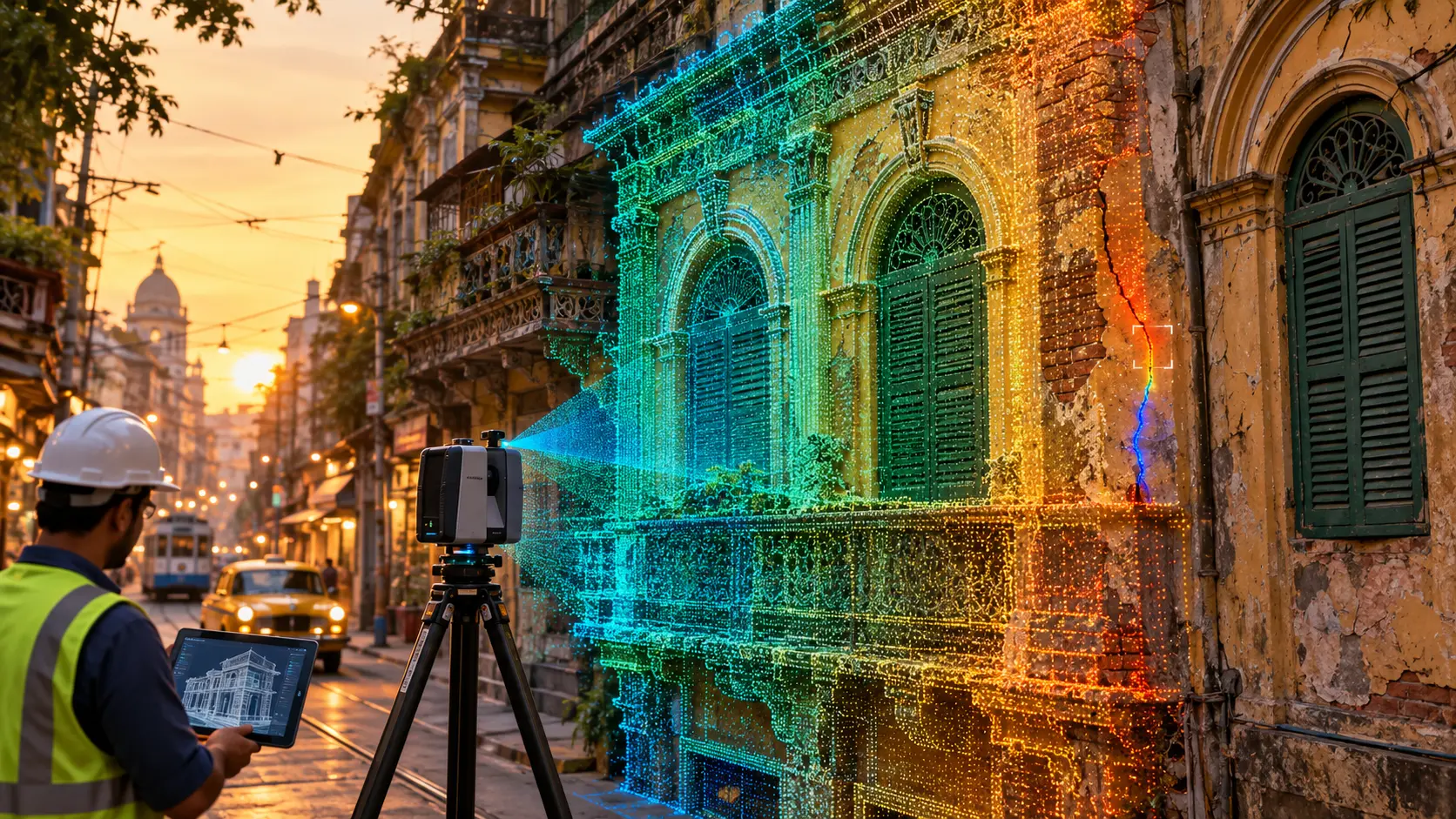
In September 2019, the tunnel-boring machine for the East-West Metro hit an aquifer under Bowbazar. Two buildings collapsed, about twenty more were damaged, and the Calcutta High Court stayed the work. Years later, a Jadavpur University expert committee commissioned by the Kolkata Municipal Corporation recommended demolishing 45 homes there, all nearly two centuries old.
Kolkata’s old buildings are valuable, fragile, and often poorly documented. That is exactly where a Scan to BIM survey in Kolkata helps. This page explains what the service involves, what it costs, and how it supports heritage restoration, Metro-adjacent work, and modern office projects across the city.
What Is a Scan to BIM Survey?
A 3D laser scanner captures millions of measurement points from a structure within minutes. This point cloud then becomes a Building Information Model (BIM), a digital replica that carries architectural, structural, and MEP information.
Compared with a manual tape-and-sketch survey, laser scanning delivers millimetre-level accuracy across the whole structure. For that reason, it has become the standard starting point for restoration, retrofit, and facility management work.
Why Kolkata Specifically Needs Scan to BIM
Kolkata mixes very old buildings, very dense lanes, and major infrastructure. Each of these raises its own documentation need.
Old buildings beside underground construction. The East-West Metro tunnel runs 10.8 km, partly under the Hooghly. Along Brabourne Road, the tunnel passed within 100 metres of heritage structures, and the Archaeological Survey of India granted permission in June 2017. Bowbazar shows what can go wrong. A later Deccan Herald report described residents protesting repeated cracks and water leaks, with KMRCL moving 52 people from 11 families into hotels as a precaution.
Listed heritage buildings. The Kolkata Municipal Corporation grades its heritage buildings as Grade I, IIA, or IIB, and owners of listed buildings report needing Heritage Conservation Committee permission even for small repairs. In 2019, the chairman of the West Bengal Heritage Commission said that, on average, two buildings of heritage value were being lost in the city every day. Accurate records give owners and conservation architects solid ground for any repair, restoration, or permission request.
Offices and IT campuses. Salt Lake’s Sector V and New Town keep adding offices and campuses. Tenant fit-outs and MEP upgrades there need an as-built model, so new services do not clash with what already sits above the ceiling.
Scanning Before Work Starts: A Baseline You Can Measure Against
Scanning does not stop a building from cracking. What it does is record the exact geometry before nearby work begins. Later, if a wall, floor, or facade looks different, a repeat scan can show whether it has actually moved and by how much.
This matters in dense central Kolkata, where a dispute over “who caused the crack” can run for years. A dated, millimetre-accurate point cloud turns that argument into a measurement. Developers, contractors, and neighbouring owners can all work from the same record.
We agree the scan area, accuracy, and repeat schedule with you first. For a major excavation or tunnelling job, that might mean scanning key facades and interiors before work, then rescanning at set stages.
Scanning Old Kolkata: Courtyard Mansions, Colonial Offices, and Narrow Lanes
North Kolkata’s courtyard mansions, Esplanade’s colonial offices, and the lanes around Bowbazar all share a problem: original drawings are usually missing, and decades of repairs have left walls out of square. Meanwhile, narrow lanes and shared walls make hand measurement slow and error-prone.
Terrestrial laser scanners work inside courtyards, stairwells, and tight lanes. They record cornices, arches, balustrades, and timber work without touching fragile surfaces. The resulting point cloud then feeds a heritage BIM model (HBIM) that conservation architects can measure, annotate, and revisit throughout a long restoration.
Many of these buildings are lived in or leased out, so we agree access, consent, and scanning windows with owners and tenants first. Please also confirm any permission requirements with the Heritage Conservation Committee before work begins.
How Much Does a Scan to BIM Survey Cost in Kolkata?
No single fixed rate applies to Scan to BIM, in Kolkata or anywhere else. Pricing varies significantly from project to project.
Based on current Indian service listings, BIM modeling typically ranges from ₹15 to ₹30 per square foot for basic architectural modeling (LOD 200-300). It rises to ₹100 to ₹180 per square foot for detailed, MEP-heavy modeling at LOD 400 and above. Scanning is usually quoted separately, often as a project-based fee that depends on site size, access, and the number of scan setups.
Several factors move a project toward the lower or higher end:
- Level of Development (LOD) — LOD 200 captures generic massing, LOD 300 adds dimensionally accurate elements, and LOD 400 includes fabrication-ready MEP detail. These definitions follow the BIMForum LOD Specification. Each step up adds modeling time, which drives most of the budget.
- Building age and complexity — Ornate, irregular heritage fabric takes longer to model than a regular commercial shell, so it usually sits toward the higher end.
- Access — Narrow lanes, occupied buildings, and shared walls may need phased or after-hours scanning.
- Repeat scans — A monitoring programme adds scan visits, although the first model is reused as the baseline.
Because of this range, the most reliable way to get a real number is a short conversation about your building, LOD, and intended use, followed by a site-specific quote.
Choosing the Right LOD for Your Kolkata Project
The right LOD depends on what you will do with the model. For a baseline condition record or area audit, LOD 200 is often enough. For renovation design and coordination, LOD 300 fits well. For detailed restoration drawings or complex MEP retrofits, LOD 400 pays off.
We match the LOD to your real deliverable before scanning starts. As a result, you pay for the detail you will actually use.
Our Scan to BIM Process in Kolkata
- Site assessment and scope definition — We confirm the building type, required LOD for each discipline, and any access, safety, or heritage constraints.
- On-site 3D laser scanning — Our in-house team captures the structure, working around occupied buildings, narrow lanes, or protected fabric.
- Point cloud registration — We align the individual scans into one unified point cloud.
- BIM modeling — The point cloud becomes an intelligent model at the agreed LOD, following the information management principles in ISO 19650, the international BIM standard.
- Clash detection and quality review — We check the model for coordination clashes and verify it against the source point cloud.
- Deliverable handover — You receive the finished BIM model in your required format, along with the registered point cloud for future reference.
How Long Does a Scan to BIM Project Take?
On-site scanning is usually the quick part. A mid-sized office floor or a single heritage house can often be captured within a day or two, depending on access and the number of scan setups.
Modeling takes longer, and its duration depends on floor area, LOD, and complexity. An ornate heritage facade models more slowly than a regular office floor. We confirm a realistic timeline in your quote, once we understand the scope.
Why an In-House Team Matters
Many providers outsource modeling after scanning, which slows delivery and creates gaps between the people who captured the data and the people interpreting it. At Surveying India, one in-house team handles scanning and modeling end to end. Consequently, you get fewer errors, faster turnaround, and a single point of contact.
Which Kolkata Projects Use Scan to BIM
- Condition baselines for old buildings near Metro, basement, or excavation work
- Heritage documentation and conservation planning for graded and ungraded buildings
- Renovation and retrofit projects where original drawings are missing
- MEP coordination and clash detection for office fit-outs in Salt Lake and New Town
- Facility audits for industrial and commercial premises
- As-built verification for newly completed residential and commercial buildings
Useful Resources for Kolkata Building Owners
These independent sites explain the rules and methods this page refers to, so you can check them yourself.
- KMC Graded List of Heritage Buildings (PDF) — The Kolkata Municipal Corporation’s list of graded heritage premises, organised by ward. Check here first to see whether your building is listed.
- West Bengal Heritage Commission — The state heritage body, which also publishes the graded list of heritage buildings.
- Historic England: 3D Laser Scanning for Heritage — A free guide to how laser scanning works on historic buildings, including how to specify and commission a survey.
- East–West Metro Tunnel (Wikipedia) — Background on the tunnel, its route under the Hooghly, and the heritage structures near Brabourne Road.
- ThePrint: Bowbazar panel report — Reporting on the Jadavpur University committee’s findings.
- BIMForum LOD Specification and ISO 19650 — The reference documents behind the LOD levels and the BIM information standard used above.
Why Choose Surveying India for Scan to BIM in Kolkata
We bring over a decade of experience in 3D laser scanning, LiDAR mapping, and geospatial engineering, with BIM projects across residential, commercial, industrial, and heritage sectors. Certified BIM professionals handle everything from field scanning and point cloud registration to LOD 200-400 modeling and handover.
Our other city teams cover related challenges. Colonial masonry is covered in our Scan to BIM survey in Chennai, and dense, inhabited heritage fabric in our Scan to BIM survey in Ahmedabad. For the dense, ageing building stock of another metro city, see our Scan to BIM work in Mumbai, and for Metro corridor capture, our LiDAR survey in Mumbai. Office and campus fit-outs are discussed in our Bengaluru and Hyderabad pages, and plant audits in our Pune page. We also deliver Scan to BIM in Delhi NCR.
Planning a Scan to BIM project in Kolkata? Share your building type, approximate size, and intended use. We’ll recommend the right LOD and give you a realistic cost estimate.
Frequently Asked Questions
What does a Scan to BIM survey cost in Kolkata?
Modeling typically costs ₹15 to ₹30 per square foot for basic architectural work at LOD 200-300, and ₹100 to ₹180 per square foot for detailed MEP modeling at LOD 400 and above. Scanning is usually quoted separately as a project-based fee.
Can a laser scan help if my building is near Metro or excavation work?
A scan does not prevent movement, but it records the exact geometry before work starts. A repeat scan later can show whether a wall or floor has moved and by how much, which gives everyone a measurable record instead of an argument.
Can Scan to BIM document Kolkata's heritage buildings?
Yes. Laser scanning captures courtyards, arches, cornices, and timber work without physical contact. The point cloud then becomes a heritage BIM model that conservation architects can use throughout a restoration
What is LOD, and why does it affect price?
Level of Development defines how much detail a BIM model contains. Higher levels need much more modeling time, which is the main driver of cost
Is the scanning fee included in the per-square-foot modeling price?
Not usually. Scanning and modeling are priced separately. Modeling scales with area and LOD, while scanning depends on site size and access.
Do you handle both scanning and BIM modeling?
Yes. Our in-house team covers field scanning, point cloud registration, BIM modeling, and clash detection, so you work with one team throughout.
Reference: Details of the Bowbazar damage come from ThePrint and Deccan Herald. The later residents’ protest is from Deccan Herald. Heritage commission comments are from a 2019 PTI report carried by Gulf Today, and listed-building permission comments from Al Jazeera. Confirm access and permission requirements with each building owner and the relevant heritage authority before scanning.