
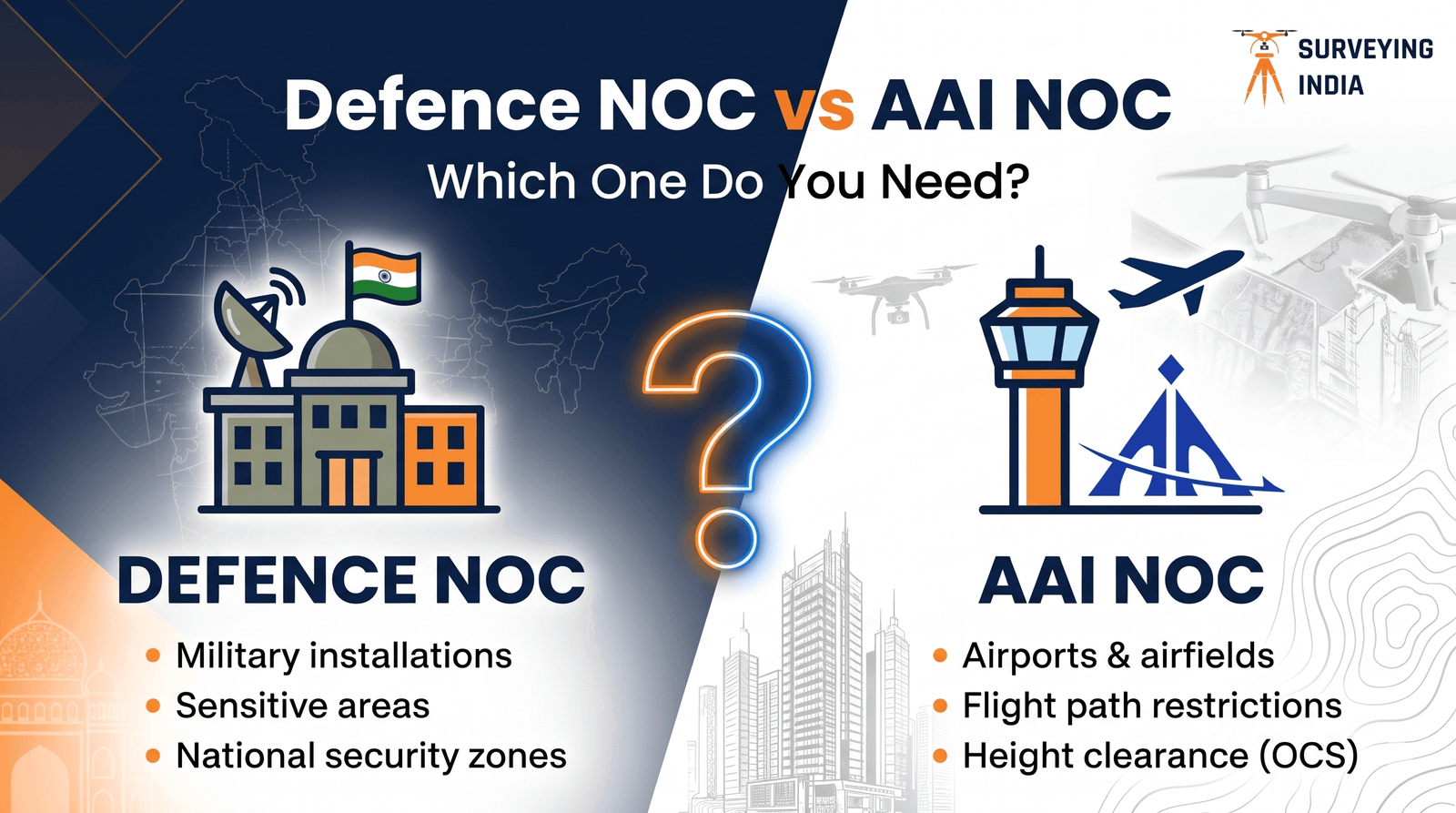
Which NOC you need depends on what stands near your site. AAI issues the height clearance near civil airports; defence authorities issue it near military airfields (see defence NOC in India), and some sites need both, or a separate view for a defence establishment.
This page compares the two clearances, gives a four-question decision flow, and says plainly where the answer is ‘check with the authority’. We read the 2015 height-safeguarding rules, AAI’s May 2024 circular, and AAI’s NOCAS guidelines and FAQ. Sources were last checked in October 2026.
Short answer
| If your site is… | You need | Who decides |
|---|---|---|
| Near a civil airport (within 20 km of a VFR airport’s reference point, or 56 km for an IFR airport) | An AAI height NOC through NOCAS, unless the auto-settle rules clear your height | AAI Designated Officer |
| Near a military airfield (IAF, Navy, Coast Guard, HAL) | A defence height NOC | An authorised officer of the defence authority |
| Near a defence establishment with no flying (depot, station, base) | The Local Military Authority’s view, usually through your planning authority | Station Commander / LMA |
| Near both a civil airport and a military airfield | Clearance from each | AAI and the defence authority |
| A telecom mast | An application through SACFA; AAI gives its clearance to SACFA | SACFA Secretariat with AAI |
| On a civil enclave inside a military airfield | Confirm with both before you design |
How the two clearances differ
Both sit under the same rulebook: the Ministry of Civil Aviation (Height Restrictions for Safeguarding of Aircraft Operations) Rules, 2015, notified as GSR 751(E) on 30 September 2015 and amended since. The rules apply to civil and defence aerodromes listed in Schedules III to VII, and Schedule V is headed Defence Aerodrome. What differs is who issues the NOC and how you apply. AAI’s Aerodrome Safeguarding Circular 02 of 2024 sets the current civil procedure.
| AAI NOC (civil airports) | Defence NOC (military airfields) | |
|---|---|---|
| Issued by | AAI’s Designated Officer, on behalf of the Central Government | An ‘authorised officer’ named by the defence authorities, who may add other conditions he or she thinks fit |
| Where you apply | Online on NOCAS (nocas2.aai.aero). Where a city portal is integrated, such as MCD or MCGM, through that portal’s common application form | Not on NOCAS. You apply to the concerned defence authority. In the public IAF letter we reviewed, HQ Western Air Command issued the NOC |
| Zoning maps | Colour coded zoning maps for major airports are on NOCAS. Local bodies can clear heights at or below the mapped elevation, up to 150 m, without referring to AAI | AAI notes that zoning maps for IAF aerodromes are held by the local stations |
| Survey data | WGS-84 coordinates in DD MM SS.s format, position within 3 m; site elevation in metres AMSL (EGM-08), within 0.5 m | Use the same as a baseline; the authority’s format prevails |
| Who can certify | Government departments or agencies, licensed surveyors or engineers authorised by the urban local body, and AAI-empanelled surveyors | Ask the station; we found no published list |
| Validity | Eight years from issue (AAI’s NOCAS guidelines), with one-time revalidation if construction has started | Stated in each NOC. One public IAF letter gave five years and no revalidation after expiry |
| Time | Up to 15 working days from receipt in NOCAS (ADSAC 02 of 2024) | No published timeline found |
| Fees | No fee to apply in AAI’s FAQ; an appeal costs Rs 2 lakh plus GST in AAI’s guidelines | None found; ask the authority |
| If the data is wrong | The NOC is not treated as duly issued and can be cancelled; the applicant is liable to legal proceedings | The public IAF letter also warned of cancellation if coordinates differ |
| Review and appeal | One review through NOCAS, then an appeal to the Ministry of Civil Aviation’s Appellate Committee | No published route found; ask in writing |
AAI’s own NOCAS FAQ states that NOCAS accepts applications for civil aerodromes only, and that for defence aerodromes the NOC is issued by the respective defence authorities, listing the Indian Air Force, Navy, Coast Guard and HAL. Some AAI figures above come from older guideline copies, so check the current NOCAS guidelines before you rely on a fee or validity period.
Which NOC do you need? Four questions
- Is a civil airport nearby? If your site is within 20 km of the reference point of a VFR airport, or 56 km of an IFR airport, you are inside AAI’s NOC process. Buildings and windmills at or below the elevation permitted in a zoning-map city, or beyond those distances, are auto-settled with a letter saying an AAI NOC is not required. Check the zoning map first: see our guide to the colour coded zoning map (CCZM) and our note on VFR vs IFR distance zones.
- Is a military airfield nearby (IAF, Navy, Coast Guard or HAL)? Then a defence height NOC applies, and NOCAS will not take it. Ask the station for its zoning map. Our guide to the defence IAF height clearance NOC covers this route.
- Is a defence establishment nearby, such as a depot, station or base? This is a different clearance, about security and sight lines rather than flight paths. Read how the NOC from the Local Military Authority for construction near defence establishments works.
- Is the structure a telecom mast? AAI’s guidelines say applicants apply through the SACFA Secretariat only, and AAI gives its height clearance to SACFA.
Count your yeses. Each one is a separate clearance. If every answer is no, none of these height NOCs follows from this chart, but local building rules and other NOCs can still apply.
When you need more than one clearance
- A site inside the zone of a civil airport and a military airfield. The rules apply to both kinds of aerodrome, so expect clearance from each.
- A site near an airfield and a separate defence establishment. In the public IAF letter we reviewed, the applicant stayed responsible for clearance from any other defence establishment nearby.
- A civil enclave on a military airfield. Which authority handles a given site depends on how the aerodrome is listed in the Rules’ schedules, so confirm in writing with both AAI and the station before you design. Pune and Chandigarh are cities where civil flying and Air Force stations are close; see our Pune and Chandigarh pages.
Common mix-ups
- Assuming an AAI approval also clears a site near an IAF base.
- Looking for a defence application on NOCAS, which does not take one.
- Giving coordinates in decimal degrees. AAI asks for DD MM SS.s with position accuracy within 3 m.
- Reading elevation off a web map instead of using a surveyed value in metres AMSL (EGM-08).
- Expecting the same validity and timeline from both. They differ, as the table shows.
- Filing a telecom mast on NOCAS instead of through SACFA.
- Treating local plan approval as the NOC. Local bodies can clear heights only within an AAI-issued zoning map; above it, an NOC is needed.
Data errors are also a common reason civil applications fail; see why airport NOC applications get rejected.
Survey data for either clearance
Both start from the same measured facts: WGS-84 coordinates and site elevation in metres AMSL. For plots over 300 sq m, AAI asks for the coordinates and elevation of all corners plus the point nearest the airport. For 300 sq m or less, a single coordinate of the nearest point is enough. The highest point’s elevation counts if it is higher than the corners. A defence station may ask for a different format, so confirm it before the survey.
Our guides cover each piece: the site elevation survey for airport NOC, the AMSL elevation certificate, documents required for an airport height clearance NOC and NOCAS application documentation.
Where we fit
We measure and certify the site data with a DGPS survey or total station survey, and prepare it in the format your authority asks for. For civil airports, see our airport NOC survey services in India.
We do not issue NOCs, and we cannot guarantee approval or a timeline. AAI and the defence authorities decide. If you are unsure which clearances your plot needs, talk to our survey team with your plot location and we will tell you what data to prepare. Our Delhi NCR page covers local airports and zones for that region.
Frequently asked questions
Is a defence NOC the same as an AAI NOC?
No. Both come from the same height-safeguarding rules (GSR 751(E)), but AAI issues the NOC for civil aerodromes while an authorised officer of the defence authority issues it for defence aerodromes. They are separate applications to separate authorities.
Can I apply for a defence NOC on NOCAS?
No. AAI states that NOCAS accepts applications for civil aerodromes only, and that for defence aerodromes the NOC is issued by the respective defence authorities, such as the Indian Air Force, Navy, Coast Guard and HAL.
Does an AAI NOC cover a site near an IAF base?
No. An AAI NOC covers the civil aerodromes AAI is responsible for. If your site also lies within the zone of a military airfield, the defence authority’s clearance is needed separately. Confirm the position with the station before you finalise the design.
Do I need both an AAI NOC and a defence NOC?
Possibly. The rules apply to civil and defence aerodromes alike, so a site inside the zone of both is expected to need clearance from each. A site near a defence establishment that is not an airfield may also need the Local Military Authority’s view through the planning authority.
Which is faster, an AAI NOC or a defence NOC?
AAI’s May 2024 circular sets a maximum of 15 working days from receipt of an application in NOCAS. We found no published timeline for defence NOCs, so treat any fixed defence timeline with caution.
How long is each NOC valid?
AAI’s published NOCAS guidelines give civil NOCs eight years from issue, with one-time revalidation if construction has started. A defence NOC states its own validity: one publicly filed IAF letter gave five years and did not allow revalidation after expiry. Read the clause in your own NOC.
Which coordinate and elevation format do both need?
AAI requires WGS-84 coordinates in DD MM SS.s format with position accuracy within 3 m, and site elevation in metres AMSL (EGM-08) within 0.5 m. A defence station may set its own format, but this is a safe baseline.
Do telecom masts need an AAI NOC separately?
Not through NOCAS. For wireless masts, applicants apply through the SACFA Secretariat, and AAI gives its height clearance to SACFA. Other structures near airports follow the normal NOC route.