
Multispectral & NDVI Solution
SurveyingIndia provides high accuracy GPS surveys to satisfy a wide variety of location and set out requirements.
Read More
Landscape Survey
SurveyingIndia has extensive experience in producing detailed and accurate landscape surveys
Read More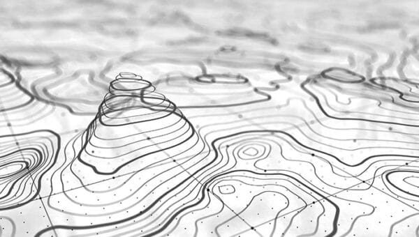
Contour Survey
Our services include detailed contour survey. Contour plans are a graphical representation of the lay of the land.
Read More
Drone Aerial Survey
Our solution combines drone technology with advanced software mapping capabilities and robust data delivery.
Read More
LiDAR Survey
Land surveys using advanced LiDAR technology have significant advantages over previous methods.
Read More
GIS & Mapping
A wide spectrum of business and public organisations in India have hired our GIS and remote sensing skills.
Read More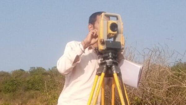
Total Station Survey
Reliable site positioning total stations are vital for the success of your operation. Contact us online to with our experts now
Read More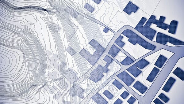
Cadastral & Land Survey
Cadastral surveying focuses on land ownership rules and the establishment of property boundaries.
Read More
3D Virtual Reality
SurveyingIndia provides cost-effective, & high-quality 360-degree panorama photo stitching services.
Read More
DGPS Survey
SurveyingIndia provides high accuracy GPS surveys to satisfy a wide variety of location and set out requirements.
Read More