Surveying India: Your Trusted Land Surveying Company in India
Surveying India is a premier land surveying company providing comprehensive geomatics and surveying solutions across Delhi NCR, Noida, Gurugram, Ghaziabad, and beyond. We specialize in a wide range of advanced surveying services tailored to meet the diverse needs of our clients.
Our Core Services:

UAV Aerial Drone Survey & Advanced Mapping
- UAV Aerial Drone Survey
- Aerial Photogrammetry
- LiDAR Surveying
- 3D Laser Scanning
- 3D Mobile LiDAR Scanner
- High-Resolution Satellite Imaging (HRSI)
- Point Cloud to BIM Solutions
- Terrestrial LiDAR Survey

Land Surveying and Geomatics Services
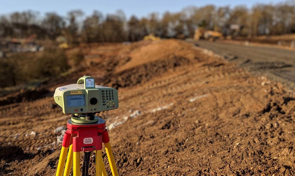
- Total Station Survey
- Road and Highway Surveys
- Dual Frequency DGPS (Differential Global Positioning) Survey
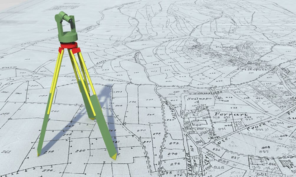
- Plot Demarcation Survey
- Topographical Surveying
- Hydrographic Surveying
- Bathymetry Survey
- Metro Rail Survey

Specialized Surveying and GIS Services
- GPR (Ground Penetrating Radar) Surveying
- GIS Mapping Services
- GIS Analysis Solutions

Additional Services
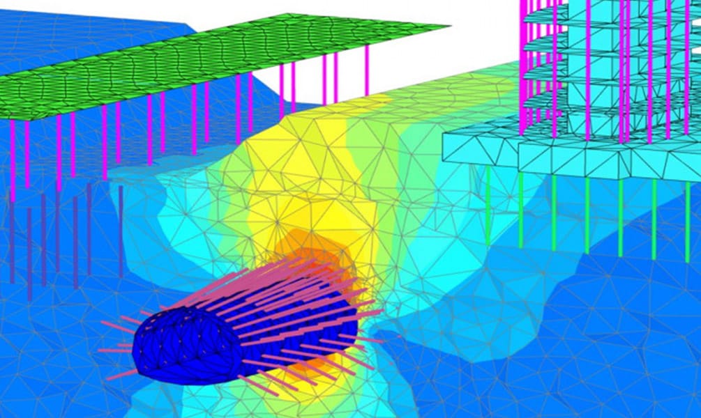
- Geotechnical Consultancy Services
- Drone Services and Rentals
- Mavic 3E – Enterprise on Rent
- Transmission Line Survey
- Railway and Tunnel Surveys
- Sewerage Surveys
- Contour Mapping and Terrain Contouring
Regional Coverage
We operate from our regional offices and working partners located in major cities including Delhi, Gurugram, Mumbai, Patna, Itanagar, Guwahati, Shimla, Mandi, Dehradun, Nainital, Haridwar, Srinagar, Jammu, Amritsar, Jalandhar, Chandigarh, Pune, Jaipur, Udaipur, Mumbai, Bangalore, Hyderabad, Bhopal, Indore and Kolkata, ensuring nationwide accessibility to our services.
Our expertise spans across:
- DGPS Control Point Surveys
- GPS Control Points
- Leveling and Contouring
- Land Demarcation and Mapping
- Topographic survey
Why Choose Surveying India?
At Surveying India, we leverage cutting-edge technology and methodologies to deliver precise and reliable results for our clients. Whether it’s UAV aerial drone surveys, advanced GIS solutions, or LiDAR Scanning, BIM modelling, or detailed land demarcation, our commitment to quality and efficiency ensures your project’s success.
Industries We Serve
Our services cater to a variety of industries, including:
- Real Estate Development
- Infrastructure Projects
- Urban Planning
- Environmental Studies
- Utilities and Energy
- Transportation
For reliable, accurate, and professional land surveying solutions in Delhi, NCR and across India, trust Surveying India to deliver excellence. Contact us today to discuss your specific requirements.
