
Surveying India offers India’s most comprehensive range of land survey services — from precision LiDAR scanning to drone aerial surveys, DGPS, cadastral mapping, and GIS solutions. Trusted by top builders, government agencies, and infrastructure firms across Delhi NCR and pan-India.
All our drone surveys are fully compliant with DGCA regulations and our GIS solutions are aligned with ISRO’s National Remote Sensing Centre standards — ensuring every deliverable meets the highest legal and technical benchmarks.
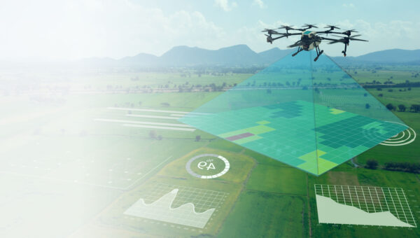
Multispectral & NDVI Solution
SurveyingIndia provides high accuracy GPS surveys to satisfy a wide variety of location and set out requirements.
Read More
Landscape Survey
SurveyingIndia has extensive experience in producing detailed and accurate landscape surveys
Read More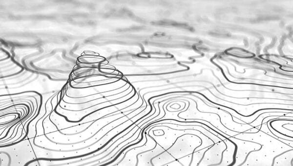
Contour Survey
Our services include detailed contour survey. Contour plans are a graphical representation of the lay of the land.
Read More
Drone Aerial Survey
Our solution combines drone technology with advanced software mapping capabilities and robust data delivery.
Read More
LiDAR Survey
Land surveys using advanced LiDAR technology have significant advantages over previous methods.
Read More
GIS & Mapping
A wide spectrum of business and public organisations in India have hired our GIS and remote sensing skills.
Read More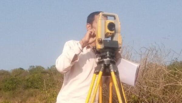
Total Station Survey
Reliable site positioning total stations are vital for the success of your operation. Contact us online to with our experts now
Read More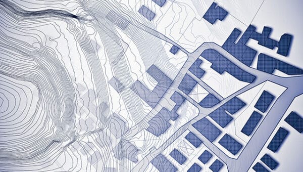
Cadastral & Land Survey
Cadastral surveying focuses on land ownership rules and the establishment of property boundaries.
Read More
3D Virtual Reality
SurveyingIndia provides cost-effective, & high-quality 360-degree panorama photo stitching services.
Read More
DGPS Survey
SurveyingIndia provides high accuracy GPS surveys to satisfy a wide variety of location and set out requirements.
Read MoreFrequently Asked Questions — About Surveying India
What survey services does Surveying India offer in India?
Surveying India offers a comprehensive range of land survey services across India, including LiDAR survey, drone aerial survey, DGPS survey, cadastral and land survey, contour survey, total station survey, landscape survey, GIS & mapping, 3D virtual reality, multispectral & NDVI solutions, and Airport NOC survey — serving builders, government agencies, PSUs, and infrastructure firms across Delhi NCR and pan-India.
What is LiDAR survey and what is it used for?
LiDAR survey uses laser-based remote sensing technology to capture highly accurate elevation and terrain data, offering significant advantages over traditional survey methods, especially in vegetated or obstructed sites where visual mapping alone falls short.
What does a drone aerial survey include?
Drone aerial survey combines drone technology with advanced software mapping capabilities and robust data delivery, allowing fast, high-resolution capture of large areas for use in planning, monitoring, and infrastructure projects.
What is a DGPS survey used for?
DGPS (Differential GPS) survey provides high-accuracy GPS-based positioning to satisfy a wide variety of location and set-out requirements, commonly used where precise point positioning is critical to a project.
What is cadastral and land survey?
Cadastral surveying focuses on land ownership rules and the establishment of property boundaries, forming the legal basis for land records, transactions, and development approvals.
What is a contour survey and what does it show?
Contour survey provides a detailed graphical representation of the lay of the land, with contour plans typically extracted from LiDAR or photogrammetry classification to show elevation changes across a site.
What is total station survey used for?
Total station survey delivers reliable, high-precision site positioning, making it essential for projects where accurate ground-level measurement is critical to successful execution.
What does a landscape survey cover?
Landscape survey involves detailed, accurate mapping of a site’s natural and built features, supporting planning and design work for landscaping, real estate, and development projects.
What is included in GIS & mapping services?
GIS and mapping services apply geographic information systems and remote sensing expertise to support business and public sector organizations across India with spatial data analysis and visualization.
What is 3D virtual reality survey used for?
3D virtual reality survey includes cost-effective, high-quality 360-degree panorama photo stitching, used to create immersive digital site documentation for planning, monitoring, and virtual walkthroughs.
What are multispectral and NDVI survey solutions used for?
Multispectral and NDVI survey solutions provide high-accuracy data for agriculture and vegetation analysis, helping assess crop health and land condition through specialized imaging techniques.