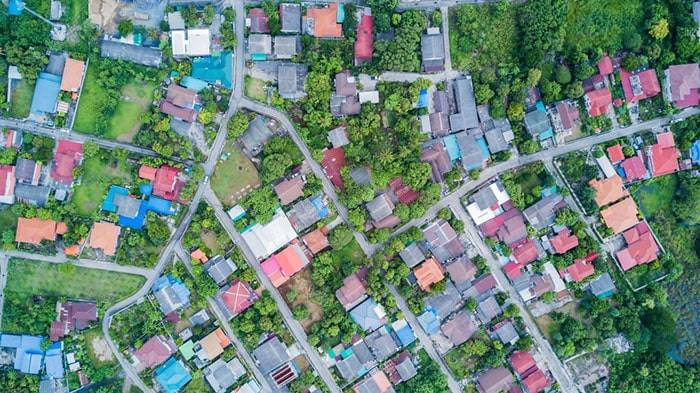
Landscape Survey
SurveyingIndia provides a comprehensive range of topographic and earthwork surveys. Surveys are carried out using a Global Positioning System (GPS), which allows detailed geo-referenced data to be acquired and readily and correctly transmitted to base maps for a range of archaeological and other uses.
Among the archaeological GPS applications are:
- Trench stake out – aiming for geophysical abnormalities or features identified in aerial images or prior surveys;
- Artefact mapping – precise 3D plots of field-walking discoveries or artefacts recovered during excavation
- Specialist site identification is using metal detectors to locate spots of historical relevance, such as battles or aircraft crashes.
- Topographic surveys allow for extensive investigation of a terrain in order to give contour and earthwork surveys.
- Grid and transect layout – properly laying out grids and transects on pre-determined points on a site or in the field;
- Pre and post excavation planning – accurate real-time planning allowing site plans to be instantaneously displayed onscreen, and survey control points – providing permanent references for future surveys removing the need to reference successive surveys
Surveying India – Landscape Survey Company in Delhi NCR
Surveying India is a premier Landscape Survey Company in Delhi NCR, known for delivering precise and detailed surveys that are essential for effective landscape planning and design. Our services cater to a wide range of industries, including architecture, urban planning, environmental management, and real estate development.
What is a Landscape Survey?
A landscape survey involves the systematic collection and analysis of data related to the physical features of a land area. This includes topography, vegetation, water bodies, built structures, and other natural and man-made elements. The information gathered helps in the planning, design, and management of landscapes to ensure sustainable and aesthetically pleasing environments.
Our Landscape Survey Services
At Surveying India, we offer comprehensive landscape survey services that are tailored to meet the specific needs of our clients. Our services include:
- Topographic Mapping
We create detailed topographic maps that showcase the contours and elevations of the land, which are crucial for landscape design and planning. - Vegetation and Soil Analysis
Our surveys include the assessment of existing vegetation and soil types to inform sustainable landscaping and conservation efforts. - Hydrological Studies
We conduct hydrological surveys to map water bodies, drainage systems, and water flow patterns, essential for effective water management in landscape planning. - Environmental Impact Assessment
We provide data for environmental impact assessments, helping in the evaluation of potential effects of development projects on the natural environment. - Urban and Regional Planning
Our landscape surveys support urban and regional planning initiatives by providing accurate data for the development of parks, gardens, and other green spaces.
Why Choose Surveying India for Landscape Surveys?
- Experienced Professionals
Our team of experienced surveyors and environmental experts bring extensive knowledge and expertise to every project. - Cutting-Edge Technology
We utilize advanced surveying equipment and software to deliver highly accurate and reliable results. - Customized Solutions
We understand that each project has unique requirements, and we offer customized solutions to meet those specific needs. - Commitment to Sustainability
We prioritize sustainable practices in our surveys, ensuring that the development and management of landscapes are environmentally responsible.
Applications of Landscape Surveys
Landscape surveys are vital in various sectors, including:
- Architecture and Design
Providing critical data for designing landscapes that are both functional and aesthetically pleasing. - Environmental Management
Supporting the conservation and rehabilitation of natural environments through informed planning. - Real Estate Development
Assisting in the planning and development of residential, commercial, and industrial properties with sustainable landscapes. - Urban Planning
Contributing to the creation of green spaces in urban areas, enhancing the quality of life for residents.
Contact Us
For expert Landscape Survey Services in Delhi NCR, trust Surveying India to deliver accurate and comprehensive surveys. Our dedication to precision, innovation, and sustainability ensures that we provide valuable insights for successful landscape projects.
Contact us today to learn more about our services and how we can assist with your landscape survey needs.

